Walk-Up6/10
Trinity Alps Canyon Creek Trailhead permit
Access to Canyon Creek Lakes. Self-issue wilderness permit....
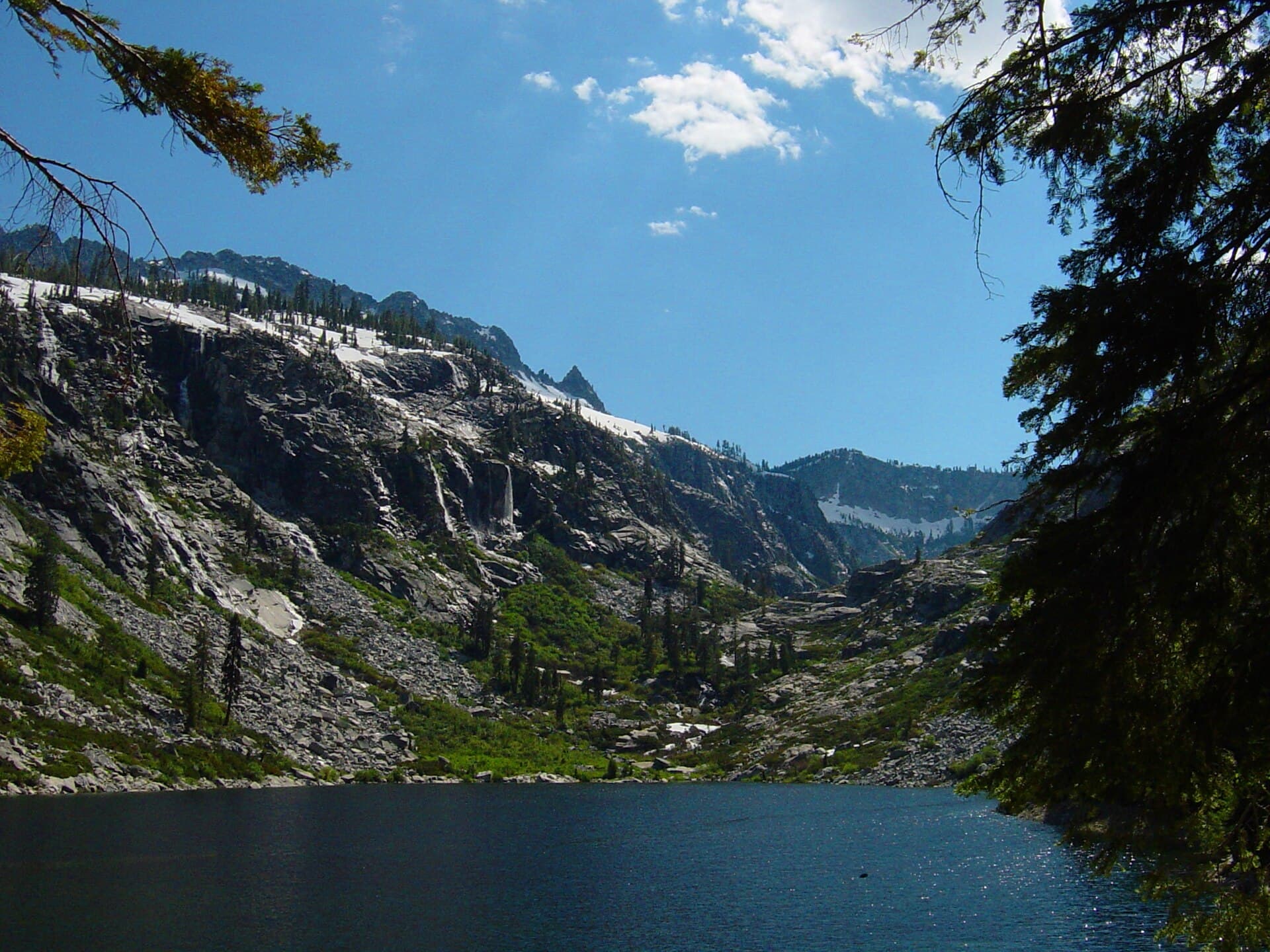
Northern California's premier alpine backpacking destination—follow the Stuart Fork to Emerald and Sapphire Lakes in the heart of the Trinity Alps Wilderness.
“Trek through old-growth forest and wildflower meadows to glacier-carved cirque lakes beneath the jagged granite peaks of Northern California's hidden Alps.”
Stuart Fork is issued by the agency rather than through a booking calendar. Their page has the current process and any dates.
Official permit pagePlanning another trip? See the permits we watch.
Stuart Fork is issued by the agency rather than through a booking calendar. Their page has the current process and any dates.
Official permit pagePlanning another trip? See the permits we watch.
Build your full itinerary start to finish
Add your dates and get a day-by-day plan: what needs a permit, what gear to bring, and one link to share with your whole group to coordinate every step.
No permit needed to start
You get this permit in person at the trailhead or ranger station, or by phone. There is no online reservation to race for, so availability alerts do not apply. We still track key dates and season info for your trip.
Official permit page →June through October. Late June and July offer peak wildflowers in Morris Meadow. August and September have more stable weather and fewer mosquitoes. Snow may linger at the lakes into early July.
Trailhead (2,900 ft)
Backcountry Tips
Today
59°
36°
Sun
48°
32°
Mon
68°
37°
Tue
71°
47°
Wed
73°
47°
Thu
75°
50°
Fri
76°
50°
This permit is not sold online. Confirm where and when it is issued — and any fee — at U.S. Forest Service before your trip.
Walk-up permits are issued first-come, first-served, and quotas can fill early on weekends and holidays.
Popular trailheads may be full. Know alternative routes or dates in case your first choice is unavailable.
Fitness and endurance required
Climbing, scrambling, or specialized skills
Steep dropoffs and fall potential
Route finding and trail clarity
Difficulty of bailing out mid-route
Intermediate backpackers comfortable with moderate distances and some route-finding. Good introduction to Trinity Alps Wilderness.
Prior overnight backpacking experience recommended. Scrambling to Sapphire Lake requires comfort on Class 2 terrain.
Those uncomfortable with brushy, overgrown trails or basic scrambling over granite.
The Stuart Fork Trail to Emerald and Sapphire Lakes is a 27-mile out-and-back backpacking route in the Trinity Alps Wilderness. The trail follows the Stuart Fork of the Trinity River through old-growth forest, passing Morris Meadow before climbing steeply to two stunning cirque lakes.
Most hikers complete this as a 3-4 day trip, with Morris Meadow serving as a popular base camp for day trips to the lakes. The wilderness permit is free and self-issued at the trailhead.
The Trinity Alps are California's best-kept wilderness secret—a rugged range with the feel of the Sierra Nevada but a fraction of the crowds. The Stuart Fork trail to Emerald and Sapphire Lakes is the wilderness's signature route, following a pristine creek through the largest roadless area in California outside the Sierra Nevada. Many consider this Northern California's finest backpacking destination.
From the Stuart Fork trailhead, the path follows its namesake creek through a cathedral of old-growth conifers. The grade is gentle for the first 9 miles, crossing Deep Creek and Deer Creek on log bridges before reaching Morris Meadow—a vast glacial valley where deer and bears patrol at dawn.
Beyond Morris Meadow, the trail steepens dramatically. Portuguese Camp offers a shaded respite before the final push. The path grows faint as it climbs through willows and brush, following cairns over granite slabs.
Emerald Lake appears suddenly—a deep turquoise pool surrounded by near-vertical granite walls. For those seeking more, a cairned scramble leads 500 feet higher to Sapphire Lake, larger and deeper, with remnants of 19th-century mining dams still visible along its shores.
The Stuart Fork trail has a different character than the granite-dominated Sierra. Here, the forest is denser—ancient Douglas fir, sugar pine, and incense cedar shade the creek where steelhead and trout rise. Morris Meadow opens like a revelation after miles of forest—a broad glacial valley ringed by jagged peaks. And then, suddenly, the vegetation falls away and you're scrambling over granite slabs to Emerald Lake, tucked into a cirque that would be famous if it weren't so wonderfully remote.
Primary access point for the Stuart Fork drainage and Emerald/Sapphire Lakes.
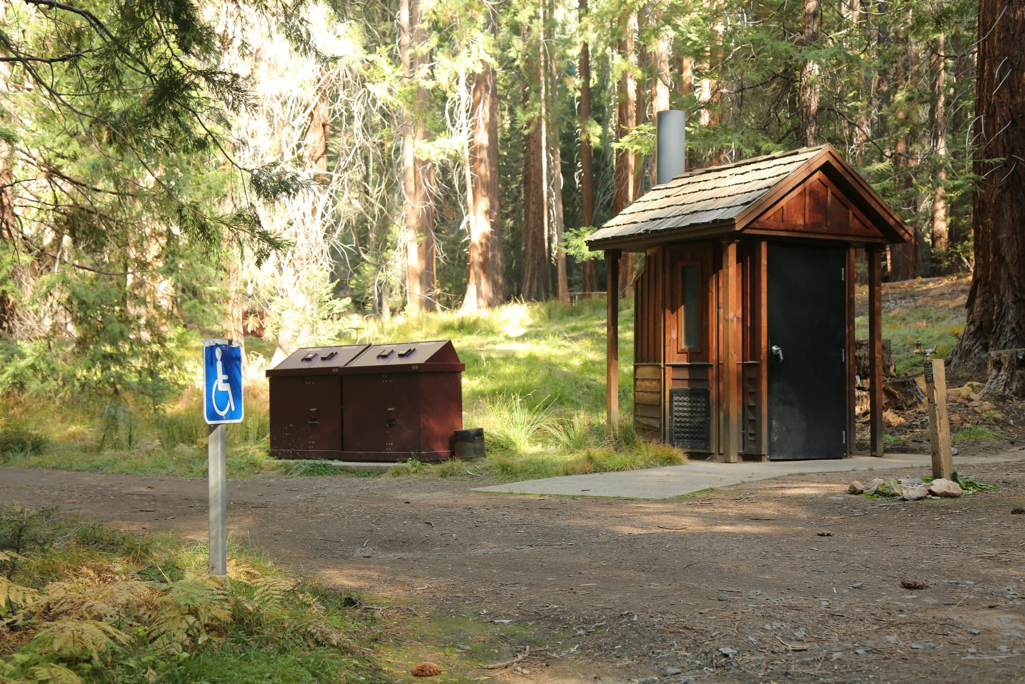
Dirt parking area. Can be crowded on summer weekends but rarely full.
From Weaverville, head north on Highway 3 and turn left on Trinity Alps Road. Pass Trinity Alps Resort and continue 2 miles on dirt road to trailhead.
Trinity Alps Resort has limited supplies. Weaverville (20 miles) has full services and the ranger station.
Required and recommended gear for Stuart Fork
Trailhead transportation options
Browse all shuttlesExperienced wilderness guides
Browse all guidesSome links may be affiliate links. Purchases support PermitSnag at no extra cost to you.
Emergency contacts, ranger station locations, and satellite communicator tips for Stuart Fork.
Bear canister requirements, approved container lists, and rental locations for this permit.
Stuart Fork is not sold online. It is issued in person or by phone, so there is no reservation to book and no cancellation to catch. PermitSnag does not send alerts for it — check the official permit page for the current process.
Check with the managing agency for current season dates. Weekdays generally have better availability than weekends.
This permit has a demand score of 7/10, making it highly competitive. We recommend having backup dates and reading the official permit page for how this one is issued.
On this permit there is no cancellation queue and no alert to set, because nothing is re-released onto a calendar we could watch. Bring backup dates, and check the official permit page for the current process and any closures.
No active conditions reported
Sign in to report trail conditions.
No questions yet
Be the first to ask about Stuart Fork.
Sunrise at Emerald Lake illuminates the granite cirque walls in golden light. The surrounding peaks catch alpenglow before the sun reaches the lake itself.
Morning light is best at the lakes due to their orientation. Morris Meadow is spectacular at any time but particularly atmospheric at dawn when deer are active.
Weekdays and early/late season see far fewer visitors. Most hikers only go to Morris Meadow—the lakes are significantly less crowded.
Consider these alternatives if your preferred dates aren't available.
Camp at Morris Meadow and day hike to the lakes, avoiding the need to carry a full pack up the steep upper section.
Easier hiking but requires longer day trip to the lakes and you miss camping at the cirque.
Another premier Trinity Alps destination with less elevation gain but equally stunning scenery.
Shorter approach but smaller lakes. Different character—more accessible but still remote.
Accessed from a different trailhead, Caribou offers a more remote alternative with fewer visitors.
More solitude but longer approach and less dramatic cirque scenery.
Nearby campgrounds to complete your Stuart Fork trip
Articles that plan a trip around this permit.
A small favor
Google lets you pick the sites it highlights for you. Add PermitSnag and our permit pages get marked as one of yours in AI Overviews and AI Mode.
Takes less than a minute.