Reservation9/10
Environmental Campsite #2 cancellations
Secluded hike-in campsite near McWay Falls....
Julia Pfeiffer Burns State Park · California
Secluded hike-in campsite near McWay Falls.
70% of the openings our scanner caught on Env Site 1 were gone within 10 minutes.
Build your full itinerary start to finish
Add your dates and get a day-by-day plan: what needs a permit, what gear to bring, and one link to share with your whole group to coordinate every step.
No permit needed to start
Fall gives you the clearest coast, with the summer fog gone and the winter rains not yet started. Park temperatures range from the mid-80s at higher elevations inland down to the mid-40s, with heavy winter rains and frequent coastal fog. Whatever season you want, start watching six months out - State Parks says these two sites usually fill six months ahead.
Trailhead (5,000 ft)
Today
78°
47°
Sun
70°
44°
Mon
81°
43°
Tue
87°
47°
Wed
89°
50°
Thu
91°
52°
Fri
90°
54°
Find this permit on the managing agency's booking system and set up an account with your payment info ready.
Permits typically release on a rolling basis. Check the specific release time for your desired dates.
Log in a few minutes early. Have your dates, group size, and payment ready to go.
If your dates are sold out, people cancel all the time. Set up PermitSnag alerts to catch openings instantly.
Green hillsides and strong creek flow, with fog starting to build on the coast.
Fitness and endurance required
Climbing, scrambling, or specialized skills
Steep dropoffs and fall potential
Route finding and trail clarity
Difficulty of bailing out mid-route
Campers happy to carry gear and every drop of water a quarter mile for one of the best coastal campsites in California. The walk is short; the self-sufficiency is the real requirement.
Basic self-supported camping. If you have packed water for a night out before, you are fine.
Anyone who needs water at their site, a vehicle beside the tent, or a group larger than four. There is no flexibility on any of the three.
Environmental Campsite #1 is one of only two hike-in campsites at Julia Pfeiffer Burns State Park. Both sit on the west side of Highway 1 south of McWay Cove, a little over a quarter mile from the parking lot in a cypress grove with ocean and coastline views. They are hike-in only - no vehicle access.
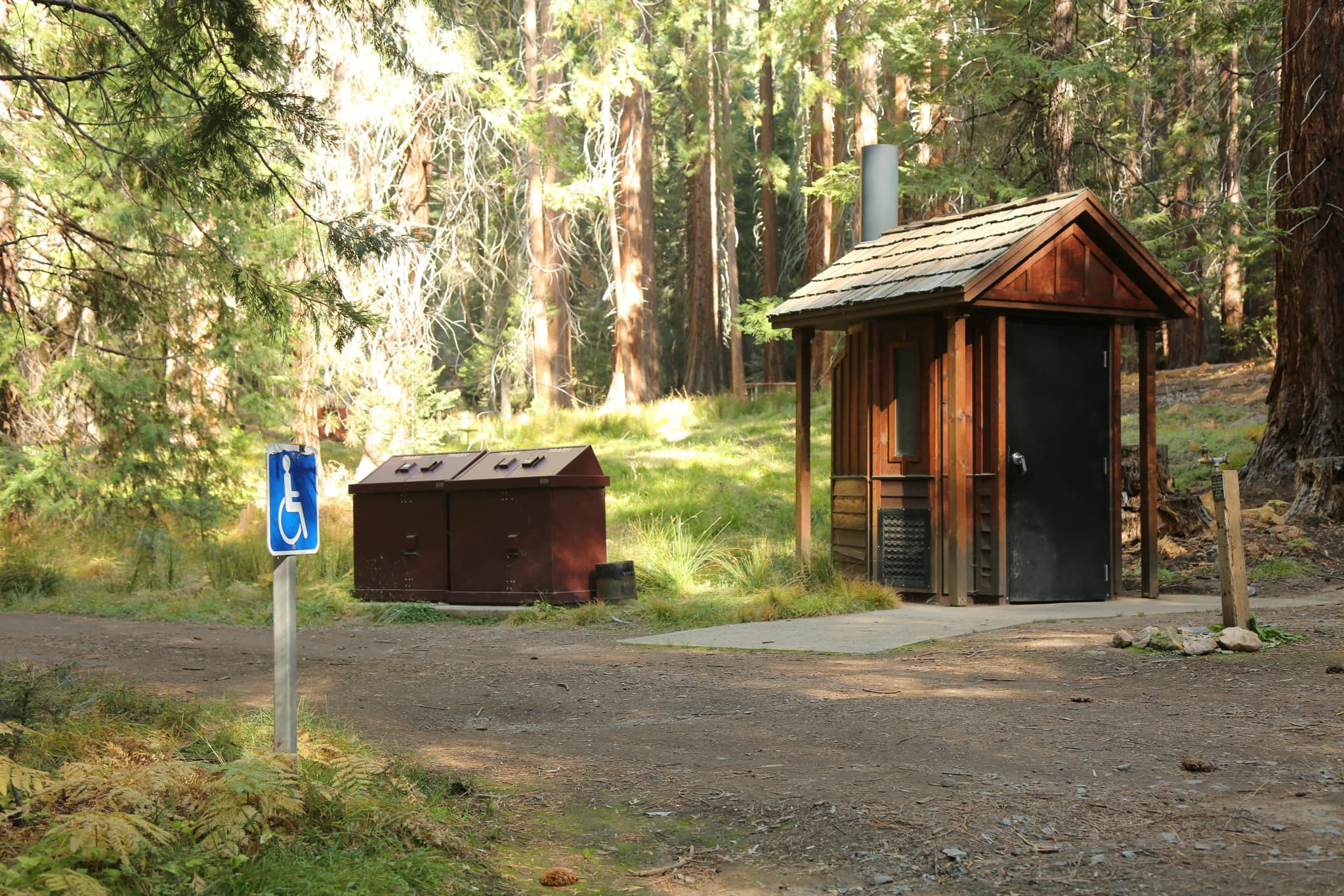
The site has a picnic table, a fire ring and a storage cabinet, with pit toilets nearby. There is no water at the site; the only running water is across Highway 1 near the restrooms, so you carry in everything you drink and cook with. Maximum four people per site. Check-in is 2:00 p.m. and check-out is noon.
The fee is $30 a night, discounted to $28 for seniors 62 and over, half price with a Disabled Discount Pass and free with a Distinguished Veterans Pass. Reservations run through ReserveCalifornia up to six months in advance, and California State Parks says these sites are extremely popular year round and usually fill up six months in advance - which makes a cancellation watch the realistic path in.
Julia Pfeiffer Burns has two environmental campsites and nothing else. Two. That is the entire overnight inventory of the park that holds McWay Falls, which makes this one of the smallest and most contested campgrounds in the California state park system. There is no way to work around it - you either hold one of the two, or you do not sleep here.
Both sites sit on the west side of Highway 1, south of McWay Cove, and there is no vehicle access - you park in the day-use lot with a valid pass and walk. The carry is a little over a quarter mile into a cypress grove with views out over the ocean and up the coastline. The only running water is back across Highway 1 near the restrooms, so plan the water haul as the real work of the trip. Note before you plan the rest of the day: the Waterfall Overlook Trail to view McWay Falls is closed for a long-term retaining wall repair project expected to continue into 2026, and the Canyon Trail is closed from 2020 Dolan Fire damage and later winter debris flows. What is open is the Ewoldsen Trail (5 miles round trip, west loop only), Partington Cove (1 mile round trip through a tunnel to a historic loading dock overlook), the Tan Bark Trail (3.2 miles one way) and Tin House Road (2.3 miles one way).
You carry your gear a little over a quarter mile from the parking lot into a cypress grove, and then the coastline just opens - ocean and headlands with nothing between you and the water. There is a storage cabinet, a fire ring and a table, pit toilets a short walk away, and no water at all. You carry every drop in. At night it is surf and wind and nothing else on Highway 1.
Day-use parking on Highway 1 south of McWay Cove; the sites are a little over a quarter mile on foot from here, on the west side of the highway.
Vehicles must be registered and display a valid parking pass. Sleeping in a vehicle in the lot or on the highway is not allowed.
11 miles south of Big Sur on Highway 1; day use is $10 per vehicle.
Pfeiffer Big Sur State Park, 11 miles north on Highway 1, sells firewood at the entrance kiosk.
The only running water is across Highway 1 near the restrooms - fill here before you carry in.
Required and recommended gear for Env Site 1
Trailhead transportation options
Browse all shuttlesExperienced wilderness guides
Browse all guidesSome links may be affiliate links. Purchases support PermitSnag at no extra cost to you.
Day-use parking on Highway 1; the walk to the sites is a little over a quarter mile with no vehicle access
Where both sites sit, with views over the ocean and up the coastline
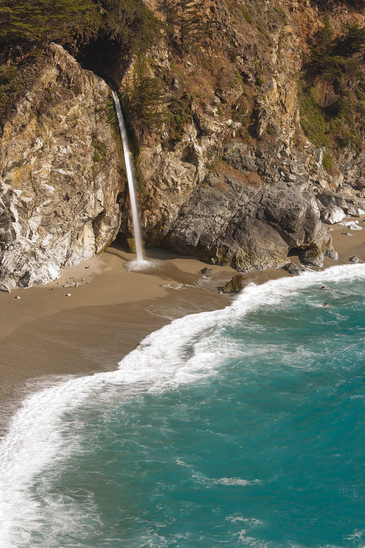
80-foot waterfall spilling onto the beach at McWay Cove - the Overlook Trail is closed for retaining wall repairs into 2026, and there is no beach or ocean access at the falls
1-mile round trip down an old wagon road and through a tunnel to a historic loading dock overlook
5 miles round trip through redwoods; the west loop is open and the east half remains closed
Two. Both are environmental campsites on the west side of Highway 1 south of McWay Cove, hike-in only with no vehicle access. That is the park's entire overnight inventory.
A little over a quarter mile from the parking lot, into a cypress grove with views of the ocean and the coastline.
No. Campers must carry in their own water. The only running water is across Highway 1 near the restrooms.
$30 a night. Seniors 62 and over pay $28, Disabled Discount Pass holders get 50% off, and Distinguished Veterans Pass holders camp free.
Six months, through ReserveCalifornia. California State Parks says these sites are extremely popular year round and usually fill up six months in advance.
Four. Check-in is 2:00 p.m. and check-out is 12:00 noon.
Not from the Overlook Trail right now - it is closed for a long-term retaining wall repair project expected to continue into 2026. McWay Falls and the beach at McWay Cove are off-limits to visitors regardless; there is no beach or ocean access at the falls.
No. Except for service animals, pets are not permitted in campsites or on trails. Pets in the parking area must be attended on a six-foot maximum leash.
No active conditions reported
Sign in to report trail conditions.
No questions yet
Be the first to ask about Env Site 1.
Sunset straight off the grove - the sites face west over open ocean, so you are shooting into the sun going down rather than behind a ridge.
Clear fall afternoons, when the marine layer has pulled back far enough to show the headlands running south.
The day-use lot empties at sunset and you are one of two parties left in the park - the whole coastline is effectively yours after dark. Shoot Partington Cove early, before the Highway 1 traffic builds.
Consider these alternatives if your preferred dates aren't available.
The park's only other environmental campsite, in the same cypress grove.
Identical setup and identical difficulty to book - but it is a second shot at the same night.
Small campground in a redwood canyon further south on the Big Sur coast, with beach access.
You can drive to your site and there is water, but availability depends on Highway 1 conditions.
Walk-in trail camp at Andrew Molera State Park, 16 miles north on Highway 1.
Another short carry to a coastal camp, with far more sites and far better odds.
189 drive-in sites along the Big Sur River, 11 miles north.
Hot showers, running water and a car at your site - but it is a busy valley campground, not a cliff-top grove.
Nearby campgrounds to complete your Env Site 1 trip
A small favor
Google lets you pick the sites it highlights for you. Add PermitSnag and our permit pages get marked as one of yours in AI Overviews and AI Mode.
Takes less than a minute.