Trailhead information
Springer Mountain (southern terminus)
Primary- No restrooms
- No water
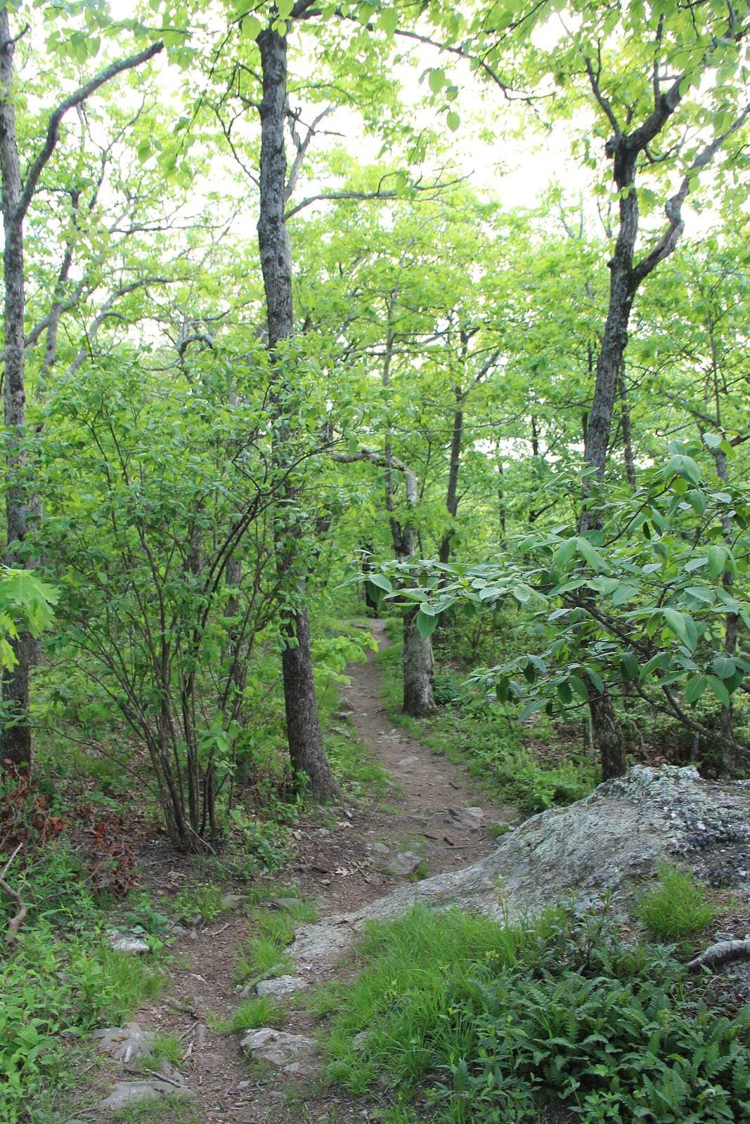
The 2,197.9-mile footpath from Springer Mountain, Georgia to Katahdin, Maine. No single permit covers the whole trail; three jurisdictions along the way require their own permit or registration.
“Walk 2,197.9 miles along the Appalachian Mountains from Springer Mountain, Georgia to Katahdin, Maine, crossing 14 states.”
Plan your Appalachian Trail trip here, then get your permit from the agency.
Walk-up permit
AT Thru-Hike is issued by the agency rather than through a booking calendar. Their page has the current process and any dates.
More about Appalachian TrailPlanning another trip? See the permits we alert on.
The route, drawn as the ground falls away
A mountain hike upside down. You lose 3,446 feet to Delaware Water Gap first, then climb 4,927 feet to Baxter Peak, Katahdin (northern terminus).
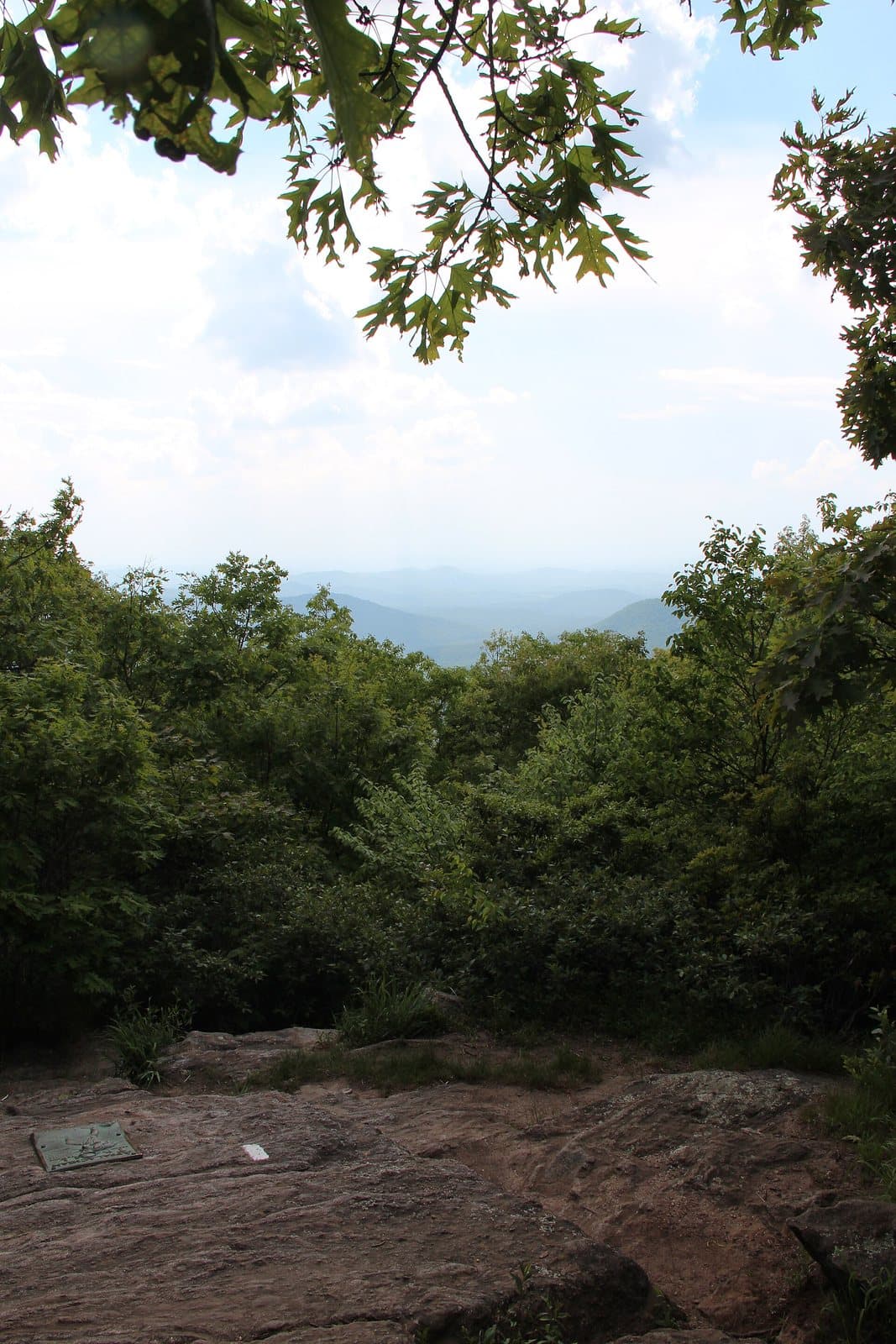
Springer Mountain (southern terminus)
The A.T.'s southern terminus, where thru-hikers sign the register at a bronze plaque before heading north.
As of September 2026, AT Thru-Hike in Appalachian Trail, Georgia requires a permit issued via walk-up. AT Thru-Hike is a high-demand permit, rating 8/10 on PermitSnag's demand index. The AT Thru-Hike route covers 2197.9 miles, rated strenuous.
Get this permit in person at the trailhead or ranger station, or by phone.
This permit is not sold online. Confirm where and when it is issued (and any fee) at the managing agency's website before your trip.
Walk-up permits are issued first-come, first-served. Where the agency sets a daily quota, popular trailheads can run out on weekends and holidays.
Popular trailheads fill fast. Know alternate routes or dates.
More on AT Thru-Hike: Live availability activityAppalachian Trail Thru-Hike permit itineraryDo I need a Appalachian Trail permit?
AT Thru-Hike permit fee: Free to hike; individual jurisdictions charge $0-$44.50 (see permitsAlongTrail).
Walk 2,197.9 miles along the Appalachian Mountains from Springer Mountain, Georgia to Katahdin, Maine, crossing 14 states.
The Appalachian Trail runs 2,197.9 miles from Springer Mountain, Georgia to Katahdin, Maine, through 14 states. Most of it is free to walk with no permit at all. Three places gate you: Great Smoky Mountains National Park (a flat-fee Activity Pass), Shenandoah National Park (a per-night backcountry permit), and Baxter State Park at the very end, where a free in-person permit lets you summit Katahdin.
From Springer Mountain, the trail climbs north through Georgia and the Great Smoky Mountains to Kuwohi (Clingmans Dome), the highest point on the entire A.T. It follows the Blue Ridge through Tennessee, Virginia and Shenandoah National Park, crosses the Potomac at Harpers Ferry, and threads Pennsylvania, New Jersey and New York's Bear Mountain, the trail's lowest point. In New England it joins Vermont's Long Trail for 100 miles, climbs Mount Washington in New Hampshire, and crosses Mahoosuc Notch into Maine. The final stretch runs through the 100-Mile Wilderness to Baxter Peak on Katahdin, the trail's northern terminus.
The Appalachian Trail is the oldest of the great American long-distance trails, maintained by volunteers under the Appalachian Trail Conservancy. Finishing it, whether as a single thru-hike or over many years of sections, is one of American hiking's defining achievements.
The trail changes character every few hundred miles: the green tunnel of the southern Appalachians, the exposed balds of the Roan Highlands, the rock scramble of Mahoosuc Notch, and finally the alpine granite of Katahdin itself. Days blur into a rhythm of climbing, descending and resupplying in trail towns, until the miles behind you outnumber the ones ahead.
Best for: Experienced hikers with excellent fitness and relevant technical skills.
Recommended experience: Should have completed 10+ mile day hikes with significant elevation gain.
Trailhead information
Trailhead information
Trailhead (124 ft)
Backcountry Tips
Today
66°
51°
Mon
68°
52°
Tue
72°
49°
Wed
75°
53°
Thu
75°
54°
Fri
75°
57°
21%
Sat
73°
57°
52%
Emergency contacts, ranger station locations, and satellite communicator tips for AT Thru-Hike.
Bear canister requirements, approved container lists, and rental locations for this permit.
Gear Checklist: Required and recommended gear for AT Thru-Hike · Shuttle Services: Trailhead transportation options · Guide Services: Experienced wilderness guides
Some links may be affiliate links. Purchases support PermitSnag at no extra cost to you.
Not one single permit. Most of the trail's 2,197.9 miles cross land where you just walk on, but three places gate you: Great Smoky Mountains National Park (an Activity Pass, currently $44.50), Shenandoah National Park (a Recreation.gov backcountry permit, $9/person plus a $6 reservation fee), and Baxter State Park at the very end, where you get a free Long-Distance Hiker Permit in person before you can summit Katahdin.
$44.50, bought as a Recreation.gov Activity Pass. It is not a dated reservation. There is no calendar and no daily cap, so it never sells out; buy it whenever you are ready to enter the park. It is a different product from the park's general backcountry permit, which charges $8 per person per night plus a $6 fee and requires a dated itinerary.
Yes. Since January 2024 every overnight backcountry stay in Shenandoah, AT thru-hikers included, needs a Recreation.gov permit: $9 per person plus a $6 reservation fee, bookable up to 90 days ahead. The park caps individual permits at 14 nights and no more than 2 consecutive nights at one site, but publishes no trail-wide quota, so a permit has never sold out.
In person, at the Katahdin Stream Campground Ranger Station in Baxter State Park. The Long-Distance Hiker Permit is free and first-come, first-served; there is no way to apply for it online ahead of time. Baxter strongly recommends finishing your summit hike before October 15, since Katahdin's trails close for the season shortly after.
Most thru-hikers finish in five to seven months, averaging just under six. Northbound hikers usually leave Springer Mountain in a wave from late February through April so they reach Katahdin before Baxter State Park's trail season effectively ends in mid-October.
Ask most finishers and they will say Mahoosuc Notch, a one-mile boulder-choked chasm on the New Hampshire-Maine border that the Appalachian Trail Conservancy itself calls the hardest mile on the trail. It is climbing and squeezing through gaps between car-sized rocks, not walking, and it can take an hour or more to cover that single mile.
The most remote stretch of the entire trail, between Monson and Abol Bridge in Maine, just before Katahdin. There is no resupply anywhere inside it, so hikers carry everything they need from Monson, the last town before Baxter State Park.
The high point is Kuwohi (Clingmans Dome), 6,643 feet, on the North Carolina-Tennessee line inside Great Smoky Mountains National Park. The low point is 124 feet at Bear Mountain, New York, right next to the Trailside Museum and Zoo.
Most thru-hikers go northbound (NOBO), starting at Springer Mountain in Georgia's early spring and finishing at Katahdin in Maine by mid-October. Southbound (SOBO) hikers start at Katahdin instead, tackling Maine's toughest terrain first while conditioning is lowest. A flip-flop starts in the middle and hikes out in both directions, which spreads out the crowds at Springer and Katahdin alike.
No active conditions reported
Sign in to report trail conditions.
No questions yet
Be the first to ask about AT Thru-Hike.
Build your full itinerary start to finish
Add your dates and get a day-by-day plan: what needs a permit, what gear to bring, and one link to share with your whole group to coordinate every step.
No permit needed to start
Google lets you pick the sites it highlights for you. Add PermitSnag and our permit pages get marked as one of yours in AI Overviews and AI Mode.
Takes less than a minute.