Trailhead information
Lake Sakakawea State Park (Western Terminus)
Primary- No restrooms
- No water
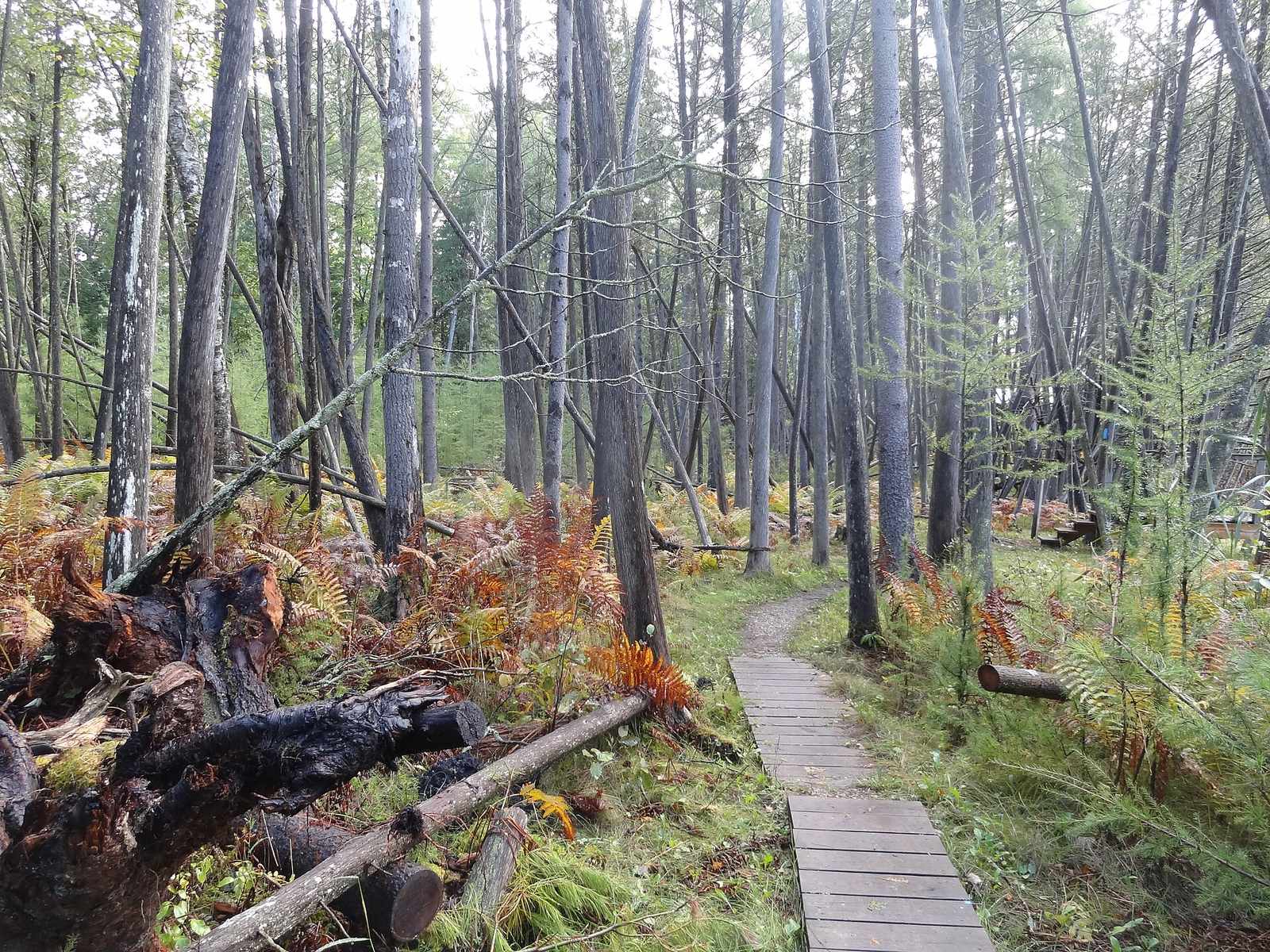
North Country National Scenic Trail · New York
The longest trail in the National Trails System: about 4,800 miles from Lake Sakakawea State Park, North Dakota to Crown Point, New York, across eight states. Almost the whole route needs no permit at all.
“The longest trail in the National Trails System: about 4,800 miles from Lake Sakakawea State Park, North Dakota to Crown Point, New York.”
Plan your North Country National Scenic Trail trip here, then get your permit from the agency.
Walk-up permit
No single permit covers the North Country Trail. Nearly all of its 4,800 miles cross land with no permit or registration at all. The one gate is the Boundary Waters Canoe Area Wilderness crossing in Minnesota, where the Forest Service issues dedicated thru-hiker entry points so a crossing needs one reservation instead of two overlapping ones.
More about North Country National Scenic TrailPlanning another trip? See the permits we alert on.
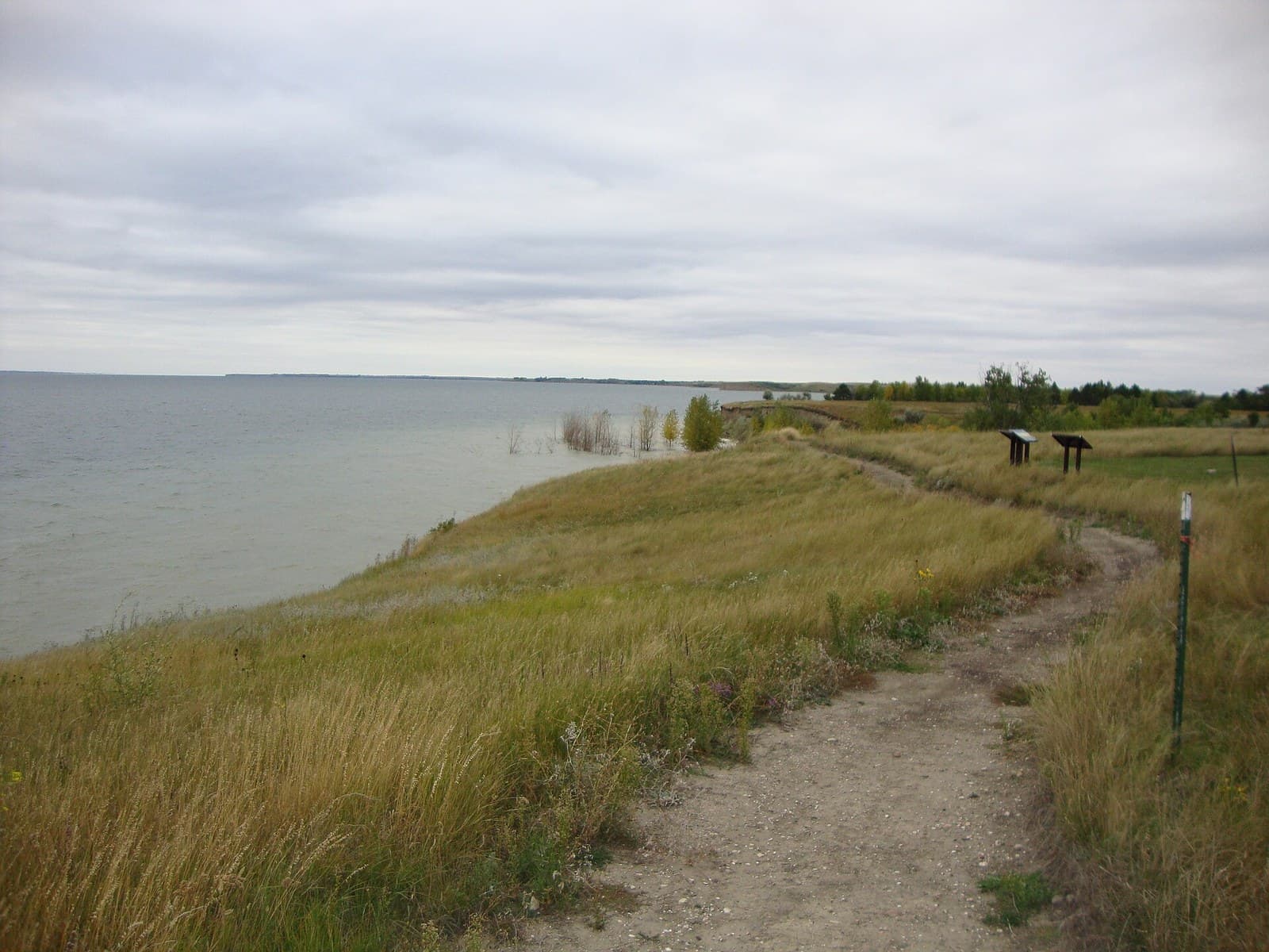
Lake Sakakawea State Park (Western Terminus)
Official western terminus of the North Country Trail, on the Missouri River.
As of September 2026, the managing agency does not require a permit for NCT Thru-Hike in North Country National Scenic Trail, New York. NCT Thru-Hike rates 4/10 on PermitSnag's demand index. The NCT Thru-Hike route covers 4800 miles, rated strenuous.
More on NCT Thru-Hike: Live availability activity
NCT Thru-Hike permit fee: Free to hike; specific segments (BWCAW, some state parks) charge their own fees -- see permitsAlongTrail.
The longest trail in the National Trails System: about 4,800 miles from Lake Sakakawea State Park, North Dakota to Crown Point, New York.
The longest trail in the National Trails System: about 4,800 miles from Lake Sakakawea State Park, North Dakota to Crown Point, New York, across eight states. Almost the whole route needs no permit at all.
From Lake Sakakawea State Park (Western Terminus) on the Missouri River, the trail runs east across the northern plains, through Minnesota's Boundary Waters near the Border Route / Kekekabic Trail junction (BWCAW), across Michigan, before finishing at Crown Point vicinity (Eastern Terminus) in New York.
The North Country Trail Association coordinates volunteers across eight states to build and maintain the longest trail in the National Trails System.
Best for: Experienced hikers with excellent fitness and relevant technical skills.
Recommended experience: Should have completed 10+ mile day hikes with significant elevation gain.
Trailhead information
Trailhead information
Trailhead (5,000 ft)
Backcountry Tips
Today
65°
53°
Mon
63°
51°
94%
Tue
78°
56°
22%
Wed
71°
53°
Thu
61°
47°
Fri
68°
44°
Sat
68°
55°
Emergency contacts, ranger station locations, and satellite communicator tips for NCT Thru-Hike.
Bear canister requirements, approved container lists, and rental locations for this permit.
Gear Checklist: Required and recommended gear for NCT Thru-Hike · Shuttle Services: Trailhead transportation options · Guide Services: Experienced wilderness guides
Some links may be affiliate links. Purchases support PermitSnag at no extra cost to you.
There is no single North Country Trail permit -- it crosses eight states and dozens of land managers. Almost all of it needs nothing at all. The one place that does require a permit is the Boundary Waters Canoe Area Wilderness crossing in Minnesota, where the Forest Service now issues dedicated thru-hiker entry points (#90 and #91) so you can cross on one reservation instead of two overlapping ones.
The National Park Service's own FAQ gives a range -- 'between 4,200 and 4,500 miles long when completed' -- while the North Country Trail Association and most other sources cite about 4,800 miles for the trail as routed today, including road-walk connector sections. It is the longest trail in the National Trails System either way.
Eight: North Dakota, Minnesota, Wisconsin, Michigan, Ohio, Pennsylvania, New York, and Vermont, running from Lake Sakakawea State Park on the Missouri River to the vicinity of Crown Point, New York, with a connector to the Appalachian Trail in Vermont.
As of 2023, about one-third of the distance is still a road walk rather than a dedicated off-road footpath, and those sections are regularly re-routed onto public or private land as the North Country Trail Association secures new corridor.
The National Park Service manages it as an official NPS unit -- a status it gained in 2023 -- in partnership with the North Country Trail Association and the many state, county, and Forest Service agencies whose land the corridor crosses.
Yes, for the segment that crosses the Boundary Waters Canoe Area Wilderness on the Border Route and Kekekabic trails. Use the dedicated North Country Trail thru-hiker BWCAW entry points, #90 on the east and #91 on the west, reserved through Recreation.gov in the May-to-September quota season.
A continuous thru-hike typically takes 8 to 12 months; most people who complete the whole trail do it in pieces over several years rather than in one continuous push.
No active conditions reported
Sign in to report trail conditions.
No questions yet
Be the first to ask about NCT Thru-Hike.
Build your full itinerary start to finish
Add your dates and get a day-by-day plan: what needs a permit, what gear to bring, and one link to share with your whole group to coordinate every step.
No permit needed to start
Google lets you pick the sites it highlights for you. Add PermitSnag and our permit pages get marked as one of yours in AI Overviews and AI Mode.
Takes less than a minute.