Trailhead information
Heflin, Alabama
Primary- No restrooms
- No water
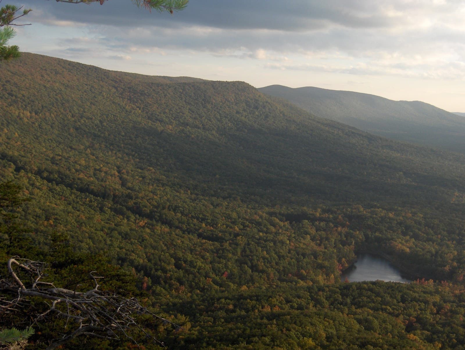
Walk 335 miles from Flagg Mountain in central Alabama to the Georgia mountains, through the Talladega and Chattahoochee-Oconee National Forests, with a connector to the Appalachian Trail's southern terminus at Springer Mountain.
“Walk 335 miles from Flagg Mountain in central Alabama to the Georgia mountains, through the Talladega and Chattahoochee-Oconee National Forests.”
Plan your Pinhoti Trail trip here, then get your permit from the agency.
Walk-up permit
No single Pinhoti Trail permit exists. It is free, self-directed camping on national forest land the whole way.
More about Pinhoti TrailPlanning another trip? See the permits we alert on.
Flagg Mountain (Southern Terminus)
The trail's southern end and the southernmost Appalachian peak over 1,000 feet, with a CCC-built stone fire tower and shelters inside Weogufka State Forest.
As of September 2026, the managing agency does not require a permit for Pinhoti in Pinhoti Trail, Alabama. Pinhoti rates 3/10 on PermitSnag's demand index. The Pinhoti route covers 335 miles, rated moderate.
More on Pinhoti: Live availability activityPinhoti Trail Thru-Hike permit itinerary
Pinhoti permit fee: Free on national forest land (self-directed; no permit or self-registration station identified).
Walk 335 miles from Flagg Mountain in central Alabama to the Georgia mountains, through the Talladega and Chattahoochee-Oconee National Forests.
Walk 335 miles from Flagg Mountain in central Alabama to the Georgia mountains, through the Talladega and Chattahoochee-Oconee National Forests, with a connector to the Appalachian Trail's southern terminus at Springer Mountain.
From Flagg Mountain (Southern Terminus), the route passes Weogufka State Forest CCC Tower, Cheaha State Park / Cheaha Mountain, Cheaha Lake, Bald Rock Boardwalk, Pulpit Rock, before finishing at Springer Mountain (Appalachian Trail Southern Terminus, via Benton MacKaye Trail).
The Pinhoti Trail connects to the Benton MacKaye and Appalachian Trails at its northern end, giving the Southeast an unbroken long-distance route from Alabama into the Appalachians.
Best for: Experienced hikers with excellent fitness and relevant technical skills.
Recommended experience: Should have completed 10+ mile day hikes with significant elevation gain.
Trailhead information
Trailhead (5,000 ft)
Today
83°
54°
Mon
84°
58°
Tue
85°
56°
Wed
87°
60°
Thu
89°
66°
Fri
88°
69°
35%
Sat
88°
66°
49%
Emergency contacts, ranger station locations, and satellite communicator tips for Pinhoti.
Bear canister requirements, approved container lists, and rental locations for this permit.
Gear Checklist: Required and recommended gear for Pinhoti · Shuttle Services: Trailhead transportation options · Guide Services: Experienced wilderness guides
Some links may be affiliate links. Purchases support PermitSnag at no extra cost to you.
No. The Forest Service pages for both the Alabama (Talladega National Forest) and Georgia (Chattahoochee-Oconee National Forest) sections state camping and trail-use rules but no permit or self-registration process for hikers. The one exception is hunting: a current Alabama hunting season permit and, in a Wildlife Management Area, a WMA license are required, but only for hunters, not for hikers passing through.
335 miles end to end. Alabama's Talladega National Forest carries the southern roughly 170 miles and Georgia's Chattahoochee-Oconee National Forest carries the northern roughly 160-plus miles, per the Forest Service's own Georgia trail page.
The southern terminus is Flagg Mountain in Coosa County, Alabama, inside Weogufka State Forest, at 1,156 feet: the southernmost Appalachian peak over 1,000 feet, per the Alabama Forestry Commission. The trail's northern end meets the Benton MacKaye Trail at the South Fork of Jacks River in Georgia's Chattahoochee-Oconee National Forest, from which hikers can continue on the Benton MacKaye Trail to Springer Mountain and the Appalachian Trail.
On national forest land, dispersed camping is allowed with limits, not open-ended: the Forest Service's Alabama camping rules state 'Camping in dispersed areas (hunt camps) is limited to 21 consecutive days,' with a 10-day waiting period before returning to the same spot. At Flagg Mountain's shelters and at the state parks the trail passes near (Cheaha in Alabama, Fort Mountain in Georgia), overnight stays need a reservation instead of being open dispersed camping.
Yes, but not directly. The Pinhoti's northern end meets the Benton MacKaye Trail in Georgia's Chattahoochee-Oconee National Forest; the Appalachian Trail Conservancy names Springer Mountain, reached from there via the Benton MacKaye Trail, as the Appalachian Trail's southern terminus at 3,782 feet.
The trail runs alongside Cheaha State Park and crosses the Talladega Scenic Drive near it. Cheaha Mountain, inside the park, is Alabama's highest point at 2,407 feet. The state park's own trails (Bald Rock, Pulpit Rock) are separate short hikes from the park, not the Pinhoti Trail's own tread, but many thru-hikers detour in for water, food, or a bed.
The trail crosses roads into several small towns for resupply, including Heflin and Piedmont, Alabama, and passes near Johns Mountain WMA and The Pocket Recreation Area in Georgia. No official Forest Service or state park source lists a formal resupply schedule; hikers plan food drops or town stops at these road crossings the same way as any other rural long trail.
Alabama's Dugger Mountain, at 2,140 feet, is the trail's high point in the Talladega National Forest section and the state's second-highest peak inside the Dugger Mountain Wilderness. Cheaha Mountain, at 2,407 feet, is higher but sits in the state park beside the trail rather than being climbed by the Pinhoti's own tread; this distinction could not be fully confirmed from agency sources and is flagged in the gaps list.
No active conditions reported
Sign in to report trail conditions.
No questions yet
Be the first to ask about Pinhoti.
Build your full itinerary start to finish
Add your dates and get a day-by-day plan: what needs a permit, what gear to bring, and one link to share with your whole group to coordinate every step.
No permit needed to start
Google lets you pick the sites it highlights for you. Add PermitSnag and our permit pages get marked as one of yours in AI Overviews and AI Mode.
Takes less than a minute.