Walk-Up5/10
High Uintas Highline Trailhead permit
Access to the Highline Trail and interior....
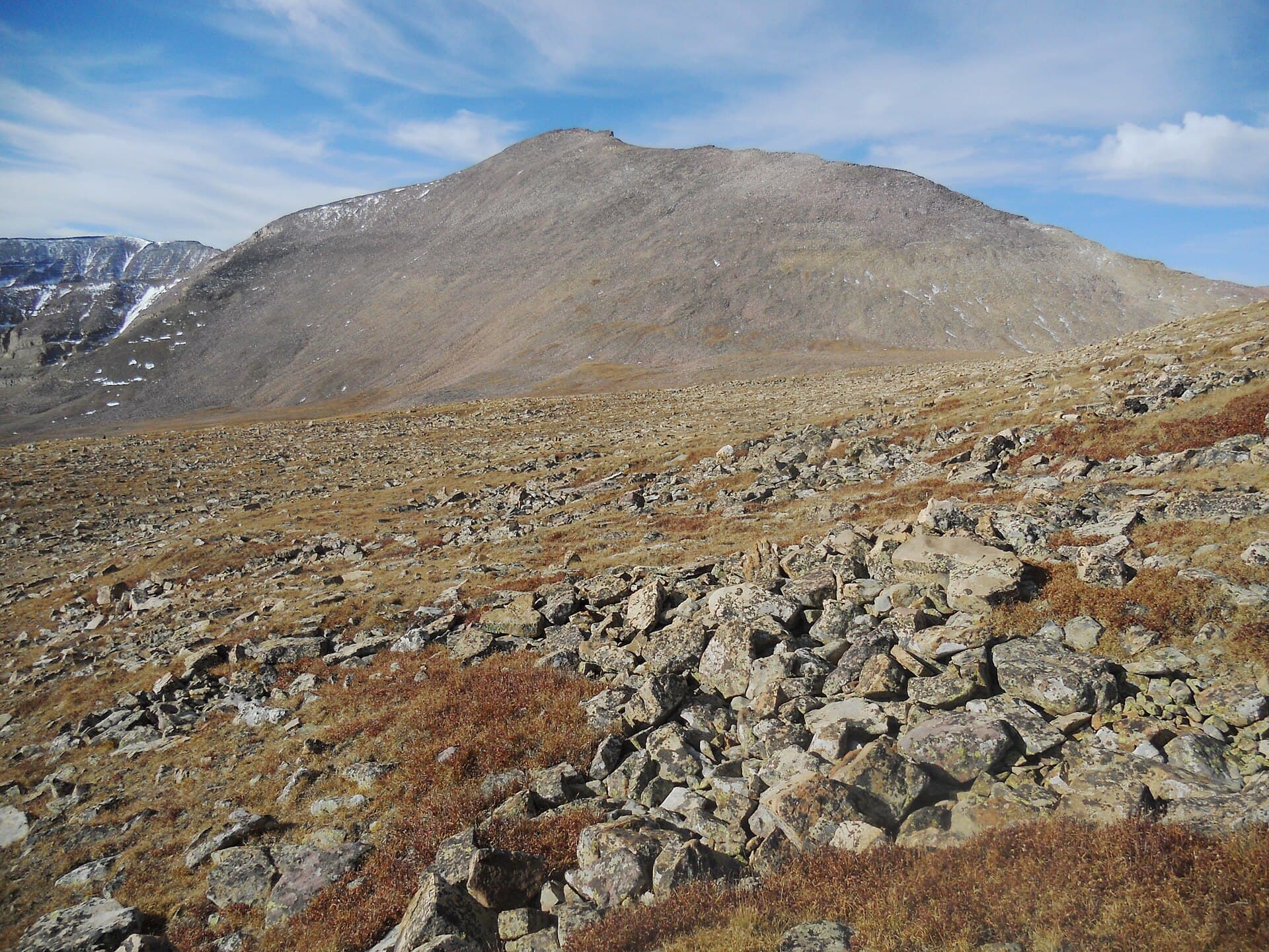
Primary access to Kings Peak.
“Climb Utah's highest peak from a high alpine basin where glacial lakes mirror 13,000-foot ridgelines and the state's roof awaits.”
Henry's Fork is issued by the agency rather than through a booking calendar. Their page has the current process and any dates.
Official permit pagePlanning another trip? See the permits we watch.
Henry's Fork is issued by the agency rather than through a booking calendar. Their page has the current process and any dates.
Official permit pagePlanning another trip? See the permits we watch.
Build your full itinerary start to finish
Add your dates and get a day-by-day plan: what needs a permit, what gear to bring, and one link to share with your whole group to coordinate every step.
No permit needed to start
You get this permit in person at the trailhead or ranger station, or by phone. There is no online reservation to race for, so availability alerts do not apply. We still track key dates and season info for your trip.
Official permit page →July-September. Snow typically clears by mid-July. September brings fall colors and fewer people but colder nights.
This permit is not sold online. Confirm where and when it is issued — and any fee — at U.S. Forest Service before your trip.
Walk-up permits are issued first-come, first-served, and quotas can fill early on weekends and holidays.
Popular trailheads may be full. Know alternative routes or dates in case your first choice is unavailable.
Fitness and endurance required
Climbing, scrambling, or specialized skills
Steep dropoffs and fall potential
Route finding and trail clarity
Difficulty of bailing out mid-route
Peak baggers seeking Utah's highest. Fit backpackers comfortable at altitude.
High-altitude hiking experience recommended. Multi-day backpacking skills.
Those who struggle at altitude. Anyone without cold-weather gear.
Henry's Fork Trail provides the most popular access to Kings Peak, Utah's highest point at 13,534 feet. The route passes through alpine lakes before a demanding summit day.
No permit quota exists, but free self-registration is required for overnight stays. The trail receives heavy use on summer weekends.
Henry's Fork is the primary access to Kings Peak (13,534 feet), the highest point in Utah. The approach through Dollar Lake basin provides classic alpine scenery while the peak itself offers straightforward but demanding summit ambitions.
From Henry's Fork Trailhead, the trail follows the creek through subalpine forest before climbing into the Dollar Lake basin. Most parties camp at Dollar Lake or the higher Grass Lake for a summit bid the following day.
The Kings Peak summit route follows the ridge from Gunsight Pass, gaining 2,500 feet from Dollar Lake in 5 miles. The final approach is non-technical but exposed, requiring good weather and early starts.
The trail rises through forest before breaking into alpine tundra. Dollar Lake appears first, then Grass Lake, each reflecting the peaks above. At camp, you're surrounded by raw mountain terrain. The next morning's summit push rewards with views that extend into Wyoming and beyond. You're standing on Utah's roof.
Required and recommended gear for Henry's Fork
Trailhead transportation options
Browse all shuttlesExperienced wilderness guides
Browse all guidesSome links may be affiliate links. Purchases support PermitSnag at no extra cost to you.
Emergency contacts, ranger station locations, and satellite communicator tips for Henry's Fork.
Bear canister requirements, approved container lists, and rental locations for this permit.
Henry's Fork is not sold online. It is issued in person or by phone, so there is no reservation to book and no cancellation to catch. PermitSnag does not send alerts for it — check the official permit page for the current process.
Check with the managing agency for current season dates. Weekdays generally have better availability than weekends.
This permit has a demand score of 6/10, making it moderately competitive.
On this permit there is no cancellation queue and no alert to set, because nothing is re-released onto a calendar we could watch. Bring backup dates, and check the official permit page for the current process and any closures.
No questions yet
Be the first to ask about Henry's Fork.
Sunrise from the summit is legendary. Camp high for a predawn start.
Early morning for alpine glow on peaks. Lake reflections best when winds are calm (dawn).
Weekday trips and early summer before crowds arrive. September offers fall colors and fewer people.
Consider these alternatives if your preferred dates aren't available.
Nearby campgrounds to complete your Henry's Fork trip
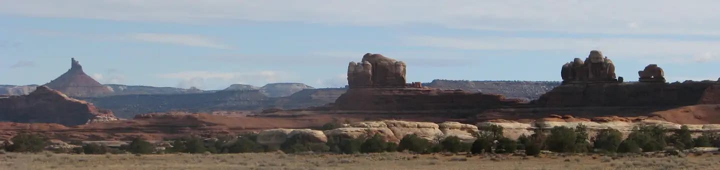 Very HardIn Demand26 sites
Canyonlands National Park
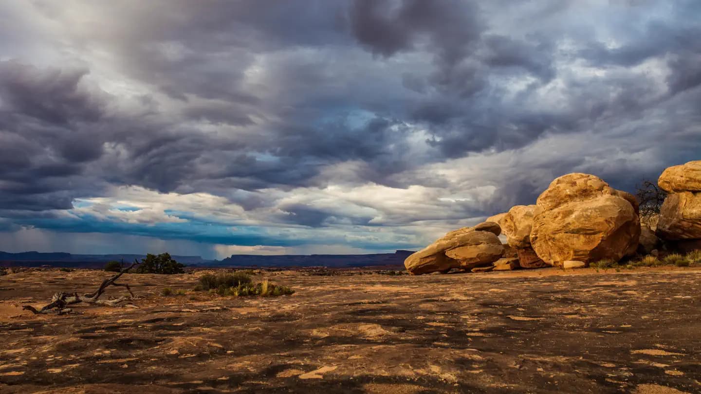 Very HardIn Demand3 sites
Canyonlands National Park
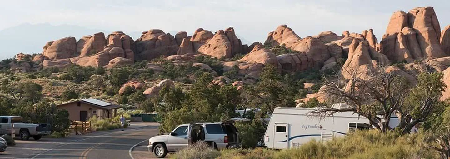 Very HardIn Demand57 sites
Arches National Park
A small favor
Google lets you pick the sites it highlights for you. Add PermitSnag and our permit pages get marked as one of yours in AI Overviews and AI Mode.
Takes less than a minute.