Cottonwood-Marble Permit: Route and Dates
Cottonwood-Marble permits are booked by advance reservation in Death Valley National Park. The route covers 26.3 miles.
This guide covers the Death Valley Cottonwood-Marble Canyon permit.
$6 reservation fee + $4 recreation use fee per permit
Permit Cost
2-3 nights
Duration
26.3 miles
Distance
3,882'
Elevation Gain
strenuous
Difficulty
About Cottonwood-Marble
The only Death Valley backpacking route that needs a wilderness permit. Book the direction you plan to walk the loop, then camp where you like inside the two canyon zones.
The Cottonwood-Marble route
- Distance
- 26.3 miles
- Route type
- loop
- Elevation gain
- 3,882 ft
- High point
- 4,783 ft
- Low point
- 1,184 ft
- Trip length
- 2-3 nights
- Difficulty
- strenuous
Starts at Cottonwood-Marble Canyon Road junction
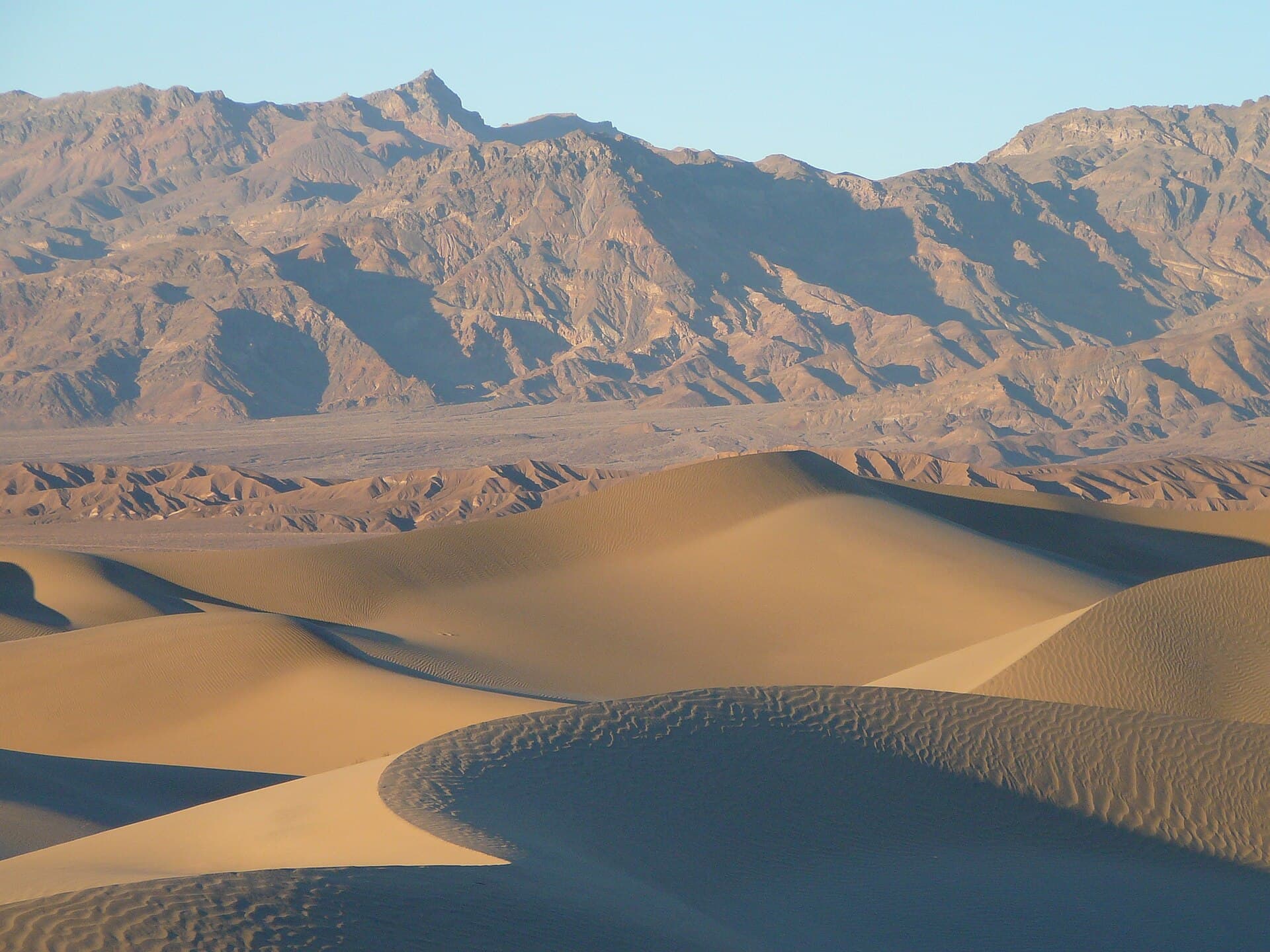
Mojave Desert. Nearest town: Stovepipe Wells
Points along the route
- Cottonwood/Marble JunctionMile 0, 1,184 ft
- Cottonwood Canyon Road EndMile 8.5, 2,819 ft
- Rock outcrop bypass (path up the south wall)Mile 11.8
- Cottonwood SpringsMile 12, 3,600 ft
- Base of the passMile 15.5
- Saddle4,783 ft
- Deadhorse CanyonMile 18
- Deadhorse Canyon dryfall3,259 ft
- Marble Canyon confluence
- Marble Canyon upper narrows2,867 ft
- Marble Canyon middle narrows
- Marble Canyon chokestone2,088 ft
- Marble Canyon RoadMile 24.5, 1,631 ft
- Cottonwood/Marble Junction (loop end)Mile 26.3, 1,184 ft
Cottonwood-Marble permit detailsandAll Death Valley National Park permits
Get Cottonwood-Marble Alerts
Be first to know when cancellations happen.
Pro Tips
Book six months out for a winter weekend. Permits release on a rolling six month window.
Cancel more than seven days ahead and the $4 use fee comes back. The $6 reservation fee never does.
Fill up at Cottonwood Springs even if you feel fine. Deadhorse is the first source to go dry.
Check road conditions before you drive. Cottonwood and Marble Canyon Roads close after storms.
100+ wilderness permits, extensive backcountry experience
This guide is based on personal experience obtaining wilderness permits and is regularly updated to reflect current policies and strategies.
Frequently Asked Questions
How do I get a Cottonwood-Marble permit?
+
Cottonwood-Marble permits require advance reservations. Book online as soon as reservations open for your desired dates.
When is the best time to visit Cottonwood-Marble?
+
October through April. Recreation.gov flags May 1 through September 30 as SUMMER BACKPACKING NOT RECOMMENDED and October 1 through April 30 as peak season. Spring water is usually reliable between December and March.
How long is the Cottonwood-Marble route?
+
The route is 26.3 miles, as a loop. Plan on 2-3 nights.
How difficult is the Cottonwood-Marble route?
+
Desert backpackers comfortable navigating without a trail, carrying heavy water, and downclimbing a short dryfall.
Where does the Cottonwood-Marble route start?
+
Cottonwood-Marble Canyon Road junction.
What gear do I need for the Cottonwood-Marble route?
+
Essential gear includes: Capacity for at least a gallon of water per person per day, Paper map and compass. There is no cell service on most park roads, Sun protection that covers you, because there is no shade in the washes, A vehicle with 4x4 and high clearance, plus a real spare, Shoes you do not mind soaking at the springs.
Don't Miss Your Cottonwood-Marble Permit
Cancellations happen every day. PermitSnag monitors Cottonwood-Marble availability 24/7 and alerts you the moment a spot opens up.
Get Permit Alerts