Ozette Coast Permit: Route and Dates
Ozette Coast permits are booked by advance reservation in Olympic National Park. The route covers 9.2 miles.
Two boardwalk miles out to the westernmost point in the contiguous United States, a night on the beach, and three miles of sea stacks and petroglyphs back - all of it timed against the tide, not the clock.
This guide covers the Ozette Triangle permit.
$6 non-refundable reservation fee per permit, plus $8 per person per night for adults 16 and over. Under 16 camp free.
Permit Cost
2 days
Duration
9.2 miles
Distance
easy
Difficulty
About Ozette Coast
The Ozette Triangle is a 9.2-mile loop: boardwalk from the Ozette Ranger Station out to Cape Alava, three miles of open beach south to Sand Point, and boardwalk back. The park rates it easy, gives elevation as sea level to 100 feet, lists no river crossings on the loop, and calls April through October the best season. Camping needs an Olympic wilderness permit reserved on Recreation.gov - $6 per permit plus $8 per person per night for anyone 16 or over. The park lists the Ozette Coast from Yellow Banks to Point of the Arches as a quota area with permits limited year round, but publishes no per-night number for it; what Recreation.gov shows bookable is the practical limit. Summer-season reservations for May 15 through October 15 are released on April 15 at 7:00 am Pacific and nothing is held for same-day walk-ups. Two rules matter more here than anywhere else in the park. The first is tides: the park publishes specific tidal restriction points along this coast - a 6-foot restriction 7.9 miles south of the Ozette Ranger Station trailhead, a 5-foot restriction at 4.9 miles, 5-foot and 4-foot restrictions 0.7 miles south of the Ozette River, and 4- to 6-foot restrictions between Point of the Arches and Seafield Creek - and states plainly that certain sections of the route are physically impassable during higher tides. Carry a tide chart; they are available at visitor centers and coastal ranger stations. The second is food. Bear canisters are required along the entire Olympic wilderness coast, and here the animal that actually gets your food is the raccoon. The park's own wording: raccoons can easily get food bags hung in trees, so always store all food, garbage, and scented items in bear canisters on the coast. Canisters are free to borrow at Wilderness Information Centers. One more thing worth knowing in August: the park warns that later into the summer the Wedding Rocks, Sand Point and South Sand Point water sources typically dry up, and that parties should carry in the water they will need while staying at those locations.
The Ozette Triangle is the easiest way into Olympic's wilderness coast, and the only one where the walking in and out is on boardwalk rather than headland scrambles. It is also on Makah and Ozette ancestral ground: the Wedding Rocks petroglyphs sit between the two camps, and the stretch between Cape Alava and the south side of the Ozette River is the Ozette Indian Reservation, where camping is prohibited outright.
The Ozette Coast route
- Distance
- 9.2 miles
- Route type
- loop
- High point
- 100 ft
- Trip length
- 2 days
- Difficulty
- easy
Entry points: Ozette Ranger Station, Swan Bay Boat Launch
Olympic Coast. Nearest town: Clallam Bay, WA
Points along the route
- Ozette Ranger Station TrailheadMile 0
- Cape AlavaMile 3.1
- Wedding Rocks
- Sand Point
- Cannonball Island (Tskawahyah Island)
Ozette Coast permit detailsandAll Olympic National Park permits
The Experience
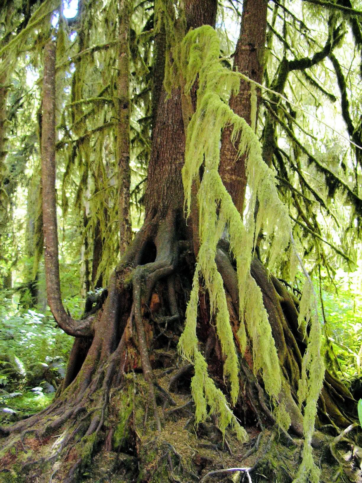
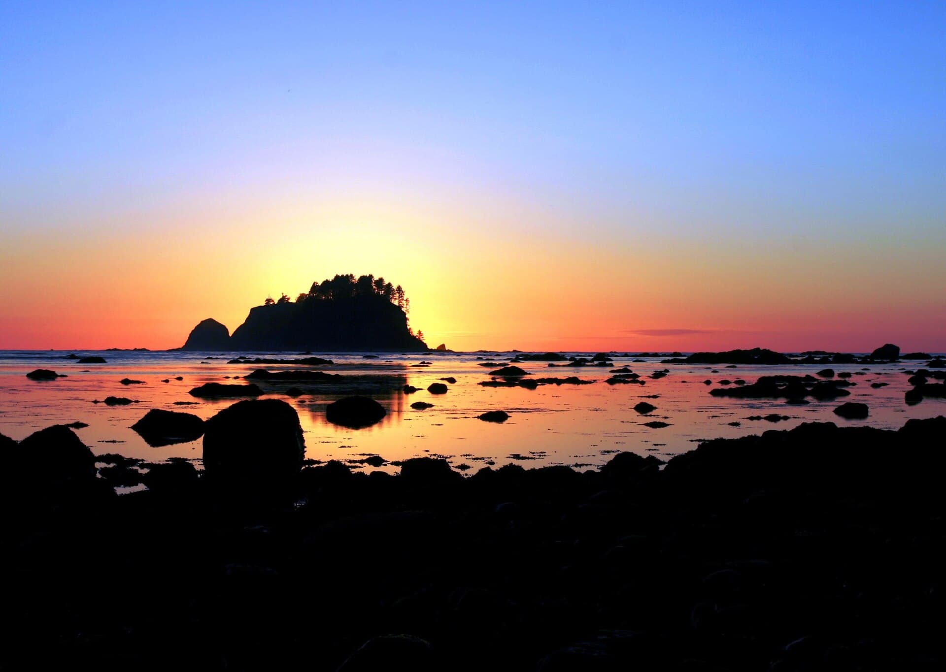
Three miles of cedar planking through bog and forest, and then the trees stop and there is the Pacific with Ozette Island offshore. Camp is on the sand above the tide line, driftwood everywhere, and the surf runs all night. In the morning the tide decides what time you leave.
The loop is 9.2 miles: boardwalk out to Cape Alava, three miles of beach south past Wedding Rocks to Sand Point, and boardwalk back to Ozette. Elevation runs from sea level to about 100 feet and the park rates it easy, with a best season of April through October and no river crossings on the loop itself.
The beach section is the part that needs planning. The park is direct about it: be prepared to hike over headland trails during high tides, some headlands cannot be rounded during the lowest of tides, and bring a map and a tide chart to plan your route. Headland trails are marked with red and black targets, and cable ladders or fixed ropes may be on site to assist climbing - leather gloves are worth carrying for the ropes. The safest time to round a headland is within one to two hours before low tide.
What to Expect
9.2 miles as a loop - about 3 miles of boardwalk out, 3 miles of beach, 3 miles of boardwalk back
Sea level to about 100 feet, with no river crossings on the loop itself
Camps at Cape Alava, Wedding Rocks, Sand Point, South Sand Point and Yellow Banks
Wedding Rocks has no water and no pit toilets
Tide-dependent headlands with red-and-black target markers, cable ladders and fixed ropes
Bear canisters required, and raccoons rather than bears are the animal that takes unsecured food
Camping is prohibited on the Ozette Indian Reservation between Cape Alava and the south side of the Ozette River
Get Ozette Coast Alerts
Be first to know when cancellations happen.
Permit Requirements
A wilderness permit is required for every overnight trip and must be reserved on Recreation.gov
Groups are limited to 12 people; associated groups must camp and travel at least 1 mile apart, may not combine, and must camp in separate camp areas such as Cape Alava and Sand Point
All food, garbage and scented items must be stored in a park-approved bear canister along the entire Olympic wilderness coast
Open fires are prohibited between the headland north of Yellow Banks and the headland at Wedding Rocks, including the Sand Point area
Camp above the high tide water line when camping on the beach
Camping is prohibited on the Ozette Indian Reservation, between the Cape Alava and South Side of Ozette River campsites
Cannonball Island (Tskawahyah Island) is part of the Ozette Indian Reservation and is always closed to the public
Permits are issued around 3 days before your trip start date
Gear & Preparation
Required Gear
- •An approved bear canister - required on the entire coast, free to borrow at a Wilderness Information Center
- •A current tide chart, available at visitor centers and coastal ranger stations
- •A stove; open fires are prohibited through the Sand Point and Wedding Rocks stretch
- •Rain gear, and dry bags for anything that must stay dry
- •Water treatment, plus the capacity to carry water in late summer when the coastal sources dry up
Recommended Gear
- •Leather gloves for the fixed ropes on the headland trails
- •Footwear you do not mind soaking on wet, slick boardwalk and cobble
- •Trekking poles for the beach cobble sections
- •A watch you can read at 5 am, because the tide sets your start time
Hazards & Safety
Tides. The park publishes specific restriction heights along this coast and says certain sections are physically impassable during higher tides
Slippery boardwalk - the park reported some weak planks with a few loose or broken ones on 2026-06-15, and notes the boardwalk can be extremely slippery if wet or frosted
Headland trails with cable ladders and fixed ropes, taken when the beach route is closed by tide
Raccoons raiding camps; the park says they climb trees to reach hung food bags
Dry water sources at Wedding Rocks, Sand Point and South Sand Point later in the summer
SR 112, the approach highway, has been subject to frequent closure and detours from flooding and landslides
Best Time to Visit
The park calls April through October the best season. July through September gives the driest boardwalk and the calmest surf, but it is also when the coastal water sources dry up, so plan to carry. Spring and autumn bring bigger swell, wetter planking and far fewer people. Permits are limited year round on this stretch of coast.
Pro Tips
Plan the beach leg around low tide, not around when you feel like walking. The park says the safest time to round a headland is within one to two hours before low tide.
Carry leather gloves. Several headland trails have fixed ropes and cable ladders, and wet manila is unpleasant without them.
In August, carry your water. The park says the Wedding Rocks, Sand Point and South Sand Point sources typically dry up later in the summer.
Check WSDOT for SR 112 before you drive. The Ozette Road itself is paved and was open as of 2025-11-13, but the highway to it closes regularly for flooding and landslides.
Walk the beach leg north to south. The petroglyphs at Wedding Rocks are easier to spot with the low sun behind you in the afternoon.
100+ wilderness permits, extensive backcountry experience
This guide is based on personal experience obtaining wilderness permits and is regularly updated to reflect current policies and strategies.
Frequently Asked Questions
How do I get a Ozette Coast permit?
+
Ozette Coast permits require advance reservations. Book online as soon as reservations open for your desired dates.
When is the best time to visit Ozette Coast?
+
The park calls April through October the best season. July through September gives the driest boardwalk and the calmest surf, but it is also when the coastal water sources dry up, so plan to carry. Spring and autumn bring bigger swell, wetter planking and far fewer people. Permits are limited year round on this stretch of coast.
How long is the Ozette Coast route?
+
The route is 9.2 miles, as a loop. Plan on 2 days.
How difficult is the Ozette Coast route?
+
First-time coastal backpackers and families who can read a tide table. Nine miles with 100 feet of elevation is genuinely easy walking.
Where does the Ozette Coast route start?
+
The permit covers 2 entry points: Ozette Ranger Station, Swan Bay Boat Launch.
What gear do I need for the Ozette Coast route?
+
Essential gear includes: An approved bear canister - required on the entire coast, free to borrow at a Wilderness Information Center, A current tide chart, available at visitor centers and coastal ranger stations, A stove; open fires are prohibited through the Sand Point and Wedding Rocks stretch, Rain gear, and dry bags for anything that must stay dry, Water treatment, plus the capacity to carry water in late summer when the coastal sources dry up.
Don't Miss Your Ozette Coast Permit
Cancellations happen every day. PermitSnag monitors Ozette Coast availability 24/7 and alerts you the moment a spot opens up.
Get Permit Alerts