Walk-Up6/10
Sinkyone Jones Beach Camp permit
Hike-in environmental camp on the Lost Coast Trail. Pay on site, no reservations...
Sinkyone Wilderness State Park
Drive-in campground at the southern end of the park, reached by Usal Road. No reservations.
“Thirty drive-in campsites on a black sand beach at the southern end of the Lost Coast Trail — currently free, six miles up an unpaved road.”
Usal Beach is issued by the agency rather than through a booking calendar. Their page has the current process and any dates.
Official permit pagePlanning another trip? See the permits we watch.
Usal Beach is issued by the agency rather than through a booking calendar. Their page has the current process and any dates.
Official permit pagePlanning another trip? See the permits we watch.
Build your full itinerary start to finish
Add your dates and get a day-by-day plan: what needs a permit, what gear to bring, and one link to share with your whole group to coordinate every step.
No permit needed to start
You get this permit in person at the trailhead or ranger station, or by phone. There is no online reservation to race for, so availability alerts do not apply. We still track key dates and season info for your trip.
Official permit page →Summer and early autumn, when the roads are dry and passable. Usal Road is closed in winter, and the rainy season makes the dirt roads impassable for passenger cars. The park notes that visitation is limited to weekends and the summer season by its remoteness.
Trailhead (5,000 ft)
Today
65°
54°
Sun
66°
53°
Mon
77°
56°
Tue
72°
56°
Wed
70°
58°
Thu
71°
61°
Fri
70°
56°
This permit is not sold online. Confirm where and when it is issued — and any fee — at California State Parks before your trip.
Walk-up permits are issued first-come, first-served, and quotas can fill early on weekends and holidays.
Popular trailheads may be full. Know alternative routes or dates in case your first choice is unavailable.
Fitness and endurance required
Climbing, scrambling, or specialized skills
Steep dropoffs and fall potential
Route finding and trail clarity
Difficulty of bailing out mid-route
Campers who want the Lost Coast without a backpack, and Lost Coast Trail hikers staging for the southern section. The camping is easy; the getting there is not.
Self-sufficiency and comfort being genuinely remote. Carry all water, store food in a bear canister, and accept that a mudslide can keep you an extra day.
Anyone in a low-clearance vehicle in wet weather, anyone with a large trailer or RV, and anyone who needs cell service or nearby help.
Usal Beach Camp is the drive-in camp at the southern end of Sinkyone Wilderness State Park. The park offers eight environmental camps, two horse camps, and two primitive camps; primitive camps offer drive-in access, while environmental camps do not, and Usal Beach is one of the two primitive camps. Usal Beach Campground is currently free, and there are no day-use fees at Usal Beach.
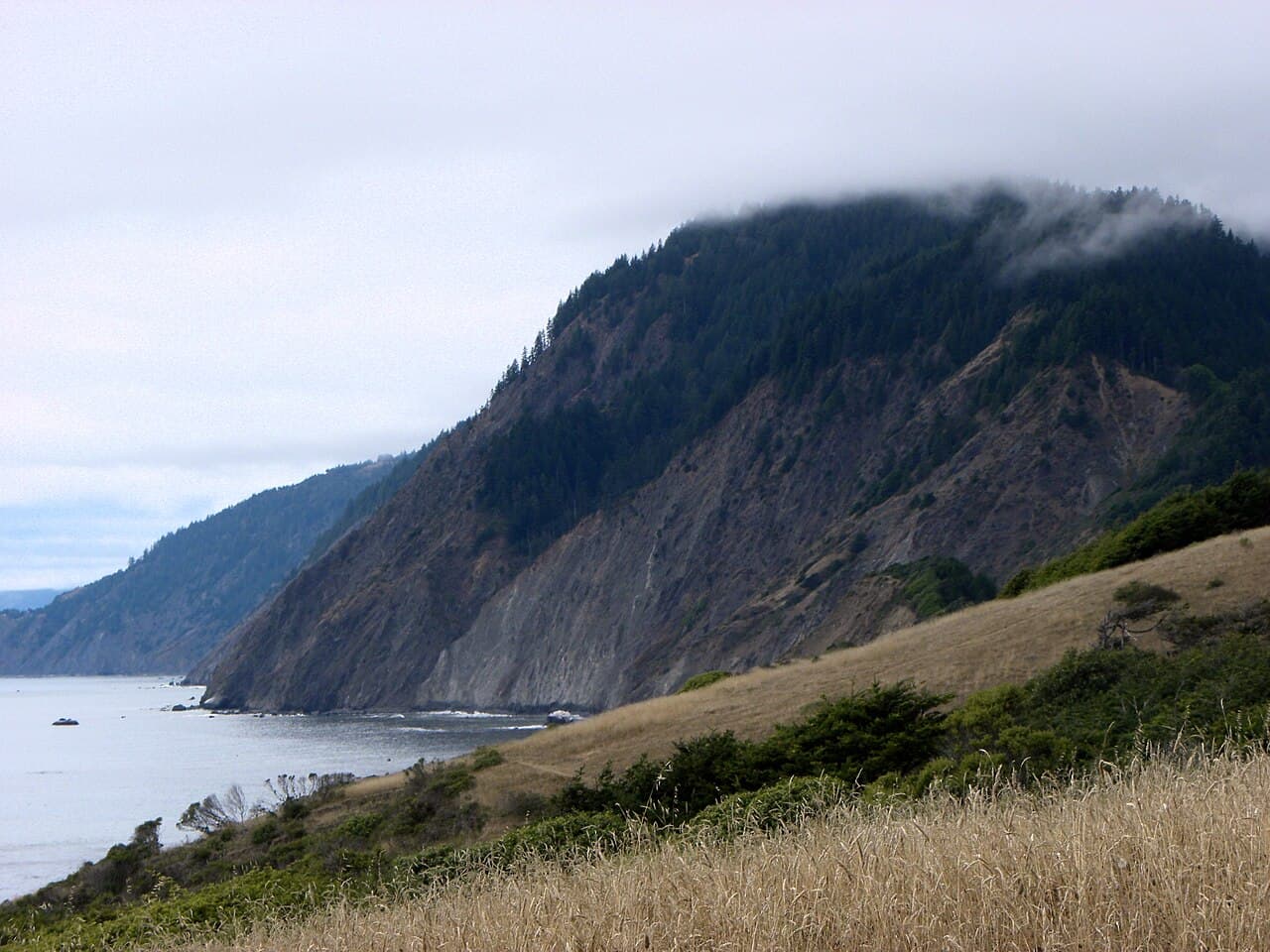
Sinkyone is approximately 7,700 acres on the southern portion of the Lost Coast, and its conditions are the point. There is no potable water anywhere in the park, and you have to haul out your own trash. When wet, the park's twisting dirt roads are impassable for passenger cars. As the park quotes one of its own rangers: the Sinkyone lets you go when it wants to let you go.
Usal is the trailhead for the Lost Coast Trail's southern section, which parallels the coastline for 22 miles within the park and is described by the agency as rugged, strenuous, and not recommended for beginner backpackers or hikers. No trails in this park are ADA-accessible.
The park's site counts come from its 2006 Preliminary General Plan and Draft EIR, which records thirty vehicle accessible campsites at Usal Beach and notes that a large number of them are not officially designated sites but have been established by long-term use patterns.
Usal is the southern gateway to Sinkyone Wilderness and one of the park's two drive-in primitive camps. It is also the trailhead for the 22 miles of Lost Coast Trail that run through the park.
Usal Beach is the southern access to Sinkyone Wilderness State Park, approximately one hour north of Fort Bragg on the Pacific Coast Highway or 15 miles west of Leggett from Highway 101. Look for mile marker 90.88 on the PCH, then turn north for approximately 6 miles onto an unpaved, steep, narrow road.
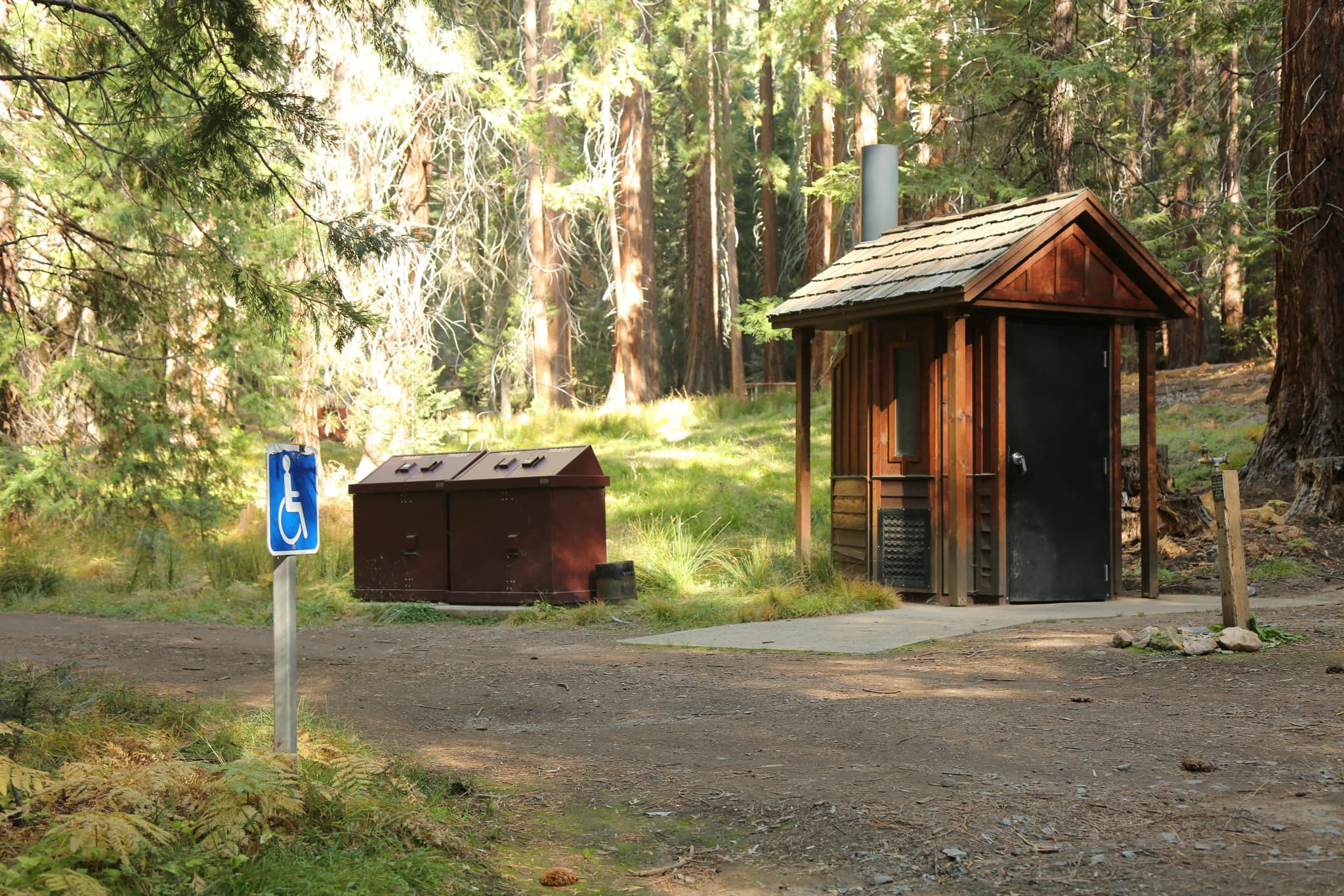
The park's 2024 map labels Usal Beach Camp as primitive, meaning drive-in access with fire rings, picnic tables and pit toilets — as distinct from the environmental camps, which do not offer drive-in access. Usal Beach Campground is currently free, and there are no day-use fees at Usal Beach either.
The Lost Coast Trail begins at the south end of the park at Usal Beach Campground and remains a foot trail until it reaches Bear Harbor. Within Sinkyone the trail runs 22 miles of the 47-mile total, and the park is blunt about it: though beautiful, this trail is rugged, strenuous, and not recommended for beginner backpackers or hikers. The Hotel Gulch trail runs from Usal Beach Campground to Wheeler and is available for horses.
Black sand, driftwood and fog, at the end of six miles of unpaved, steep, narrow road. Cellphone connectivity is limited and help may not arrive for hours.
The southern park access and the Lost Coast Trail's southern terminus, six miles up an unpaved road from the Pacific Coast Highway.
No fees at Usal Beach. Usal Beach Campground is currently free. Due to rough driving conditions, large trailers and RVs are not recommended.
Approximately one hour north of Ft Bragg on PCH or 15 miles west of Leggett on PCH from Highway 101. Look for mile marker 90.88, then turn north for approximately 6 miles onto unpaved, steep, narrow road. Usal Road is closed in winter, and roads may be impassable in wet weather.
Leggett or Fort Bragg. Nothing in the park.
Required and recommended gear for Usal Beach
Trailhead transportation options
Browse all shuttlesExperienced wilderness guides
Browse all guidesSome links may be affiliate links. Purchases support PermitSnag at no extra cost to you.
The largest beach in the park at five acres, with the most extensive use and the easiest access from main roads.
Thirty vehicle-accessible campsites, currently free.
The trail begins here and remains a foot trail until it reaches Bear Harbor.
The former Hotel Gulch Road, running from Usal Beach Campground to the Wheeler campsite at Jackass Creek, where it meets the Lost Coast Trail.
A hike-in camp north along the Lost Coast Trail.
Emergency contacts, ranger station locations, and satellite communicator tips for Usal Beach.
Bear canister requirements, approved container lists, and rental locations for this permit.
Usal Beach is not sold online. It is issued in person or by phone, so there is no reservation to book and no cancellation to catch. PermitSnag does not send alerts for it — check the official permit page for the current process.
Check with the managing agency for current season dates. Weekdays generally have better availability than weekends.
This permit has a demand score of 6/10, making it moderately competitive.
On this permit there is no cancellation queue and no alert to set, because nothing is re-released onto a calendar we could watch. Bring backup dates, and check the official permit page for the current process and any closures.
No active conditions reported
Sign in to report trail conditions.
No questions yet
Be the first to ask about Usal Beach.
Sunset straight down the beach, with fog usually rolling in behind it.
Late summer and early autumn.
The road is the filter: six miles of unpaved, steep, narrow driving. Even so, Usal sees the most extensive use of any spot in the park.
Consider these alternatives if your preferred dates aren't available.
An environmental camp on the largest and most protected cove in the park, accessible by Briceland Road except during the rainy season.
Further from the road and quieter, with a real cove. But it is an environmental camp with no drive-in access and it costs $5 per person.
A hike-in environmental camp along the Lost Coast Trail between Usal Beach and Bear Harbor, reached on foot or by the Hotel Gulch trail.
Genuinely remote and reachable from Usal on foot, but hike-in only with no road access at all.
Twenty-one first-come walk-in sites in second-growth redwood above the Sonoma Coast.
Porta-potties and 21 first-come sites within a quarter mile of the parking lot. But it is a far tamer coastline, well to the south.
Nearby campgrounds to complete your Usal Beach trip
A small favor
Google lets you pick the sites it highlights for you. Add PermitSnag and our permit pages get marked as one of yours in AI Overviews and AI Mode.
Takes less than a minute.