Reservation7/10
Inyo NF Treasure Lakes - South Lake permit
Wilderness permit for entry via Treasure Lakes - South Lake in Inyo National For...
Inyo National Forest · California
Wilderness permit for entry via Taboose Pass (JMT) in Inyo National Forest. Access to John Muir Wilderness and Ansel Adams Wilderness.
70% of the openings our scanner caught on Taboose Pass (JMT) were gone within 10 minutes.
Build your full itinerary start to finish
Add your dates and get a day-by-day plan: what needs a permit, what gear to bring, and one link to share with your whole group to coordinate every step.
No permit needed to start
The quota season runs May 1 to November 1. September and early October are the sane months here, when the canyon is cool enough to climb. Midsummer afternoons on this slope are punishing.
Trailhead (5,000 ft)
Backcountry Tips
Today
95°
51°
Sun
94°
62°
Mon
85°
51°
Tue
87°
61°
Wed
88°
61°
Thu
90°
64°
Fri
93°
67°
Find this permit on the managing agency's booking system and set up an account with your payment info ready.
Permits typically release on a rolling basis. Check the specific release time for your desired dates.
Log in a few minutes early. Have your dates, group size, and payment ready to go.
If your dates are sold out, people cancel all the time. Set up PermitSnag alerts to catch openings instantly.
Very hot in the canyon, clear at the pass, afternoon storms.
Fitness and endurance required
Climbing, scrambling, or specialized skills
Steep dropoffs and fall potential
Route finding and trail clarity
Difficulty of bailing out mid-route
Very fit, acclimatized parties who want the fastest line to the southern John Muir Trail and do not mind paying for it.
Prior 6,000-foot climbing days and comfort at 11,000 feet.
Stock parties, first-time Sierra backpackers, and anyone hiking in midsummer heat.
Taboose Pass is an Inyo National Forest wilderness entry point on the Owens Valley floor south of Big Pine, climbing Taboose Creek Canyon to the Sierra crest and the John Muir Trail.
Inyo's quota season runs May 1 to November 1 in 2026, with reservations opening six months in advance at 7 am Pacific and additional permits released two weeks ahead. Outside that window the trailhead is non-quota with a two-week booking window.
Inyo's own figures make the case: more than 6,000 feet of climbing in 6.5 miles to an 11,350-foot pass. The forest also warns that hazards remain from the 2019 wildfire, including potential rock fall and unstable terrain during rain or snowmelt.
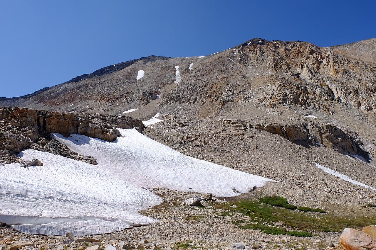
Inyo National Forest describes the trail beginning in the sage environment of the Owens Valley with a strenuous climb of more than 6,000 feet in 6.5 miles up Taboose Creek Canyon, crossing 11,350-foot Taboose Pass between Cardinal Mountain and Goodale Mountain and entering Kings Canyon National Park to join the John Muir Trail at the headwaters of the South Fork of the Kings River, south of Mather Pass.
The trail climbs Taboose Creek Canyon from the Owens Valley floor. Inyo's numbers are the whole story: more than 6,000 feet in 6.5 miles.
Over 11,350-foot Taboose Pass the trail enters Kings Canyon National Park and joins the John Muir Trail at the headwaters of the South Fork of the Kings River, south of Mather Pass. That places you deep in the JMT's best stretch with a single, brutal day of walking.
Inyo carries a standing warning for this canyon: many hazards remain in this area from the 2019 wildfire including potential rock fall, and hikers should beware of unstable terrain especially during rain events or snow melt. The trail is not recommended for stock.
Nothing on the east side is steeper for as long. You start in sagebrush at desert temperature and finish in alpine tundra on the same day, watching several biologic zones go past in a few hours of relentless climbing.
Required and recommended gear for Taboose Pass (JMT)
Trailhead transportation options
Browse all shuttlesExperienced wilderness guides
Browse all guidesSome links may be affiliate links. Purchases support PermitSnag at no extra cost to you.
On the Owens Valley floor in sage. No shade.
Inyo's distance and elevation. Between Cardinal Mountain and Goodale Mountain.
Where the trail joins the John Muir Trail, south of Mather Pass.
Inyo National Forest describes a strenuous climb of more than 6,000 feet in 6.5 miles up Taboose Creek Canyon to the 11,350-foot pass.
Inyo warns that many hazards remain in this area from the 2019 wildfire, including potential rock fall, and asks hikers to beware of unstable terrain especially during rain events or snow melt.
Inyo says it enters Kings Canyon National Park and joins the John Muir Trail at the headwaters of the South Fork of the Kings River, south of Mather Pass.
Inyo states this trail is not recommended for stock.
No active conditions reported
Sign in to report trail conditions.
No questions yet
Be the first to ask about Taboose Pass (JMT).
No trip reports yet
Be the first to share your experience at Taboose Pass (JMT).
Write the First ReportFirst light on the Owens Valley from partway up the canyon, with the White Mountains opposite.
Late afternoon from the pass looking west toward the Kings River headwaters.
You will likely not see another party until the John Muir Trail.
Consider these alternatives if your preferred dates aren't available.
The next pass south, another huge climb from the valley floor to the Woods Creek country.
Even more climbing at more than 6,700 feet, with the same shadeless start.
A short, high-trailhead crossing to Dusy Basin and LeConte Canyon.
A fraction of the climbing, and much harder to reserve.
Another 6,000-foot eastside climb, to the Rae Lakes side of the crest.
Similar difficulty and similar emptiness, on a longer approach to the JMT.
Nearby campgrounds to complete your Taboose Pass (JMT) trip
A small favor
Google lets you pick the sites it highlights for you. Add PermitSnag and our permit pages get marked as one of yours in AI Overviews and AI Mode.
Takes less than a minute.