Reservation8/10
Inyo NF Bishop Pass (JMT) permit
Wilderness permit for entry via Bishop Pass (JMT) in Inyo National Forest. Acces...
Inyo National Forest · California
Wilderness permit for entry via Baxter Pass (JMT) in Inyo National Forest. Access to John Muir Wilderness and Ansel Adams Wilderness.
70% of the openings our scanner caught on Baxter Pass (JMT) were gone within 10 minutes.
Build your full itinerary start to finish
Add your dates and get a day-by-day plan: what needs a permit, what gear to bring, and one link to share with your whole group to coordinate every step.
No permit needed to start
The quota season runs May 1 to November 1. Late July through September is when the pass is reliably clear of snow and the creek crossings have dropped. Early season means snow at 12,000 feet on a slope with no easy escape.
Trailhead (5,000 ft)
Backcountry Tips
Today
75°
49°
Sun
70°
50°
Mon
79°
51°
Tue
85°
50°
Wed
95°
51°
Thu
95°
59°
Fri
93°
55°
Find this permit on the managing agency's booking system and set up an account with your payment info ready.
Permits typically release on a rolling basis. Check the specific release time for your desired dates.
Log in a few minutes early. Have your dates, group size, and payment ready to go.
If your dates are sold out, people cancel all the time. Set up PermitSnag alerts to catch openings instantly.
Hot on the climb, clear at the pass by late July, thunderstorms most afternoons.
Fitness and endurance required
Climbing, scrambling, or specialized skills
Steep dropoffs and fall potential
Route finding and trail clarity
Difficulty of bailing out mid-route
Fit, acclimatized backpackers who want a JMT connection or a Rae Lakes trip and are willing to take the hardest door in.
Prior high-altitude backpacking and at least one long, sustained climb with a full load.
Anyone who has not climbed 5,000 feet in a day with a pack, parties with stock, or first trips at altitude.
Baxter Pass is an Inyo National Forest wilderness entry point on the east side of the Sierra crest, giving access to the John Muir Wilderness and, over the top, to Kings Canyon National Park. The permit reserves your entry trailhead and your entry date.
Inyo runs a quota season from May 1 to November 1 in 2026, when the number of people per day is limited. Reservations open six months ahead at 7 am Pacific, and additional permits are released two weeks in advance. From November 2 to April 30 the trailhead is non-quota, with permits bookable up to two weeks ahead and no daily people limit.
This is a hard entry point. Inyo describes it as steep and rugged, with more than 6,000 feet of climbing to the crest, and asks hikers to start early. The reward is a trailhead that rarely sells out.
Inyo National Forest describes Baxter Pass bluntly: the trail is steep and rugged, starting near Oak Creek and climbing more than 6,000 feet to the Sierra Crest at Baxter Pass. It is one of the hardest ways over the crest and one of the least contested. For a JMT resupply exit or a back door into the Rae Lakes country, it trades sweat for permit odds.
The trailhead sits near Oak Creek west of Independence. Inyo puts the top of the pass at approximately eight miles and the John Muir Trail junction at a total of 13 miles.
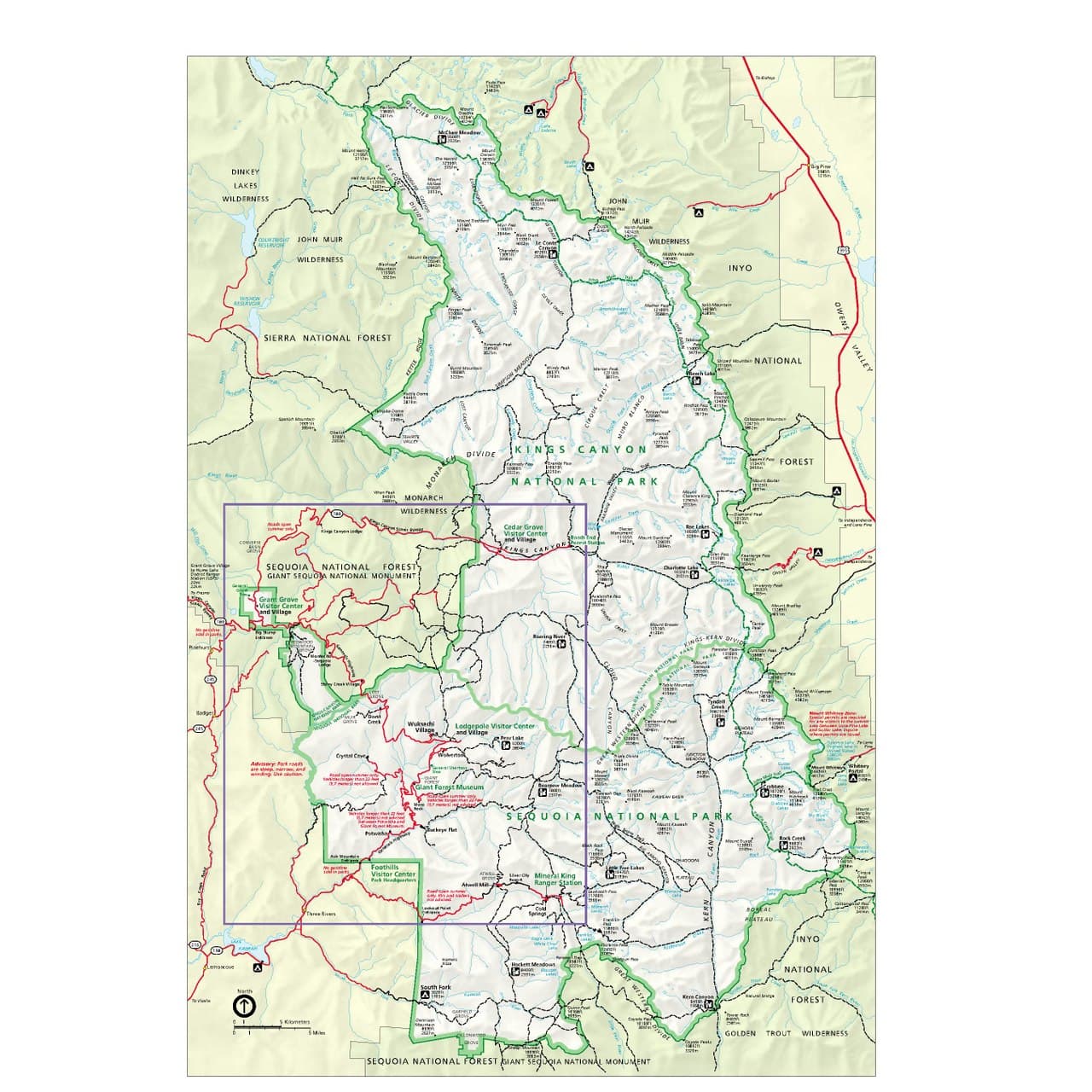
Inyo warns that it pays to start early in the day for this high elevation pass. Over the top the trail drops into Kings Canyon National Park, and the park's camping limits take over immediately: no camping at Bullfrog Lake, a two-night camping limit at Charlotte or Kearsarge Lakes, and in the Rae Lakes area a one-night camping limit per lake from Glen Pass to Dollar Lake.
Inyo also notes a smaller group size limit applies to hikers visiting 60 Lakes or Gardiner Basin, and that the trail is not recommended for stock.
The lower canyon is hot, dry and east-facing, so the sun hits you at first light and does not let go. The trail is relentless. Then the crest arrives and the whole Kings Canyon backcountry drops away west in one view, and you understand why the few people who do this route keep coming back.
Required and recommended gear for Baxter Pass (JMT)
Trailhead transportation options
Browse all shuttlesExperienced wilderness guides
Browse all guidesSome links may be affiliate links. Purchases support PermitSnag at no extra cost to you.
Start of the climb, west of Independence.
Inyo's mileage to the top of the pass, where the trail crosses into Kings Canyon National Park.
Inyo's total mileage from the trailhead to the JMT.
One-night camping limit per lake from Glen Pass to Dollar Lake, per the permit conditions.
Inyo National Forest calls it steep and rugged, with more than 6,000 feet of climbing from near Oak Creek to the crest, and advises starting early in the day. The pass is about eight miles from the trailhead.
Inyo puts it at 13 miles total from the trailhead to the John Muir Trail junction, of which roughly the first eight climb to the pass.
Food and refuse must be stored in a container designed to prevent access by bears, or counter-balanced at least 15 feet above the ground and 10 feet horizontally from a tree trunk where containers are not required. Once you cross into Kings Canyon, park rules apply as well.
Inyo's quota season runs May 1 to November 1 in 2026. Reservations open six months in advance at 7 am Pacific, and additional permits become available two weeks in advance. Outside the quota season permits are non-quota and bookable two weeks ahead.
No active conditions reported
Sign in to report trail conditions.
No questions yet
Be the first to ask about Baxter Pass (JMT).
First light on the Sierra crest from the lower switchbacks, looking straight into the sun over the Owens Valley.
Late afternoon from the pass looking west into Kings Canyon, when the ranges stack up in layers.
There is nothing to avoid on the climb. The people appear once you hit the John Muir Trail at mile 13.
Consider these alternatives if your preferred dates aren't available.
The standard eastside crossing into the Rae Lakes and Bullfrog country from Onion Valley.
Far less climbing and a much shorter approach to the JMT, but the most competitive Inyo trailhead there is.
The next eastside pass north, another long dry climb to the crest and the JMT.
Similar difficulty and similar solitude, with a different set of lakes on the west side.
A 6,000-foot climb from Symmes Creek to a 12,000-foot pass and the Tyndall Creek JMT junction.
Every bit as demanding, and it lands you further south near the Whitney approach.
Nearby campgrounds to complete your Baxter Pass (JMT) trip
A small favor
Google lets you pick the sites it highlights for you. Add PermitSnag and our permit pages get marked as one of yours in AI Overviews and AI Mode.
Takes less than a minute.