Trailhead information
Interstate State Park (Western Terminus)
Primary- No restrooms
- No water
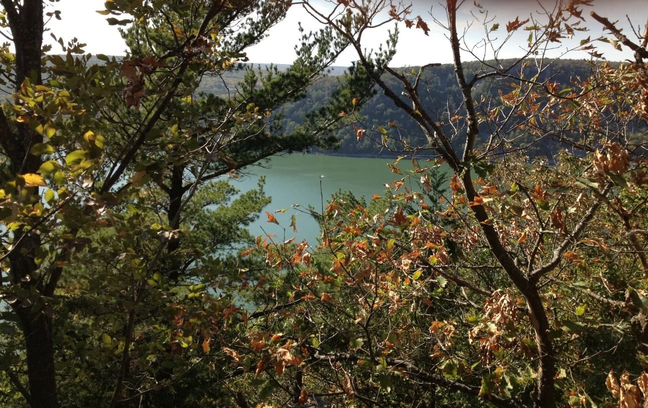
Ice Age National Scenic Trail Thru-Hike Permit · Wisconsin
About 1,200 miles across Wisconsin tracing the edge of the last continental ice sheet, from Interstate State Park on the Minnesota border to Potawatomi State Park on Lake Michigan. No single permit covers the trail; most campsites need no reservation at all.
“About 1,200 miles across Wisconsin tracing the edge of the last continental ice sheet, from the Minnesota border to Lake Michigan.”
Plan your Ice Age National Scenic Trail Thru-Hike Permit trip here, then get your permit from the agency.
Walk-up permit
No single Ice Age Trail permit exists. Dispersed camping areas for long-distance hikers need no reservation, though some primitive camping areas and backpacking shelters do.
More about Ice Age National Scenic Trail Thru-Hike PermitPlanning another trip? See the permits we alert on.
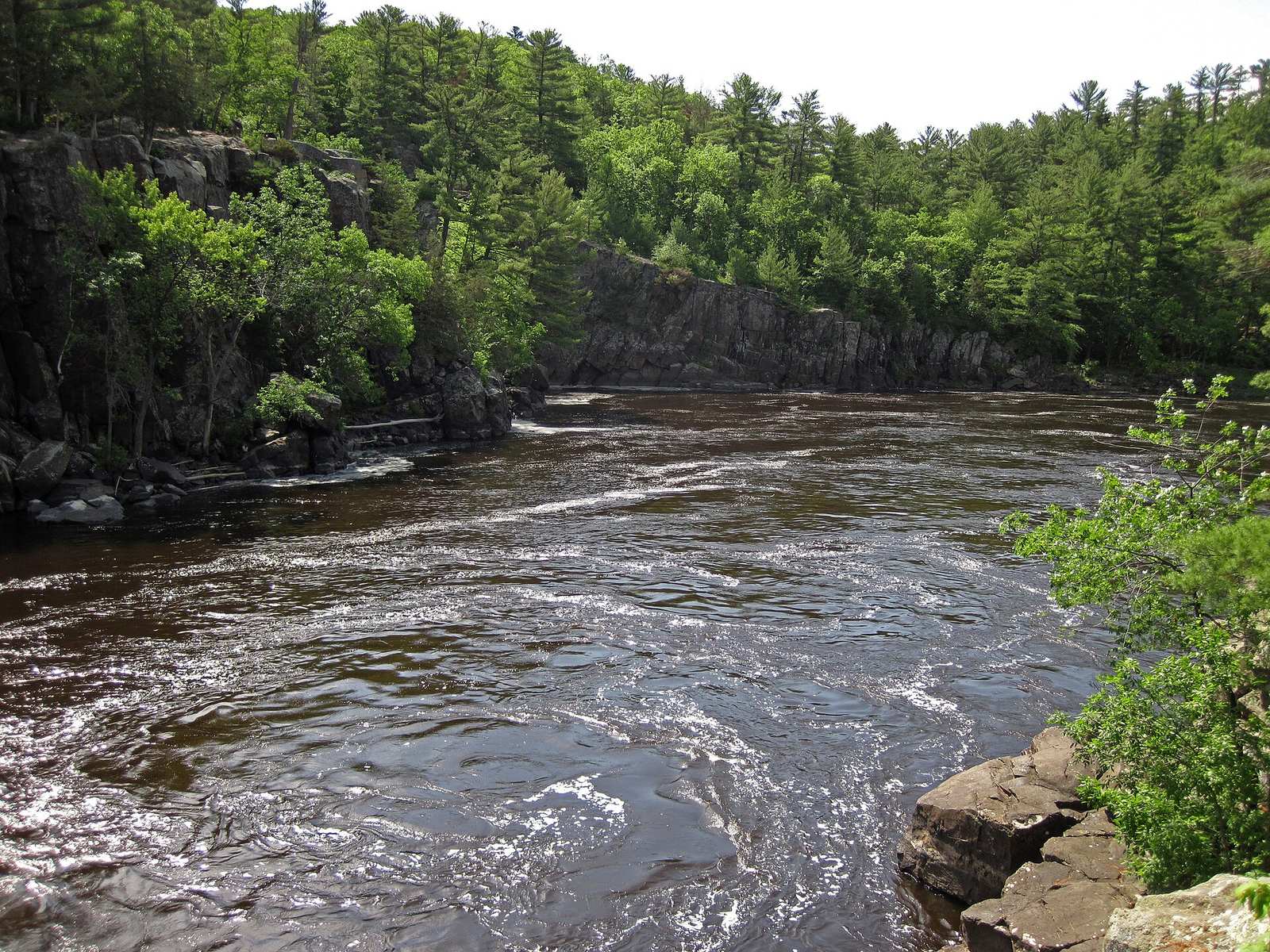
Interstate State Park (Western Terminus)
Western terminus on the St. Croix River, on the Minnesota border.
As of September 2026, the managing agency does not require a permit for Ice Age Trail in Ice Age National Scenic Trail Thru-Hike Permit, Wisconsin. Ice Age Trail rates 3/10 on PermitSnag's demand index. The Ice Age Trail route covers 1200 miles.
More on Ice Age Trail: Live availability activityIce Age National Scenic Trail Thru-Hike permit itinerary
Ice Age Trail permit fee: Free to hike; some campgrounds along the route charge fees.
About 1,200 miles across Wisconsin tracing the edge of the last continental ice sheet, from the Minnesota border to Lake Michigan.
About 1,200 miles across Wisconsin tracing the edge of the last continental ice sheet, from Interstate State Park on the Minnesota border to Potawatomi State Park on Lake Michigan. No single permit covers the trail; most campsites need no reservation at all.
From Interstate State Park (Western Terminus), the route passes Straight Lake State Park, Chippewa Moraine State Recreation Area, Blue Hills Felsenmeer, Harwood Lake segment, McKenzie Creek segment, before finishing at Potawatomi State Park (Eastern Terminus).
The trail follows the terminal moraine the last glaciation left behind, so it passes some of the best-preserved glacial landforms in North America: kettles and moraines the Ice Age Trail Alliance built the route specifically to showcase.
Best for: Experienced hikers with excellent fitness and relevant technical skills.
Recommended experience: Should have completed 10+ mile day hikes with significant elevation gain.
Trailhead information
Trailhead (5,000 ft)
Backcountry Tips
Today
68°
60°
Mon
72°
55°
Tue
66°
57°
64%
Wed
67°
59°
36%
Thu
65°
46°
Fri
62°
39°
Sat
61°
43°
Emergency contacts, ranger station locations, and satellite communicator tips for Ice Age Trail.
Bear canister requirements, approved container lists, and rental locations for this permit.
Gear Checklist: Required and recommended gear for Ice Age Trail · Shuttle Services: Trailhead transportation options · Guide Services: Experienced wilderness guides
Some links may be affiliate links. Purchases support PermitSnag at no extra cost to you.
No. Dispersed Camping Areas set up for long-distance hikers need no reservation or permit at all. The one exception is backpacking shelters, which the National Park Service says must be reserved in advance, and some primitive camping areas that may require a permit depending on who manages that stretch.
The Ice Age Trail Alliance's own figure is about 1,200 miles total: roughly 700 miles of yellow-blazed dedicated trail plus about 500 miles of unmarked connecting routes on roads and other paths.
The western terminus is Interstate State Park in St. Croix Falls, on the Minnesota border. The eastern terminus is Potawatomi State Park in Sturgeon Bay, on the shore of Lake Michigan.
Not anywhere you like. Long-distance hikers can use designated Dispersed Camping Areas without a permit, but you have to camp within sight of the DCA sign, keep your group to six people or fewer, stay one night only, and skip fires except a backpacking stove. These DCAs are not open to single-night out-and-back hikers.
Five separate Kettle Moraine State Forest units the trail passes through: the Northern, Southern, Lapham Peak, Loew Lake, and Pike Lake units, all named by the Wisconsin DNR as part of the route.
30, according to the Ice Age Trail Alliance.
On land the Alliance calls SIATA (Segments in Active Trail Acquisition), no hunting or trapping is allowed within 100 yards of the trail. Elsewhere, check the local land manager, since hunting seasons are active on many of the public lands the trail crosses.
No active conditions reported
Sign in to report trail conditions.
No questions yet
Be the first to ask about Ice Age Trail.
Build your full itinerary start to finish
Add your dates and get a day-by-day plan: what needs a permit, what gear to bring, and one link to share with your whole group to coordinate every step.
No permit needed to start
Google lets you pick the sites it highlights for you. Add PermitSnag and our permit pages get marked as one of yours in AI Overviews and AI Mode.
Takes less than a minute.