Lottery7/10
Yellowstone Backcountry cancellations
Overnight backcountry camping permit for Yellowstone National Park. An early-acc...
Yellowstone National Park · Wyoming
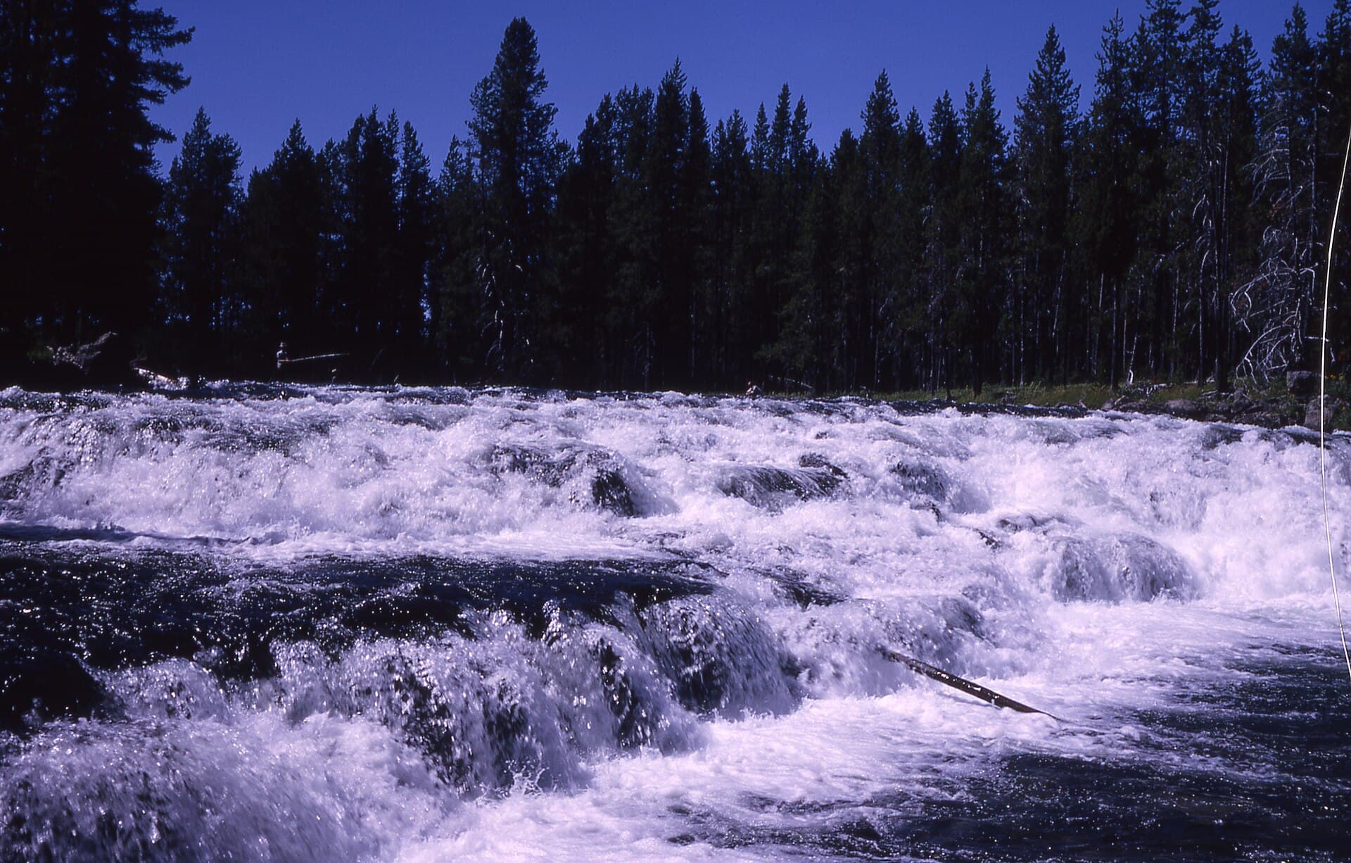
Waterfall country.
70% of the openings our scanner caught on Bechler were gone within 5 minutes.
Build your full itinerary start to finish
Add your dates and get a day-by-day plan: what needs a permit, what gear to bring, and one link to share with your whole group to coordinate every step.
No permit needed to start
Mid-July through September. The park does not recommend trips before July 10 at all, and the upper canyon may not be crossable until mid-July or later. Late August and September dry the meadows out, kill the mosquitoes and drop the water - at the cost of thinner waterfalls.
Trailhead (5,000 ft)
Backcountry Tips
Today
64°
30°
Sun
62°
40°
Mon
53°
31°
22%
Tue
62°
31°
Wed
64°
34°
Thu
69°
37°
Fri
69°
39°
Sign up at National Park Service if you don't have an account. Have your payment info ready.
Permits typically release on a rolling basis. Check the specific release time for your desired dates.
Log in a few minutes early. Have your dates, group size, and payment ready to go.
If your dates are sold out, people cancel all the time. Set up PermitSnag alerts to catch openings instantly.
Fitness and endurance required
Climbing, scrambling, or specialized skills
Steep dropoffs and fall potential
Route finding and trail clarity
Difficulty of bailing out mid-route
Backpackers who will plan around water levels and do not mind being wet and bitten for the best waterfall walking in Yellowstone.
Multi-day backpacking with real river-crossing judgement. The exposure rating is about moving water and thermal ground, not heights.
Anyone going before mid-July, and anyone uncomfortable with repeated unbridged fords in grizzly country.
The Bechler - Yellowstone's Cascade Corner - is the park's southwest waterfall country, and Recreation.gov lists it among the four high-demand areas worth entering the early access lottery for. The Bechler River Trail is a classic, strenuous roughly 30-mile one-way route starting from either the Bechler Ranger Station or Lone Star Geyser.
Campsites here are named for the falls: Colonnade Falls (9B5), Ouzel Falls (9B4), Albright Falls (9B9), Dunanda Falls (9A3), Ferris Fork (9D1). Backpacker sites take 8 people; most of the canyon sites are one-night limits, with Dunanda and Albright at two. Colonnade and Ouzel allow campfires; Dunanda does not. Stock-only sites - 9A0, 9B0, 9B3, 9M1 and 9M2 - take 12 people with up to 25 stock and are closed from December 1 to July 14.
Timing is the whole trip here. Every campsite carries the note that trips prior to July 10 are not recommended due to flooding of Bechler Meadows and high water crossings, and the upper-canyon sites add that the Bechler River south of 9B7 may be too deep and swift to cross until mid-July or later. Separately, the park says the fording of Fall River near the Cave Falls Trailhead is wide and dangerous, and not recommended.
As of the park's 2026 reports: Bechler Meadows was dry except for the perpetually muddy patches on July 28; the Bechler River Trail was cleared on July 5; the Bechler Canyon trail was in good condition on July 28 with crossings about 24 inches deep and bad mosquitoes at night as of July 6; and on August 7 the food pole at campsite 9A6 was down and not available, making an approved hard-sided bear-resistant container required there.
Everything else is the park-wide backcountry permit: $5 per person per night plus a $10 reservation fee, a March early access lottery costing a separate non-refundable $10, and in-person pickup at a backcountry office up to two days before your trip. There is no Bear Management Area covering the Bechler - the park's published BMA table has none here.
The Bechler is the wettest, greenest, least-visited corner of Yellowstone, and Recreation.gov names it as one of four high-demand areas worth entering the lottery for. It is also the corner with the hardest timing constraint in the park: the campsites carry a standing note that trips prior to July 10 are not recommended due to flooding of Bechler Meadows and high water crossings.
The park describes the Bechler River Trail as a classic, strenuous roughly 30-mile one-way backpacking trail in the southwest part of the park that leads past waterfalls and hydrothermal features, starting at either the Bechler Ranger Station or at Lone Star Geyser. Around it: the Boundary Creek Trail at 17.2 miles one way, the Bechler River Cutoff at 1.6, and the Robinson Creek Trail at 9.1.
The water is what governs the schedule. Every campsite in the district carries the note that trips prior to July 10 are not recommended due to flooding of Bechler Meadows and high water crossings, and the upper-canyon sites - 9B7, 9B8, 9D1, 9D2, 9D3, 9D4 and 9B9 - carry a second one: the Bechler River south of 9B7 may be too deep and swift to cross until mid-July or later. Separately, and with no date attached, the park says the fording of Fall River near the Cave Falls Trailhead is wide and dangerous, and not recommended.
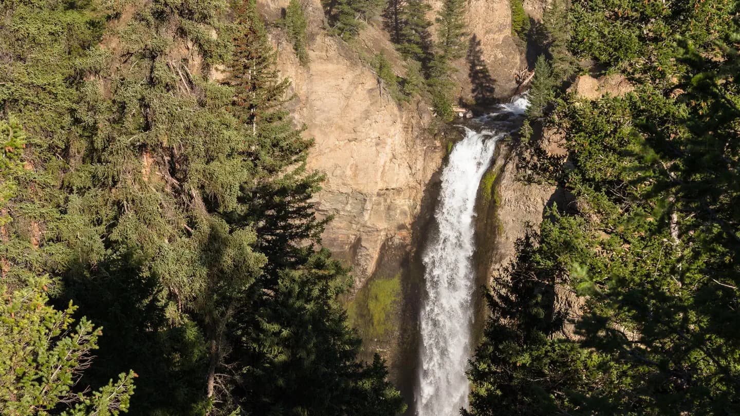
Meadow, then forest, then a waterfall every mile or two, with hot springs seeping into the river in places you can actually sit in. The mosquitoes in early July are legendary and the park's own site notes say so.
NPS trailhead 9K1 in the Bechler Area, and the standard start for the Bechler River Trail, which NPS calls a classic, strenuous roughly 30-mile one-way route past waterfalls and hydrothermal features.
Along the Cave Falls Road, just north of the southern park boundary.
NPS lists two amenities here, an information kiosk or bulletin board and the trailhead. No toilet. Bechler is one of the park's seven backcountry permit offices.
NPS trailhead 9K2, Bechler Area. The other end of the Bechler River Trail and the South Boundary Trail.
Along the Cave Falls Road, just north of the southern park boundary.
NPS says the fording of Fall River near the Cave Falls Trailhead is wide and dangerous, and not recommended.
The closest trailheads to the Union Falls area are in Caribou-Targhee National Forest, off the Grassy Lake Road.
Recreation.gov calls the Grassy Lake Road a primitive dirt road that may not be passable to low clearance vehicles. It is closed to motorized vehicle access April 1 through May 31, is not plowed, and is often inaccessible until later in June.
Required and recommended gear for Bechler
Trailhead transportation options
Browse all shuttlesExperienced wilderness guides
Browse all guidesSome links may be affiliate links. Purchases support PermitSnag at no extra cost to you.
One of the two ends of the trail, on Cave Falls Road just north of the park's southern boundary.
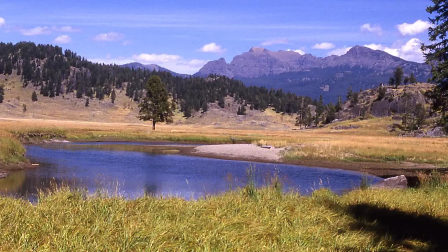
The open ground the whole schedule is built around. It floods, which is why the park does not recommend trips before July 10. As of 2026-07-28 the park reported it dry except for the perpetually muddy patches.
Campsite 9B5, an 8-person, one-night site where campfires are allowed.
Campsite 9B4, 8 people, one night, campfires allowed.
Campsite 9A3, 8 people, two nights, no campfires. The park reported the Bechler Creek Trail to Dunanda Falls cleared on 2026-06-19.
Campsite 9D1, 8 people, one night, no stock. Carries both the July 10 and the mid-July crossing warnings.
Not before July 10, by the park's own guidance - every campsite in the district carries a note that trips prior to July 10 are not recommended due to flooding of Bechler Meadows and high water crossings. The upper canyon sites add that the Bechler River south of campsite 9B7 may be too deep and swift to cross until mid-July or later.
Yes. A Yellowstone backcountry permit is required year-round and names your specific campsite and dates. It costs $5 per person per night plus a $10 reservation fee. Recreation.gov lists the Bechler area as one of the park's high-demand areas, so the March early access lottery is worth entering.
The park calls it a classic, strenuous roughly 30-mile one-way backpacking trail, starting at either the Bechler Ranger Station or Lone Star Geyser. Nearby it publishes the Boundary Creek Trail at 17.2 miles one way, the Bechler River Cutoff at 1.6 miles and the Robinson Creek Trail at 9.1.
Several, and they set the schedule. The park's July 6, 2026 note put the crossings at about 24 inches deep. Before mid-July the river south of campsite 9B7 may be too deep and swift to cross at all. Separately, the Fall River ford near the Cave Falls Trailhead is described by the park as wide and dangerous and is not recommended.
At some. Colonnade Falls (9B5) and Ouzel Falls (9B4) allow campfires; Dunanda Falls (9A3) does not. Check the individual site listing on your permit - it varies site by site rather than by district.
Eight at the backpacker sites, including Ferris Fork, Colonnade Falls, Ouzel Falls, Dunanda Falls and Albright Falls. The stock-only sites take 12 people with up to 25 head of stock, and are closed from December 1 to July 14.
No active conditions reported
Sign in to report trail conditions.
No questions yet
Be the first to ask about Bechler.
The falls hold soft light long after the meadows have gone harsh - shoot Colonnade and Ouzel late in the afternoon.
Overcast. Waterfalls in flat light hold detail that midday sun blows out entirely.
Cascade Corner is the least-visited part of Yellowstone. The day-use pressure at Cave Falls is the only crowd, and it ends within a mile.
Consider these alternatives if your preferred dates aren't available.
The park's second largest lake, with no road to it and no motors on it, reachable on foot or by paddle.
Also a high-demand district, but with a longer season - typically ice free in early June rather than gated to July 10.
The park-wide permit covering all 293 designated backcountry campsites.
Same fees and lottery; a much wider choice if the Bechler sites do not come up, and no July 10 constraint elsewhere.
Olympic National Park's waterfall-walled meadow, 13 miles up the East Fork Quinault.
The other great waterfall backpack in the system. Fewer crossings, no bear spray needed, but bear canisters are required and it has its own washout.
Nearby campgrounds to complete your Bechler trip
A small favor
Google lets you pick the sites it highlights for you. Add PermitSnag and our permit pages get marked as one of yours in AI Overviews and AI Mode.
Takes less than a minute.