Reservation8/10
Canyonlands Shafer cancellations
Campsite permit for Shafer on the White Rim Road in Canyonlands....
Canyonlands National Park · Utah
100-mile loop around Island in the Sky. A bucket-list 4x4 or bike adventure.
70% of the openings our scanner caught on White Rim were gone within 5 minutes.
Build your full itinerary start to finish
Add your dates and get a day-by-day plan: what needs a permit, what gear to bring, and one link to share with your whole group to coordinate every step.
No permit needed to start
Spring (March-May) and fall (September-November) offer ideal temperatures. Summer is brutally hot and not recommended. Winter is possible but cold nights and potential mud make conditions challenging.
Trailhead (3,900 ft)
Today
92°
71°
Mon
88°
68°
Tue
85°
71°
Wed
88°
69°
Thu
81°
63°
31%
Fri
85°
64°
27%
Sat
83°
63°
Sign up at Recreation.gov if you don't have an account. Have your payment info ready.
Permits typically release on a rolling basis. Check the specific release time for your desired dates.
Log in a few minutes early. Have your dates, group size, and payment ready to go.
If your dates are sold out, people cancel all the time. Set up PermitSnag alerts to catch openings instantly.
Fitness and endurance required
Climbing, scrambling, or specialized skills
Steep dropoffs and fall potential
Route finding and trail clarity
Difficulty of bailing out mid-route
Experienced mountain bikers or 4WD drivers comfortable with primitive conditions and multi-day self-support. Those who appreciate remote desert solitude.
For biking: should have multi-day bikepacking experience and be comfortable with 25+ mile days on technical terrain. For driving: 4WD experience on technical roads required.
Those who can't handle heat or carry sufficient water, inexperienced off-road drivers, casual cyclists, anyone uncomfortable with isolation.
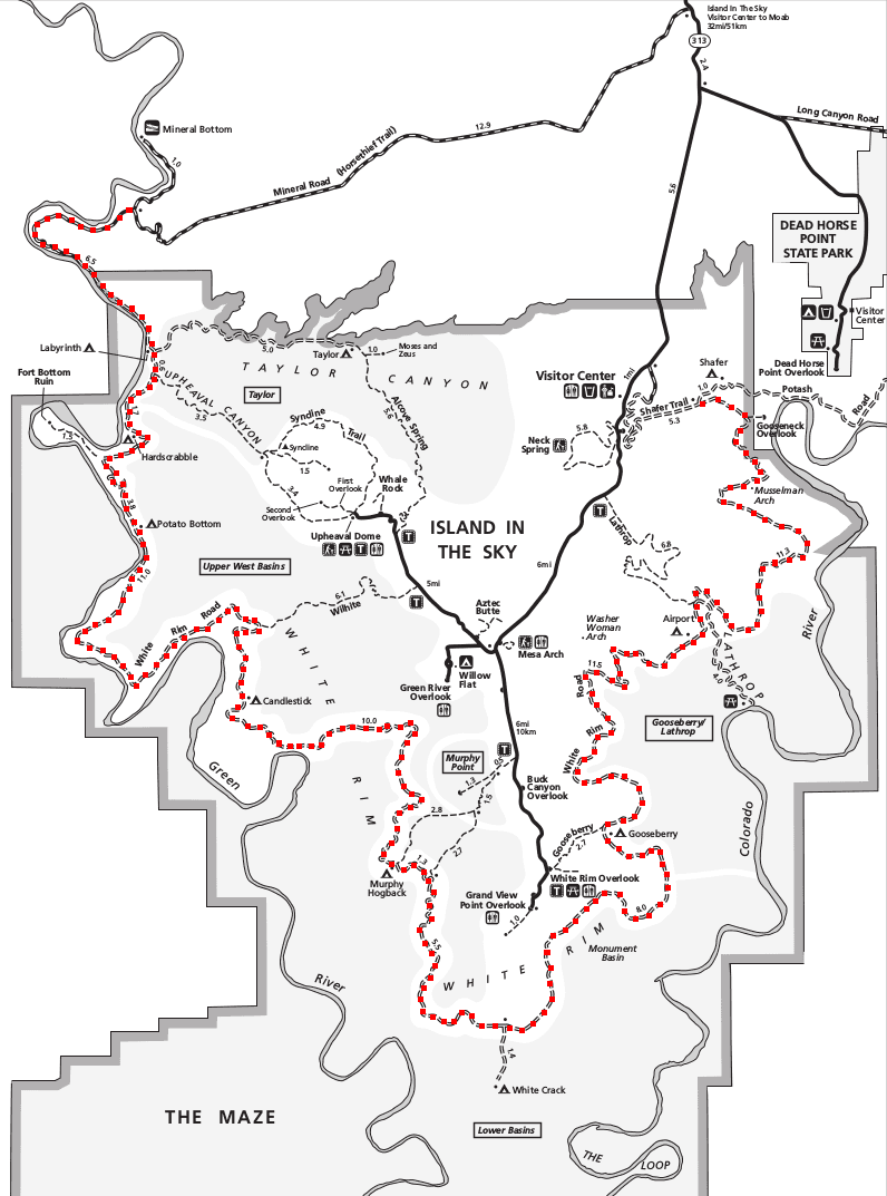
White Rim Road is a 100-mile primitive loop that circles the Island in the Sky mesa in Canyonlands National Park, following a narrow bench of white sandstone suspended between two cliff systems. The route has become legendary among mountain bikers and 4WD enthusiasts as one of the premier multi-day routes in the American Southwest.
The road passes through terrain that ranges from sandy washes to rocky technical sections, with major elevation changes at the Shafer and Mineral Bottom roads that access the rim. Primitive campsites are spaced along the route, each offering private access to some of the most expansive views in canyon country.
Day use is capped at 50 vehicles and 50 bicycles a day, and only 25 of those vehicle permits can be booked online - the other 25 are issued in person. The overnight permit works differently: NPS publishes no daily cap for it, only per-campsite limits of 15 people and 3 vehicles.
White Rim Road offers a unique perspective on Canyonlands' geology—riding or driving the bench between two cliff systems that define the Island in the Sky district. It's the ultimate Colorado Plateau road trip.
From Island in the Sky, Shafer Trail plunges 1,500 feet in a series of switchbacks to reach the White Rim. The route circles the mesa counterclockwise, passing Murphy Hogback's challenging climb, the uranium mining remnants of Potato Bottom, and countless canyon overlooks. The Green River provides a brief encounter with water before the route turns east toward the Colorado River confluence. The final ascent via Mineral Bottom (or back up Shafer) completes the circuit.
The road hugs a narrow ledge between towering red walls above and the churning Green and Colorado Rivers far below. You're suspended in space, the horizontal vastness broken only by distant buttes that look like monuments from another world. Each campsite offers private sunset shows over canyon country that extends to the horizon.
Primary access from Island in the Sky—dramatic switchback descent
Park at Island in the Sky Visitor Center or Shafer Canyon Overlook
From Moab, Highway 313 to Island in the Sky. Shafer Trail requires high-clearance 4WD.
Moab (32 miles) - full services
Northern access point via Long Canyon—alternate entry/exit
Boat ramp parking area. No fees.
From Highway 313, take Horsethief Road to Mineral Bottom. High-clearance recommended.
Moab (45 miles) - full services
Required and recommended gear for White Rim
Trailhead transportation options
Browse all shuttlesExperienced wilderness guides
Browse all guidesSome links may be affiliate links. Purchases support PermitSnag at no extra cost to you.
White Rim permits use a reservation system. PermitSnag sends lottery open, deadline, and results reminders; you can also enable cancellation alerts if spots open later.
Check with the managing agency for current season dates. Weekdays generally have better availability than weekends.
This permit has a demand score of 8/10, making it highly competitive. We recommend having backup dates and using PermitSnag's cancellation alerts.
Cancellations happen daily. Set up alerts with PermitSnag to get notified the moment a spot opens up. Pro and $19 single-permit alerts are checked about every minute, 24/7; free accounts are checked hourly.
No active conditions reported
Sign in to report trail conditions.
Sunset from any campsite offers spectacular light on the canyon walls. The Shafer Trail overlook at dawn catches first light on the La Sal Mountains.
Early morning and late afternoon create the best contrast and color saturation. Midday is harsh but works for the Green River overlooks.
Spring and fall weekends see heavy traffic. Midweek trips in shoulder season offer near-solitude. Counterclockwise direction is less common and may feel more private.
Consider these alternatives if your preferred dates aren't available.
Drive the Shafer Trail portion only—experience the dramatic switchbacks without full commitment.
Day permit easier to get. Sees the most dramatic entry but misses the remote sections.
Day hikes and scenic drives on the mesa top above White Rim.
No permit required. Same dramatic views without the multi-day commitment.
Multi-day backpacking in the southern district of Canyonlands.
On foot rather than wheels. Different scenery but similar desert wilderness feel.
Nearby campgrounds to complete your White Rim trip
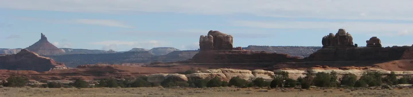 Very HardIn Demand26 sites
Canyonlands National Park
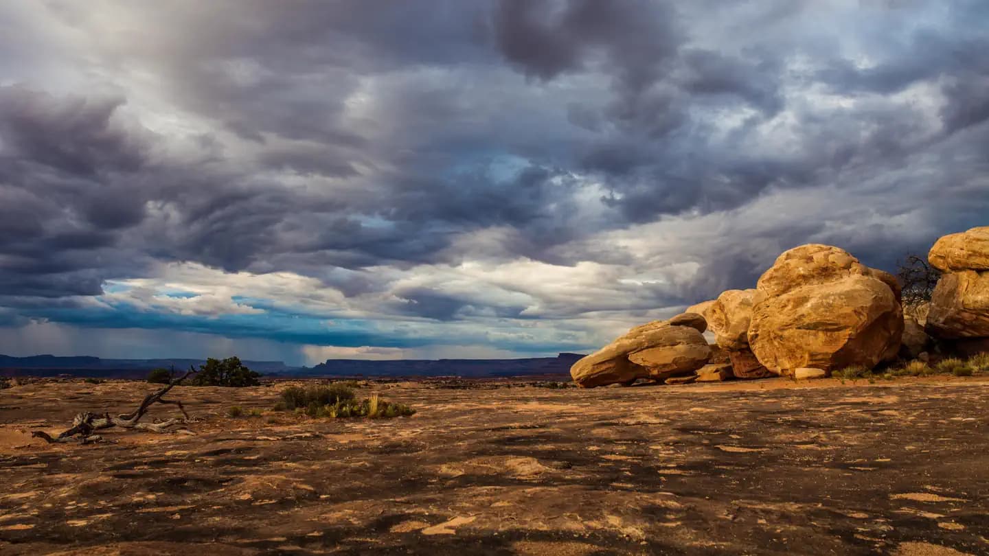 Very HardIn Demand3 sites
Canyonlands National Park
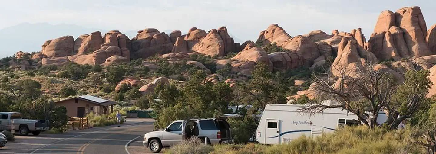 Very HardIn Demand57 sites
Arches National Park
A small favor
Google lets you pick the sites it highlights for you. Add PermitSnag and our permit pages get marked as one of yours in AI Overviews and AI Mode.
Takes less than a minute.