Lottery7/10
Rogue River permit cancellations
Oregon's premier wild river. 34 miles....
Pacific Northwest Rivers · Oregon
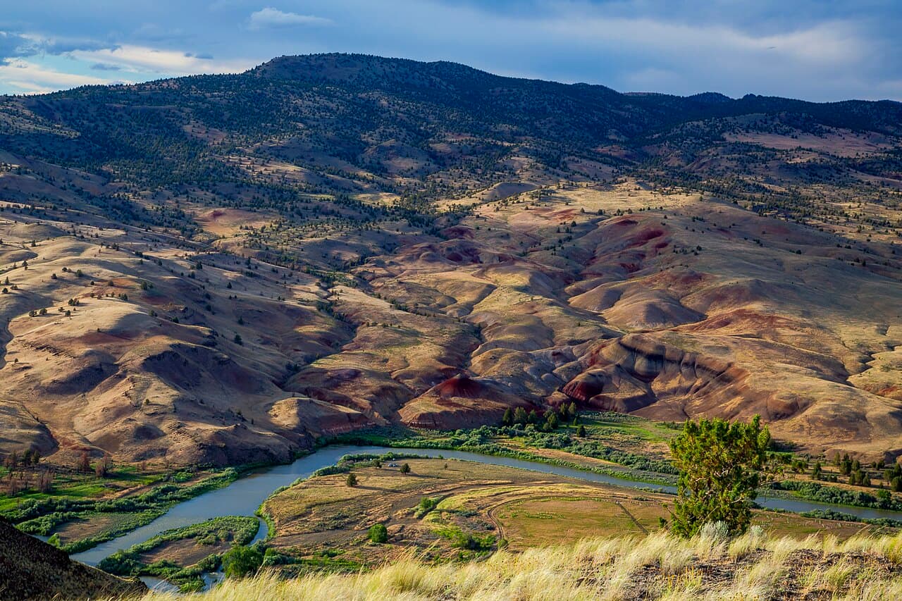
One-day float on Oregon's longest free-flowing river. You book a launch segment and a date, and the desert canyon between Service Creek and Tumwater Falls is yours for the day.
70% of the openings our scanner caught on John Day Day Use were gone within 5 minutes.
Build your full itinerary start to finish
Add your dates and get a day-by-day plan: what needs a permit, what gear to bring, and one link to share with your whole group to coordinate every step.
No permit needed to start
BLM says May through late June usually has the best flows. Fall high season on Segments 1A and 1B runs September 1 to November 30 with a much smaller group limit.
Trailhead (5,000 ft)
Backcountry Tips
Today
68°
54°
Thu
76°
54°
28%
Fri
62°
52°
99%
Sat
69°
49°
25%
Sun
74°
48°
Mon
69°
46°
Tue
74°
51°
22%
Sign up at Recreation.gov if you don't have an account. Have your payment info ready.
Permits typically release on a rolling basis. Check the specific release time for your desired dates.
Log in a few minutes early. Have your dates, group size, and payment ready to go.
If your dates are sold out, people cancel all the time. Set up PermitSnag alerts to catch openings instantly.
Fitness and endurance required
Climbing, scrambling, or specialized skills
Route finding and trail clarity
Difficulty of bailing out mid-route
Hikers of moderate fitness willing to put in the effort.
Multi-day backpacking or river experience recommended.
BLM requires an online permit year-round for boating the Wild and Scenic section of the John Day, from Service Creek down to Tumwater Falls. The day-use permit covers one group for a single day, and it is tied to the launch segment you pick. Once you have reserved it, the entry date and segment are locked.
Quota only applies in high season. BLM defines that as Service Creek to Tumwater Falls from May 1 to July 15, and Cottonwood Bridge to Tumwater Falls from September 1 to November 30. Outside those windows the permit is still required, but BLM lists the quota as unlimited.
High-season permits release on a daily rolling schedule at 7 a.m. Pacific. Half go out four months before a launch date and the other half one month before, so a date that looks full often reopens on the one-month release or when a group cancels.
Required and recommended gear for John Day Day Use
Trailhead transportation options
Browse all shuttlesExperienced wilderness guides
Browse all guidesSome links may be affiliate links. Purchases support PermitSnag at no extra cost to you.
Yes. BLM requires an online permit year-round for both day and overnight trips in the Wild and Scenic section between Service Creek and Tumwater Falls, and it is only sold on Recreation.gov.
High-season permits come out on a daily rolling release at 7 a.m. Pacific. Half of a launch date's quota opens four months ahead and the rest opens one month ahead.
Not the launch date or the segment. BLM lets you adjust group size, number of boats, and your take-out point and date before you print the permit, but the entry date and segment are fixed once reserved.
16 people. On Segments 1A and 1B between September 1 and November 30 the limit drops to 4.
No active conditions reported
Sign in to report trail conditions.
No questions yet
Be the first to ask about John Day Day Use.
Consider these alternatives if your preferred dates aren't available.
Same river and same segment system, but you camp on the bank and get up to a 14-day stay limit.
Tighter per-segment quota than day use. You carry a portable toilet either way, so the extra load is mostly food and camp gear.
Central Oregon desert river with Class II to III rapids and easier access from Bend.
Busier and closer to town. More reliable flows because it is spring fed.
Nearby campgrounds to complete your John Day Day Use trip
A small favor
Google lets you pick the sites it highlights for you. Add PermitSnag and our permit pages get marked as one of yours in AI Overviews and AI Mode.
Takes less than a minute.