Angel Island Environmental Camps: Fall Ferry-In Window Before Weather Turns
Sep 18-20, 20263 min read
P
PermitSnag Team
82 reports
4.0
Difficulty
2
Scenery
5
Angel Island is a strange one for California backpacking: you take a ferry to get to your trailhead. The environmental campsites sit about 2.5 miles in from the dock, and that hike is really the only physical effort involved. It's mostly paved or graded fire road, with some elevation gain as you climb away from the water, but nothing that requires trekking poles or a fitness plan.
The permit itself runs through the State Parks reservation system, not a lottery. That means no application window to track, no draw dates to circle on the calendar. You book a site directly, and availability just depends on how far out other people have already grabbed the good dates. Fall weekdays are your best shot at getting a pick of sites rather than whatever's left.
Water is the thing people mess up most. There's no listed water source at the environmental campsites, which means every drop you drink or cook with has to come off the ferry with you. Don't count on finding a spigot partway up the hike and don't assume the visitor center water fountain covers you for two days. Pack in more than you think you'll drink, especially if you're cooking dinner and breakfast at camp.
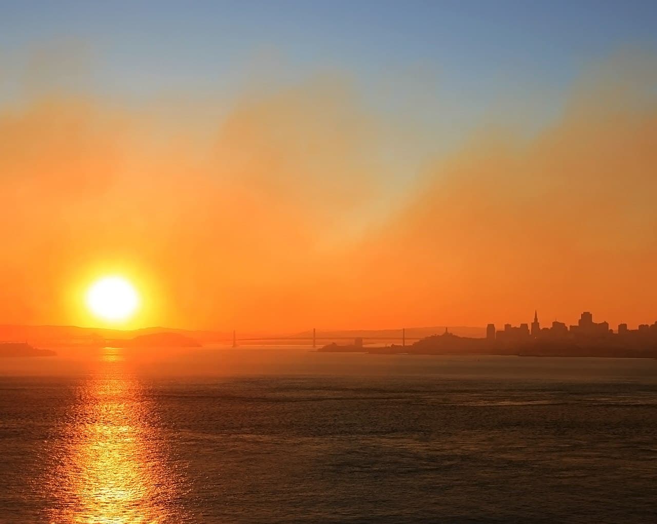
Fall on the island tends to bring the clearest air of the year in the Bay Area, since the summer fog pattern starts to break up and the wind eases off some afternoons. That said, evenings still cool down fast once the sun drops behind Mount Tam, and the exposed grassy slopes around the campsites catch whatever breeze is moving through the Golden Gate. Layers matter more than raw cold-weather gear here.
Itinerary-wise, most people treat this as a one-night trip: catch a morning or midday ferry, hike in and set up camp, spend the afternoon looping the island's perimeter road or hitting the old Battery or Mount Livermore, then catch an afternoon ferry out the next day. The island is small enough that you're not covering big miles, so don't over-plan the hiking and under-plan the ferry schedule instead. Missing your return boat means an unplanned extra night, and there's no guarantee a site's available for it.
The common mistakes: showing up without confirming the ferry departure point (there are multiple embarkation cities depending on the season), forgetting that campsite reservations and ferry tickets are two separate bookings you have to make on two separate systems, and underestimating how exposed the sites are to wind coming off the water. None of these are hard problems if you plan for them a week out instead of the morning of.
This isn't a wilderness trip in the usual sense, but it delivers real bay views, real quiet once the day-trippers leave on the last ferry, and a genuinely different camping experience than anything else within reach of San Francisco.
— Compiled by the PermitSnag team from agency info, ranger updates, and public trip logs.
Conditions at Time of Trip
Sep 2026Weather
Mild, clear fall days; wind picks up in late afternoon and after sunset
Trail
Graded fire road and pavement, minor elevation gain, no technical footing
Water
No water source at environmental campsites; carry all water in
Crowds
Moderate
💡Tips from the Trip
💡
General
- •Book the ferry and the campsite as two separate reservations, not one bundled transaction
- •Confirm which mainland city your ferry departs from before the day of your trip
- •Carry all your water in since there's no source listed at the environmental sites
- •Pack a windbreaker even on a warm forecast day, the campsite slopes catch bay wind
- •Weekday nights open up far more site choices than weekend dates this time of year
- •Build slack into your return timing so a missed ferry doesn't turn into an unplanned night
Was this helpful?