Reservation8/10
Kayak-Accessible Group Campsite cancellations
Group campsite accessible by kayak....
Limited hike-in campsites requiring ferry + 2.5 mile hike.
Other permits in Angel Island State Park we can watch
“Ten campsites on an island in San Francisco Bay you can only reach by ferry - then carry your gear up to two miles, some of it uphill.”
There is no single Angel Island environmental campsite reservation. ReserveCalifornia splits the nine sites across four separate camps — East Bay (sites 1-3), Ridge (sites 4-6), Sunrise (sites 7-9) and West Garrison (site 10 and the kayak site) — and you book a site in one of them, so there is no one calendar covering the environmental sites for us to watch. Live check of the ReserveCalifornia catalogue on 2026-09-10 confirmed all four. The kayak-accessible group site has its own page here. We link the park booking page so you can pick the camp you want.
More about Angel Island State ParkPlanning another trip? See the permits we watch.
There is no single Angel Island environmental campsite reservation. ReserveCalifornia splits the nine sites across four separate camps — East Bay (sites 1-3), Ridge (sites 4-6), Sunrise (sites 7-9) and West Garrison (site 10 and the kayak site) — and you book a site in one of them, so there is no one calendar covering the environmental sites for us to watch. Live check of the ReserveCalifornia catalogue on 2026-09-10 confirmed all four. The kayak-accessible group site has its own page here. We link the park booking page so you can pick the camp you want.
More about Angel Island State ParkPlanning another trip? See the permits we watch.
Build your full itinerary start to finish
Add your dates and get a day-by-day plan: what needs a permit, what gear to bring, and one link to share with your whole group to coordinate every step.
No permit needed to start
September and October are the Bay Area's clear months - the summer fog that hides the Golden Gate Bridge from the Ridge sites finally lifts. Summer looks appealing on paper and often delivers fog and hard wind. Winter has the best availability but the thinnest ferry service, so confirm the schedule before you commit.
Trailhead (5,000 ft)
Today
78°
47°
Sun
70°
44°
Mon
81°
43°
Tue
87°
47°
Wed
89°
50°
Thu
91°
52°
Fri
90°
54°
Find this permit on the managing agency's booking system and set up an account with your payment info ready.
Permits typically release on a rolling basis. Check the specific release time for your desired dates.
Log in a few minutes early. Have your dates, group size, and payment ready to go.
Green hillsides and wildflowers across the island, with wind picking up through the afternoon.
Fitness and endurance required
Climbing, scrambling, or specialized skills
Steep dropoffs and fall potential
Route finding and trail clarity
Difficulty of bailing out mid-route
Campers who can carry everything they need up to two miles uphill and who like the idea of a ferry schedule as their only exit. The trails are well signed and short - the weight on your back is the whole challenge.
Basic backpacking fitness. If you have carried a loaded pack two miles, you have done the hard part.
Anyone bringing a dog, since only service animals are allowed. Also anyone who cannot manage a two-mile uphill carry, or who needs to leave on their own schedule.
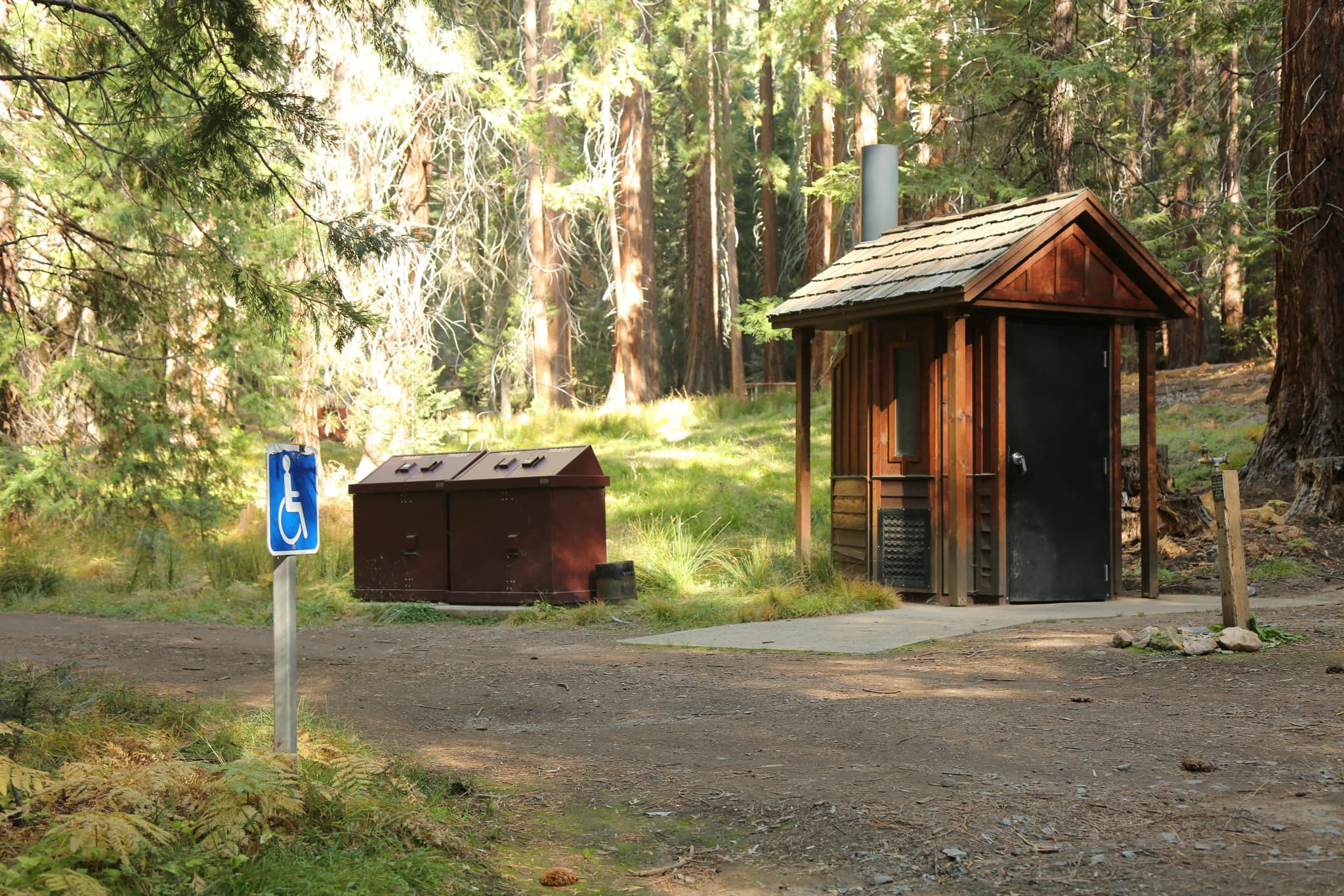
Angel Island's environmental campsites are the only legal way to spend a night on the largest natural island in San Francisco Bay. There are four camping areas - East Bay (sites 1-3), Ridge (sites 4-6), Sunrise (sites 7-9), and the West Garrison side with site 10 and the Kayak Camp. Each campsite has a table, food locker, running water, pit toilet and barbecue.
Getting there is the part people underestimate. Angel Island has no roads or bridges from the mainland - you arrive by public ferry from Tiburon or San Francisco, or by private boat. From the dock, campers carry their equipment 1.5 to 2 miles, some of it uphill. Charcoal grills or camp stoves are permitted; wood fires are not allowed anywhere on the island.
Reservations open six months in advance through ReserveCalifornia and, in the park's own words, are booked quickly. Site 10 is the island's only ADA-accessible campsite. Only service animals are allowed on Angel Island - no pets. The island has 13 miles of trails and roadways for hikers and 9 miles open to cyclists, with foot trails and Mount Livermore closed to bikes.
There is nowhere else in the Bay Area where you can watch the lights of San Francisco come on from your own campsite. Angel Island has no roads or bridges to the mainland, so the last ferry leaves and the island belongs to ten campsites' worth of people. Ten sites for the entire Bay Area is why these go the day the six-month window opens.
Everything starts at the ferry landing at Ayala Cove, from Tiburon or San Francisco. There are four environmental camping areas and the carry is 1.5 to 2 miles from the dock, some of it uphill. East Bay holds sites 1-3 on the island's east side, generally protected from wind. The Ridge sites, 4-6, are more exposed and pay for it with views of the Golden Gate Bridge and San Francisco. Sunrise sites 7-9 sit on the east side too and can be booked individually or combined as a group camp for up to 24 people. Over on the west side near a small beach is the Kayak Camp, which takes groups up to 20 - and site 10, the island's only ADA-accessible campsite, near the Point Stuart Loop. Once you are set up, Mount Livermore at 788 feet is a 4-mile round trip with 140 trail stairs on the North Ridge Trail, and the historic sites - Camp Reynolds a mile west, the Immigration Station a mile north, Fort McDowell two miles - fill a day easily.
The ferry pulls away and the noise goes with it. You shoulder your pack at Ayala Cove and climb - a mile and a half to two miles depending on which camp you drew - and then the Golden Gate Bridge is right there across the water. Wind is the constant: the Ridge sites are exposed and get the view, the East Bay sites are tucked out of it. No wood fires are allowed anywhere on the island, so dinner is charcoal or a camp stove.
The island's only public arrival point, served by ferry from Tiburon and San Francisco. Visitor center and cafe here; every campsite is a 1.5 to 2-mile carry from this dock.
No vehicles on the island. Park at the mainland ferry terminal in Tiburon or San Francisco.
Angel Island has no roads or bridges from the mainland. Public ferry or private boat only, and the ferries do not wait.
The cafe by the ferry landing is the only place on the island that sells food.
Generally protected from wind, on the island's east side.
More exposed than the other camps, with views of the Golden Gate Bridge and San Francisco.
Bookable individually or combined as a group camp for up to 24 people.
West side near a small beach. Site 10 is the island's only ADA-accessible campsite; the Kayak Camp accommodates groups up to 20.
Required and recommended gear for Env Sites
Trailhead transportation options
Browse all shuttlesExperienced wilderness guides
Browse all guidesSome links may be affiliate links. Purchases support PermitSnag at no extra cost to you.
Where every trip starts and ends; visitor center, cafe and the only dock service on the island
Generally protected from wind, on the island's east side
More exposed, with views of the Golden Gate Bridge and San Francisco
Bookable individually or combined as a group camp for up to 24 people
West Garrison side near a small beach; site 10 is the island's only ADA-accessible campsite and the Kayak Camp holds groups up to 20
The island high point - a 4-mile round trip from the dock with 140 trail stairs on the North Ridge Trail
A 1-mile hike northwest; the Detention Barracks Museum holds nearly 200 Chinese poems carved into the walls, $5 entry
Civil War site a mile west of the ferry landing
Emergency contacts, ranger station locations, and satellite communicator tips for Env Sites.
Bear canister requirements, approved container lists, and rental locations for this permit.
Ten individual environmental campsites across four camping areas - East Bay (1-3), Ridge (4-6), Sunrise (7-9) and site 10 on the West Garrison side - plus a Kayak Camp that accommodates groups up to 20.
California State Parks says sites are a 1.5 to 2-mile hike from the dock, some uphill, and that campers must carry their equipment up to two miles.
By public ferry from Tiburon or San Francisco, or by private boat. There are no roads or bridges from the mainland, and there is limited weekday ferry service in winter.
Six months, through ReserveCalifornia. The park notes reservations are booked quickly.
A table, food locker, running water, pit toilet and barbecue. Charcoal grills or camp stoves are permitted; wood fires are not allowed anywhere on the island.
No. Only service animals are allowed on Angel Island.
The Ridge sites (4-6) are the more exposed camps and offer views of the Golden Gate Bridge and San Francisco. The East Bay sites (1-3) trade the view for wind protection.
Site 10 is the island's only ADA-accessible campsite.
No active conditions reported
Sign in to report trail conditions.
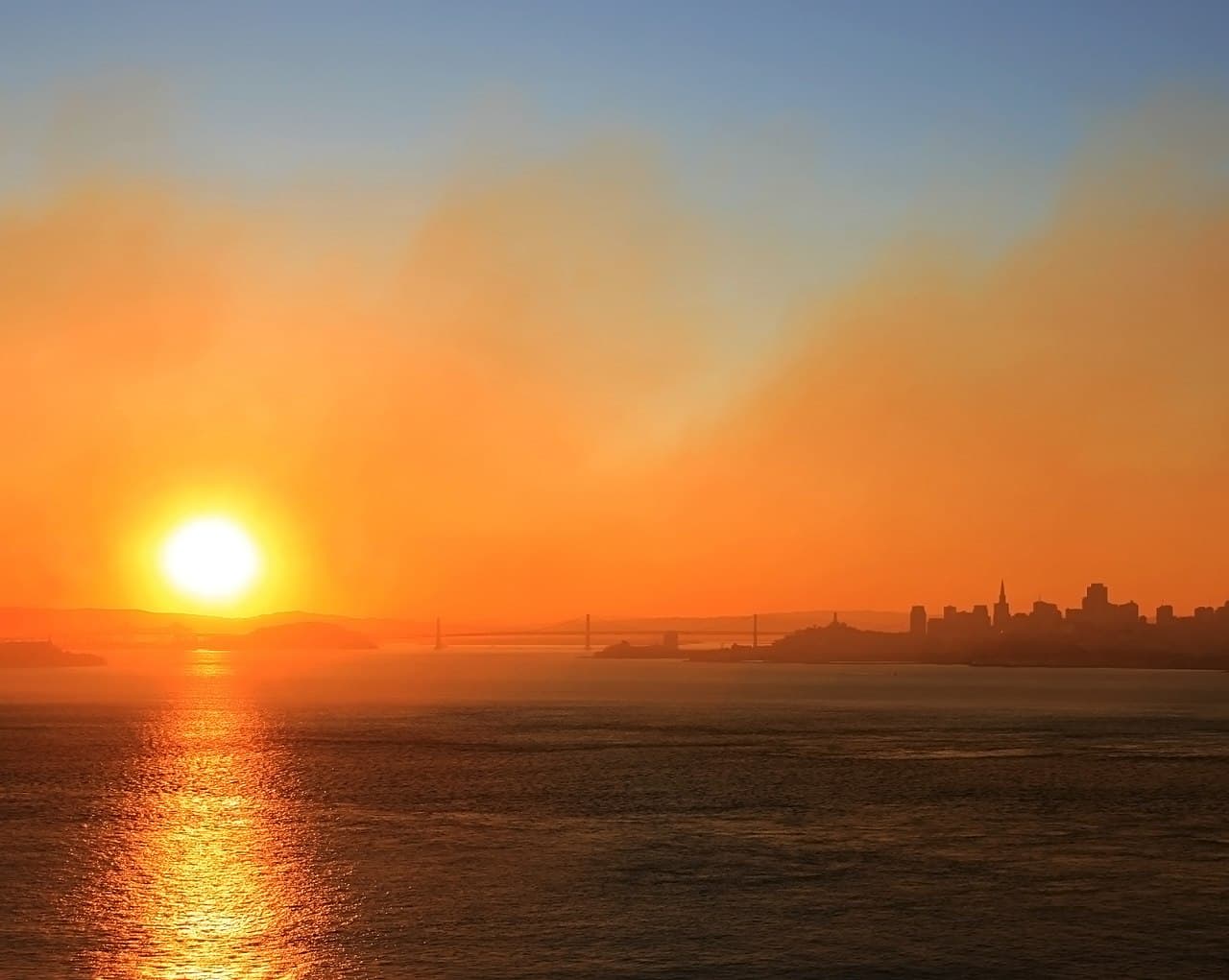
Sunset from the Ridge sites or the Ledyard Overlook, with the Golden Gate Bridge backlit across the water.
Clear September and October evenings, when the marine layer stays outside the Gate and the city skyline lights up after dark.
Day visitors leave on the last ferry and the island empties - everything after that is yours. Shoot Perles Beach and Camp Reynolds in the evening rather than midday, when the tram tour is running the perimeter.
Consider these alternatives if your preferred dates aren't available.
Group camp on the west side near a small beach, accommodating up to 20 people.
Only makes sense for a group, and kayak campers must secure their boats against high tidewater.
Seven walk-in sites on a marine terrace one mile south of Stinson Beach, across the Golden Gate in Marin.
Open Pacific instead of Bay views, and you can drive to the terrace - but no ferry safety net and a far harder booking.
Drive-in campground on Mount Diablo, about an hour east, with Bay Area summit views.
You lose the island and the ferry, but you keep the big view and you can park at your site.
Nearby campgrounds to complete your Env Sites trip
A small favor
Google lets you pick the sites it highlights for you. Add PermitSnag and our permit pages get marked as one of yours in AI Overviews and AI Mode.
Takes less than a minute.