Trans-Zion Permit: Route
Trans-Zion permits are booked by advance reservation in Zion National Park. The route covers 48 miles.
Cross the entirety of one of America's most iconic national parks, from the remote Finger Canyons of Kolob to the soaring walls of Zion Canyon.
This guide covers the Trans-Zion Traverse permit.
$15
Permit Cost
4-5 days
Duration
48 miles
Distance
6,500'
Elevation Gain
strenuous
Difficulty
About Trans-Zion
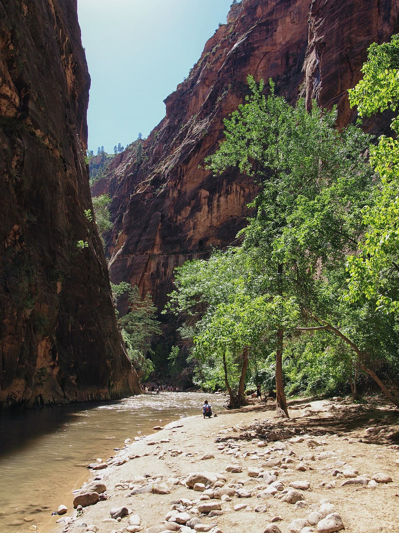
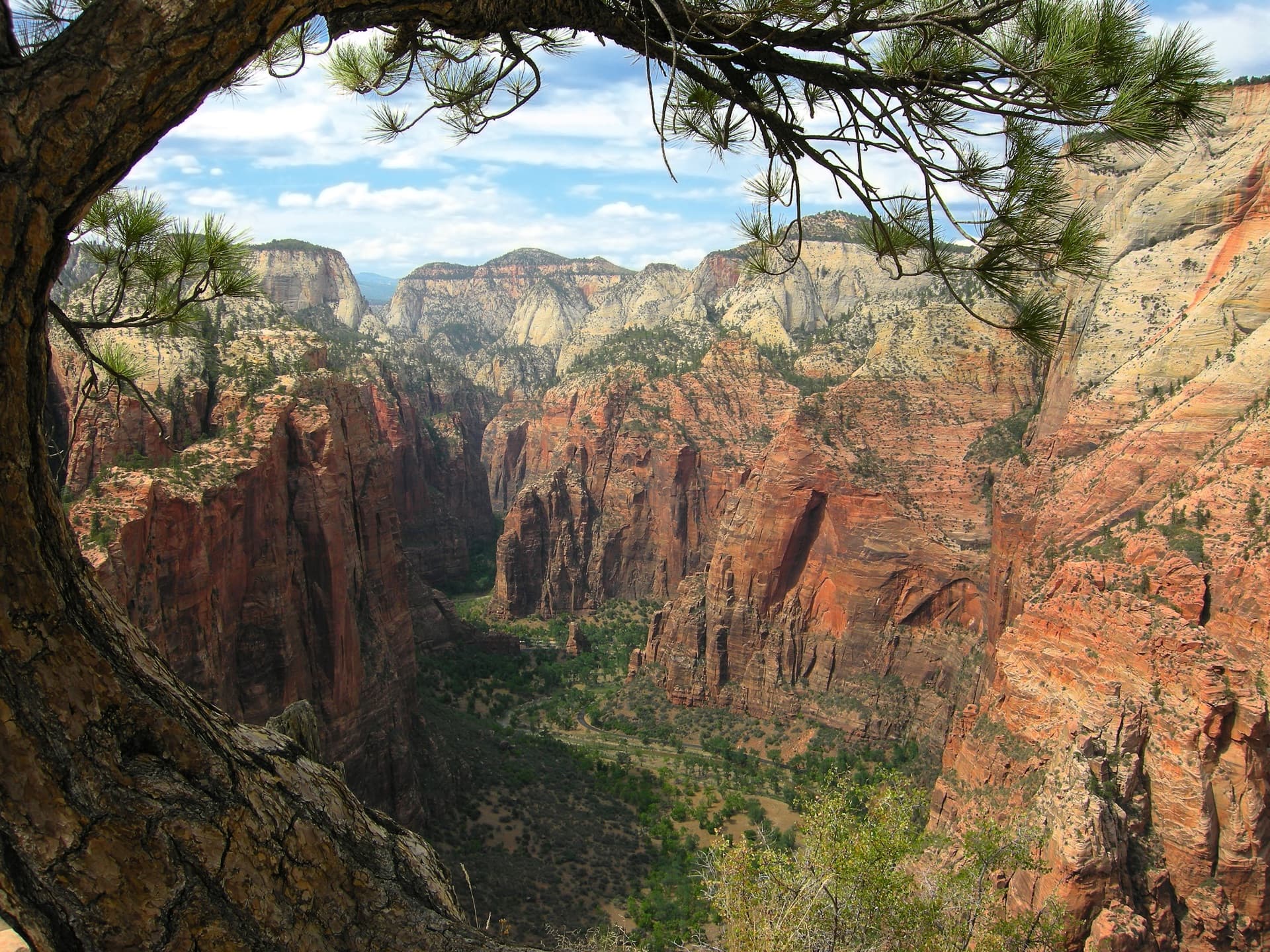
The Trans-Zion Traverse is Zion National Park's premier backpacking route, crossing from the remote Kolob Canyons to the famous main canyon. This point-to-point journey showcases the park's remarkable diversity—from soaring red rock amphitheaters to pine forests to desert slickrock. The traverse links four distinct landscapes: the dramatic Finger Canyons of Kolob, the wide sandy valleys of Hop Valley, the forested plateaus of Wildcat Canyon, and finally the iconic West Rim with its commanding views into Zion Canyon. Due to a rockfall that closed East Rim Trail access from the main canyon, most hikers now end at The Grotto rather than continuing to the original East Mesa terminus. This modified route remains one of the most rewarding multi-day experiences in the Southwest.
The Trans-Zion Traverse represents the complete Zion experience—from its least-visited wilderness to its most famous viewpoints. Few visitors experience the full breadth of what makes this park remarkable.
The Trans-Zion route
- Distance
- 48 miles
- Route type
- point-to-point
- Elevation gain
- 6,500 ft
- High point
- 7,890 ft
- Low point
- 4,350 ft
- Trip length
- 4-5 days
- Difficulty
- strenuous
Entry points: Lee Pass Trailhead, The Grotto
Southwest Utah. Nearest town: Springdale
Points along the route
- Lee Pass TrailheadMile 0, 6,080 ft
- Timber Creek OverlookMile 3, 6,300 ft
- La Verkin CreekMile 6, 5,050 ft
- Kolob Arch ViewpointMile 8, 5,297 ft
- Beatty SpringMile 12, 5,500 ft
- Willis Creek JunctionMile 14, 5,800 ft
- Connector TrailMile 16, 6,200 ft
- Hop ValleyMile 18, 5,274 ft
- Hop Valley SpringMile 21, 6,400 ft
- Wildcat Canyon TrailheadMile 24, 6,915 ft
- Lava PointMile 26, 7,890 ft
- West Rim JunctionMile 28, 7,500 ft
- Potato Hollow SpringMile 31, 6,800 ft
- Telephone Canyon JunctionMile 33, 6,900 ft
- West Rim Campsite 6Mile 36, 7,297 ft
- Cabin SpringMile 38, 6,736 ft
And 4 more named points along the route.
The Experience
The journey shifts between worlds: red rock finger canyons give way to cool forest, then open meadows, before the final descent reveals the famous Zion Canyon walls towering above. Standing atop Angels Landing's neighbor peaks, you realize most visitors never see what you've just walked through.
Beginning at Lee Pass in the remote Kolob Canyons section, the trail descends into La Verkin Creek canyon—home to Kolob Arch, one of the world's largest. The sandy Hop Valley Trail leads through cattle ranch country before Wildcat Canyon's forests provide a transition zone. The West Rim Trail delivers the journey's climax: dramatic overlooks of the Great White Throne and Zion Canyon before the famous Walter's Wiggles switchbacks deposit you at The Grotto.
What to Expect
Dramatic elevation changes from 4,350 to nearly 7,900 feet
Limited water sources requiring careful planning
Sandy trails in Hop Valley slow progress significantly
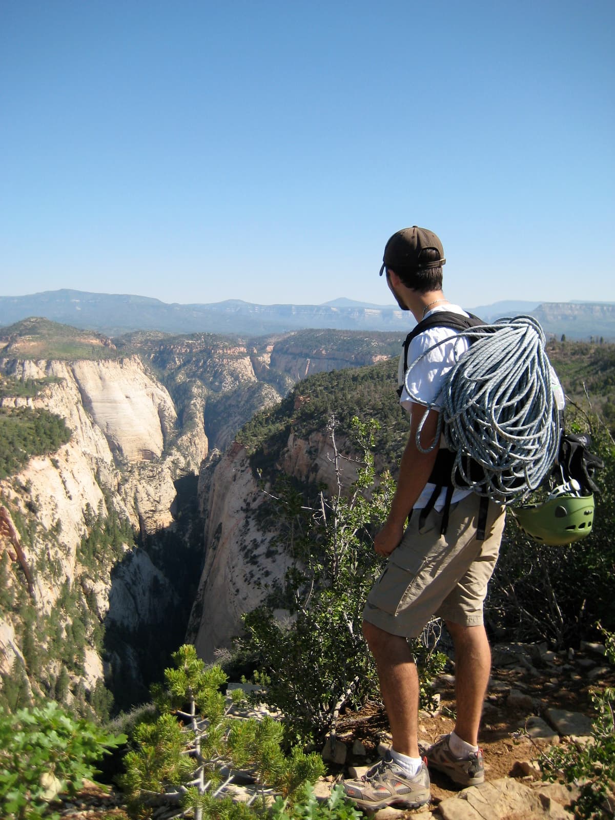
West Rim section features exposed cliffs and dramatic views
Point-to-point logistics require shuttle arrangement
Temperature extremes between canyon bottom and high plateaus
Get Trans-Zion Alerts
Be first to know when cancellations happen.
Permit Requirements
Wilderness permit required for all overnight stays
Half the wilderness campsites can be reserved online, released quarterly on December 5, March 5, June 5 and September 5 at 10 a.m. MT
The other half go first-come, first-served in person at the Zion Canyon Visitor Center Wilderness Desk, no more than one day before the trip
Permit pickup required in person with vehicle information
Maximum group size of 12 people
Campfires prohibited throughout the park backcountry
No camping within sight of trails, under rock overhangs, within a mile of roads, or within a quarter mile of a spring or the park boundary
Gear & Preparation
Required Gear
- •Water - NPS says carry a gallon per person per day and drink it
- •Permit paperwork and vehicle info
- •Sturdy boots for sandy and rocky terrain
- •Sun protection (exposed plateaus and canyons)
- •Map and navigation tools
Recommended Gear
- •Water pre-filter for silty sources
- •Trekking poles for sandy sections
- •Gaiters for sand and brush
- •Satellite communicator (limited cell coverage)
- •Extra water containers for dry stretches
Hazards & Safety
Scarce and unsafe water - NPS treats springs as an emergency source only, and says not to drink from streams at all because no known filtration reduces cyanobacteria toxins to safe levels
Extreme heat in lower elevations (can exceed 100°F)
Flash flood danger in canyon sections during monsoon
Exposed cliffs on West Rim with significant drops
Cattle and associated waste in Hop Valley
Sandy trail sections slow progress considerably
Best Time to Visit
Spring (March-May) and fall (September-November) offer the best conditions. Summer brings extreme heat in the canyons and unpredictable monsoon storms. Winter is possible but cold, with potential snow on higher sections.
100+ wilderness permits, extensive backcountry experience
This guide is based on personal experience obtaining wilderness permits and is regularly updated to reflect current policies and strategies.
Frequently Asked Questions
How do I get a Trans-Zion permit?
+
Trans-Zion permits require advance reservations. Book online as soon as reservations open for your desired dates.
When is the best time to visit Trans-Zion?
+
Spring (March-May) and fall (September-November) offer the best conditions. Summer brings extreme heat in the canyons and unpredictable monsoon storms. Winter is possible but cold, with potential snow on higher sections.
How long is the Trans-Zion route?
+
The route is 48 miles, as a point-to-point. Plan on 4-5 days.
How difficult is the Trans-Zion route?
+
Experienced desert backpackers comfortable with heat, limited water, and point-to-point logistics. Good for those seeking a multi-day Zion immersion beyond the crowded main canyon.
Where does the Trans-Zion route start?
+
The permit covers 2 entry points: Lee Pass Trailhead, The Grotto.
What gear do I need for the Trans-Zion route?
+
Essential gear includes: Water - NPS says carry a gallon per person per day and drink it, Permit paperwork and vehicle info, Sturdy boots for sandy and rocky terrain, Sun protection (exposed plateaus and canyons), Map and navigation tools.
Don't Miss Your Trans-Zion Permit
Cancellations happen every day. PermitSnag monitors Trans-Zion availability 24/7 and alerts you the moment a spot opens up.
Get Permit Alerts