Lottery8/10
Mystery Canyon Zion permit
Zion's classic technical descent, ending with a rappel down Mystery Falls into t...
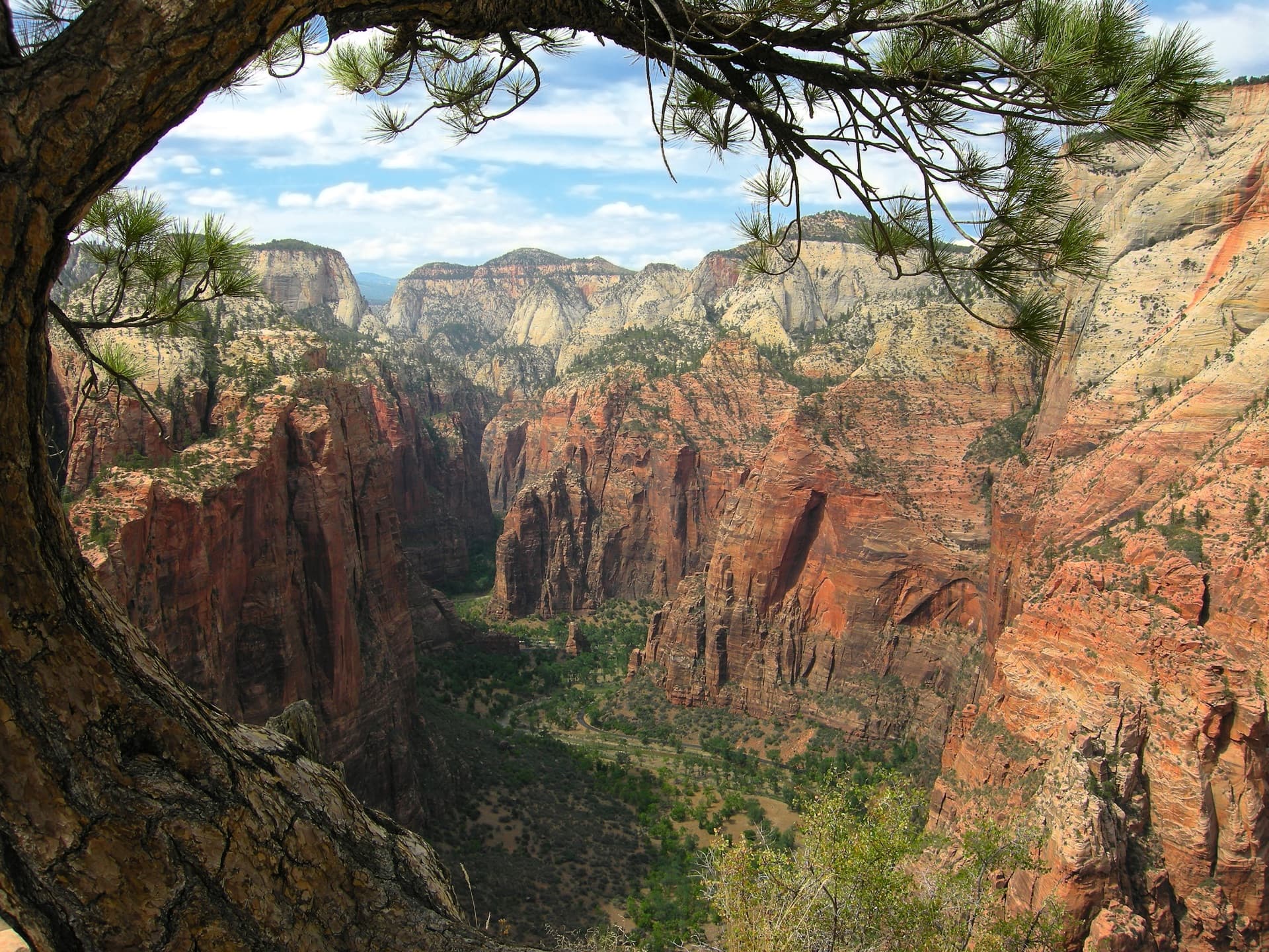
48-mile point-to-point traverse across Zion National Park from Lee Pass in Kolob Canyons to the East Entrance.
“Cross the entirety of one of America's most iconic national parks, from the remote Finger Canyons of Kolob to the soaring walls of Zion Canyon.”
Watch the camp areas you’ll cross— each is booked as its own Zion overnight permit
Build your full itinerary start to finish
Add your dates and get a day-by-day plan: what needs a permit, what gear to bring, and one link to share with your whole group to coordinate every step.
No permit needed to start
Spring (March-May) and fall (September-November) offer the best conditions. Summer brings extreme heat in the canyons and unpredictable monsoon storms. Winter is possible but cold, with potential snow on higher sections.
Trailhead (4,350 ft)
Today
81°
62°
Sun
78°
63°
24%
Mon
78°
59°
30%
Tue
78°
63°
Wed
79°
60°
24%
Thu
77°
60°
Fri
82°
60°
Sign up at Recreation.gov if you don't have an account. Have your payment info ready.
Permits typically release on a rolling basis. Check the specific release time for your desired dates.
Log in a few minutes early. Have your dates, group size, and payment ready to go.
Fitness and endurance required
Climbing, scrambling, or specialized skills
Steep dropoffs and fall potential
Route finding and trail clarity
Difficulty of bailing out mid-route
Experienced desert backpackers comfortable with heat, limited water, and point-to-point logistics. Good for those seeking a multi-day Zion immersion beyond the crowded main canyon.
Should have desert backpacking experience. Multi-day trips with water management required. Heat tolerance essential for summer attempts.
Those who struggle in heat or sandy conditions, hikers uncomfortable with uncertain water sources, anyone who can't manage 12+ miles between water.
The Trans-Zion Traverse is Zion National Park's premier backpacking route, crossing from the remote Kolob Canyons to the famous main canyon. This point-to-point journey showcases the park's remarkable diversity—from soaring red rock amphitheaters to pine forests to desert slickrock.
The traverse links four distinct landscapes: the dramatic Finger Canyons of Kolob, the wide sandy valleys of Hop Valley, the forested plateaus of Wildcat Canyon, and finally the iconic West Rim with its commanding views into Zion Canyon.
Due to a rockfall that closed East Rim Trail access from the main canyon, most hikers now end at The Grotto rather than continuing to the original East Mesa terminus. This modified route remains one of the most rewarding multi-day experiences in the Southwest.
The Trans-Zion Traverse represents the complete Zion experience—from its least-visited wilderness to its most famous viewpoints. Few visitors experience the full breadth of what makes this park remarkable.
Beginning at Lee Pass in the remote Kolob Canyons section, the trail descends into La Verkin Creek canyon—home to Kolob Arch, one of the world's largest. The sandy Hop Valley Trail leads through cattle ranch country before Wildcat Canyon's forests provide a transition zone. The West Rim Trail delivers the journey's climax: dramatic overlooks of the Great White Throne and Zion Canyon before the famous Walter's Wiggles switchbacks deposit you at The Grotto.
The journey shifts between worlds: red rock finger canyons give way to cool forest, then open meadows, before the final descent reveals the famous Zion Canyon walls towering above. Standing atop Angels Landing's neighbor peaks, you realize most visitors never see what you've just walked through.
Starting point in Kolob Canyons section—the park's quiet northwestern corner
Small lot, rarely fills. No overnight parking restrictions.
Exit 40 off I-15, 5 miles into Kolob Canyons section
Cedar City (17 miles) - full services
Main canyon shuttle stop—standard exit point for traverse hikers
A filling station at the shuttle stop, not a source on the traverse - the West Rim above it has only springs, which Zion does not guarantee. Zion shuts canyon water off in freezing weather and for maintenance; check the park's current conditions page.
No personal vehicle access. Must use free park shuttle.
Shuttle from Zion Canyon Visitor Center, arriving about every 5-10 minutes on the in-park line
Springdale (1 mile) - restaurants, lodging, gear shops
Required and recommended gear for Trans-Zion
Trailhead transportation options
Browse all shuttlesExperienced wilderness guides
Browse all guidesSome links may be affiliate links. Purchases support PermitSnag at no extra cost to you.
Emergency contacts, ranger station locations, and satellite communicator tips for Trans-Zion.
Bear canister requirements, approved container lists, and rental locations for this permit.
Trans-Zion is not sold online. There is no single Trans-Zion permit. You book the traverse a night at a time under Zion's Overnight Wilderness permit, picking a camp area for each night — Lee Pass to the East Entrance usually runs La Verkin Creek, Hop Valley, Wildcat Canyon, West Rim and East Rim. Each of those five camp areas can be watched on its own page here, so pick the one you need for each night. There is nothing to watch on the route as a whole, because the route is not something the park sells. PermitSnag does not send alerts for it — check the official permit page for the current process.
Check with the managing agency for current season dates. Weekdays generally have better availability than weekends.
This permit has a demand score of 8/10, making it highly competitive. We recommend having backup dates and reading the official permit page for how this one is issued.
On this permit there is no cancellation queue and no alert to set, because nothing is re-released onto a calendar we could watch. Bring backup dates, and check the official permit page for the current process and any closures.
No active conditions reported
Sign in to report trail conditions.
No questions yet
Be the first to ask about Trans-Zion.
Sunset from West Rim campsites offers some of Zion's best golden hour photography. The Great White Throne turns orange while deep shadows fill the canyon below.
Early morning light illuminates the Kolob Canyons' red walls beautifully. West Rim viewpoints are best at sunset when the canyon glows.
The Kolob section sees minimal traffic—enjoy the solitude. West Rim gets busy near Angels Landing junction; camp at sites 6-9 for better views and fewer crowds than lower sites.
Consider these alternatives if your preferred dates aren't available.
14.2 miles one-way from the West Rim Trailhead near Lava Point to The Grotto via the Rim Trail, or 13.6 via Telephone Canyon, with 3,400 feet of elevation change.
Misses Kolob section but captures the most iconic views. More available permits.
14-mile round trip from Lee Pass to see one of the world's largest arches.
Day-hikeable for strong hikers. La Verkin Creek campsites offer overnight options.
Famous 5.4-mile round trip hike with chains section and dramatic exposure.
Separate permit system. Captures the West Rim's most iconic viewpoint.
Nearby campgrounds to complete your Trans-Zion trip
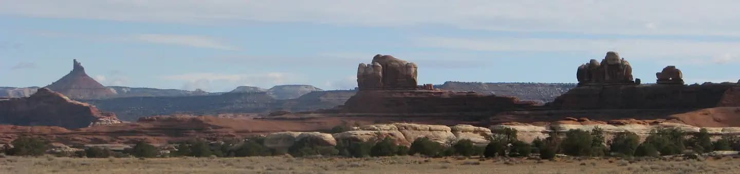 Very HardIn Demand26 sites
Canyonlands National Park
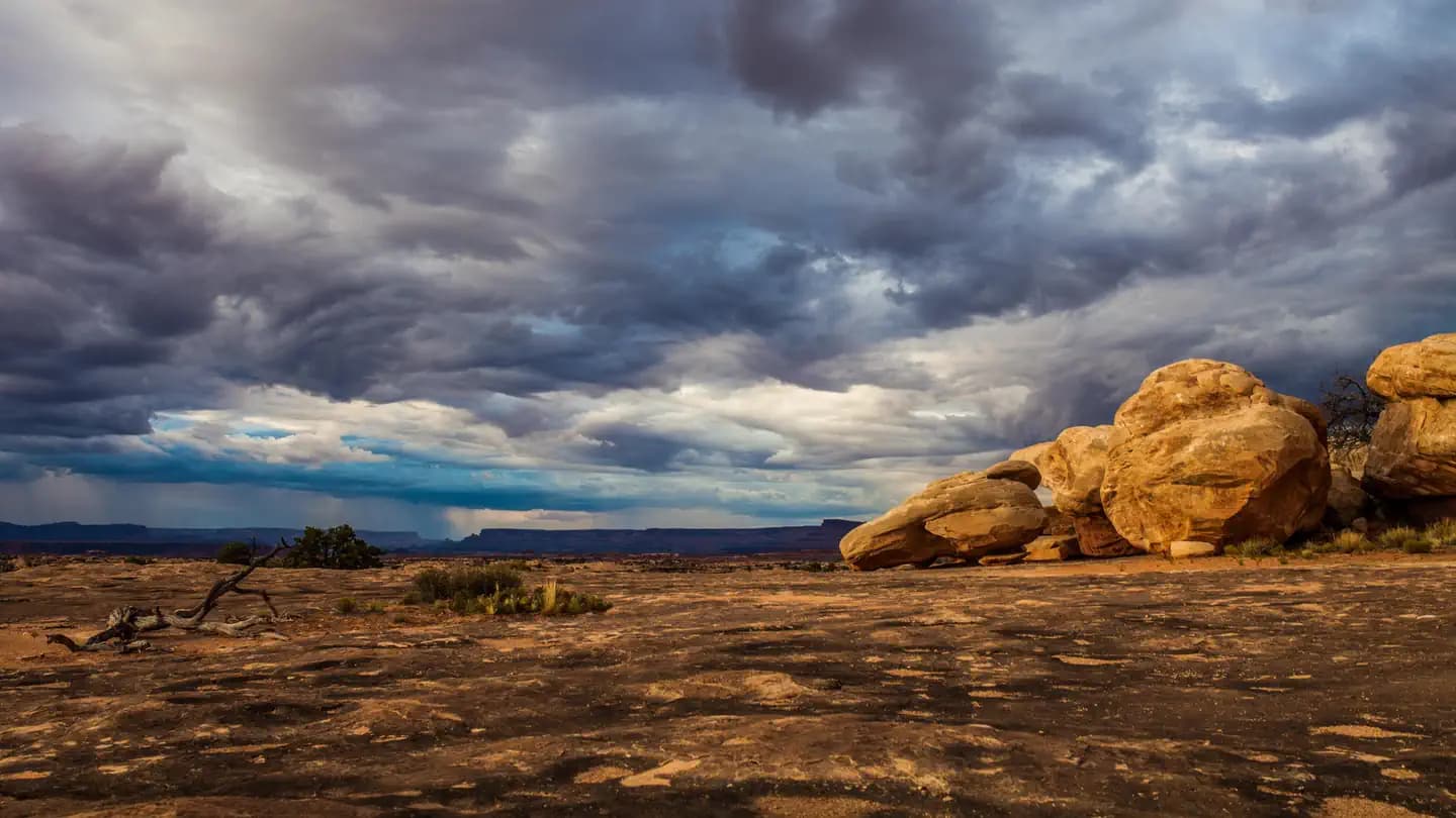 Very HardIn Demand3 sites
Canyonlands National Park
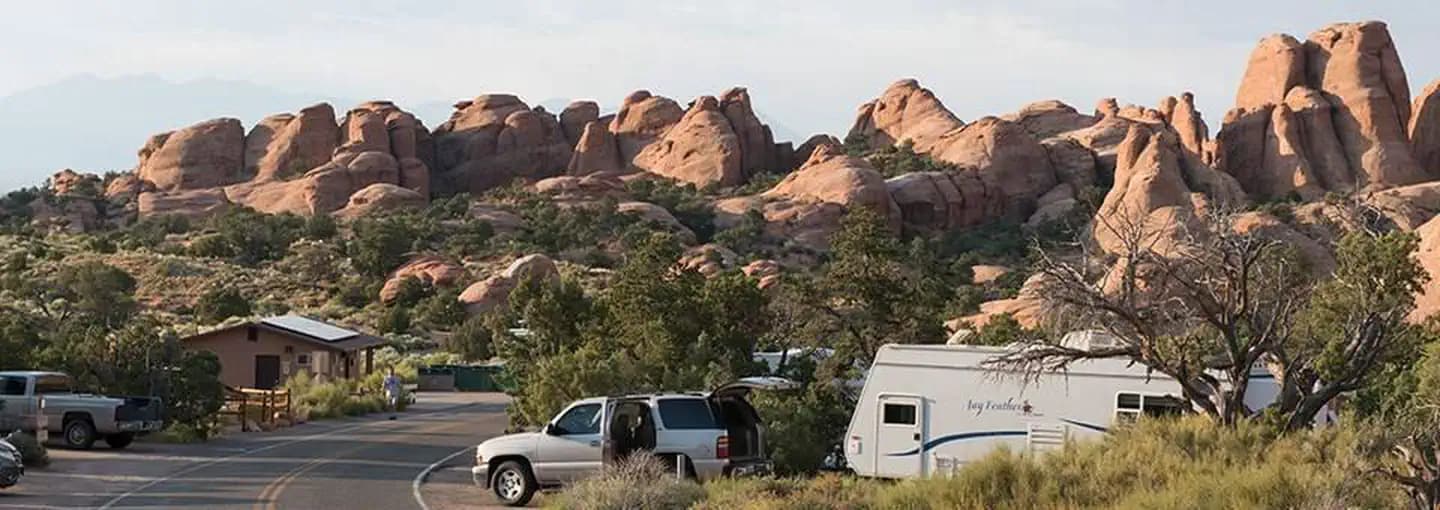 Very HardIn Demand57 sites
Arches National Park
A small favor
Google lets you pick the sites it highlights for you. Add PermitSnag and our permit pages get marked as one of yours in AI Overviews and AI Mode.
Takes less than a minute.