Lottery9/10
Angels Landing
Required permit for the chain-assisted climb to Angels Landing—Zion's most famou...
View Angels Landing Permit permit details and availabilityPermitSnag checks Recreation.gov every 2-3 minutes. When a cancellation posts, we send an alert so you can book before the spot is gone.

The complete 16-mile through-hike of Zion's most famous slot canyon—from Chamberlain's Ranch to Temple of Sinawava.
“Wade 16 miles down the Virgin River through walls that rise 2,000 feet overhead—the ultimate slot canyon experience.”
Be notified instantly when Narrows Top-Down permits become available due to cancellations.
Be notified instantly when Narrows Top-Down permits become available due to cancellations.
June through September offers the warmest water temperatures (65-68°F) but higher flash flood risk. Spring and fall have colder water but more stable weather. The route requires favorable river conditions—check flow rates before planning.
Sign up at Recreation.gov if you don't have an account. Have your payment info ready.
Permits typically release on a rolling basis. Check the specific release time for your desired dates.
Log in a few minutes early. Have your dates, group size, and payment ready to go.
If your dates are sold out, people cancel all the time. Set up PermitSnag alerts to catch openings instantly.
Mild temperatures. Occasional rain. Wildflowers in lower elevations.
Fitness and endurance required
Climbing, scrambling, or specialized skills
Steep dropoffs and fall potential
Route finding and trail clarity
Difficulty of bailing out mid-route
Strong hikers comfortable with extensive river travel and cold water immersion.
River crossing experience helpful. Should have completed at least one full-day strenuous hike.
Hikers under 4'8" (chest-deep crossings), those unable to swim, anyone uncomfortable in moving water.
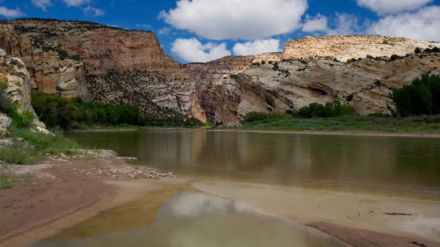
The Narrows Top-Down is a 16-mile through-hike down the North Fork of the Virgin River—Zion's most famous slot canyon. Unlike the bottom-up day hike, this route requires a wilderness permit and a shuttle to the remote Chamberlain's Ranch trailhead.
The hike can be completed as a strenuous 10-14 hour day or as a more leisurely 2-day backpacking trip with camping at one of 12 designated riverside camps. Most of the route involves wading directly in the river.
The Narrows is the narrowest section of Zion Canyon, where the Virgin River has carved a slot so deep and tight that the walls tower 2,000 feet overhead while squeezing to just 20 feet wide. It is widely considered one of the top hikes in the United States and the defining experience of Zion National Park.
From Chamberlain's Ranch, the first miles feel almost too easy—a gravel road through ponderosa pines and meadows. Then you drop into the riverbed and the transformation begins.
The canyon walls grow gradually at first, rising and narrowing imperceptibly. At Deep Creek confluence, the river doubles in volume and the real Narrows begins. The famous landmarks appear in sequence: Big Springs with its hanging gardens, Orderville Canyon entering from the left, and finally Wall Street—where the canyon narrows to 20 feet while the walls soar to 2,000.
The final mile along the Riverside Walk feels almost surreal—paved trail after 15 miles of river walking. You emerge at Temple of Sinawava changed, with wrinkled feet and a memory you'll carry forever.
There's no trail in The Narrows—only the river. For 16 miles, you wade downstream through water that varies from ankle-deep riffles to chest-deep pools. The walls rise around you like a cathedral, narrowing until you're in Wall Street—the famous section where 2,000-foot cliffs squeeze to 20 feet apart and you cannot see sky. The river is your highway, the canyon your temple.
Northern starting point for top-down route. Private ranch—shuttle or 2-car setup required.
No public parking. Must arrange private shuttle or two-car spot.
1.5-hour drive from Springdale via Highway 9 East, then north on North Fork Road. Dirt road may be impassable when wet.
None at trailhead. Springdale or Orderville have full services.
Southern endpoint at Shuttle Stop #9. All top-down hikers exit here.
No parking—shuttle access only. Take Zion Canyon Shuttle to Stop #9.
Access via free Zion Canyon shuttle from Visitor Center.
Zion Lodge (shuttle accessible). Full services in Springdale.
Required and recommended gear for Narrows Top-Down
Trailhead transportation options
Browse all shuttlesExperienced wilderness guides
Browse all guidesSome links may be affiliate links. Purchases support PermitSnag at no extra cost to you.
12,453 permits and 8,294 campsites secured by PermitSnag users
Narrows Top-Down permits use a reservation system. PermitSnag sends lottery open, deadline, and results reminders; you can also enable cancellation alerts if spots open later.
Check with the managing agency for current season dates. Weekdays generally have better availability than weekends.
This permit has a demand score of 7/10, making it highly competitive. We recommend having backup dates and using PermitSnag's cancellation alerts.
Cancellations happen daily. Set up alerts with PermitSnag to get notified the moment a spot opens up. We check availability every 2-3 minutes, 24/7.
The Narrows is shaded most of the day due to the deep canyon. Wall Street photographs best when occasional light beams penetrate the slot (typically midday).
Overcast days provide even, soft light throughout the canyon. Direct sun creates harsh contrast between lit walls and dark shadows.
Top-down hikers have the canyon largely to themselves until Big Springs, where bottom-up crowds begin. Start early to reach Wall Street before the masses.
Consider these alternatives if your preferred dates aren't available.
Day hike from Temple of Sinawava as far as Big Springs (up to 10 miles round trip). No permit or shuttle required.
Crowds are much heavier on this section, but no logistics or permit hassle. Sees the same Wall Street section.
Same top-down route with overnight camping at one of 12 designated sites, allowing a more relaxed 2-day pace.
Same experience spread over two days. Permits for camping are harder to obtain than day-use permits.
Nearby campgrounds to complete your Narrows Top-Down trip
Permit Directory
Find permits for day hikes, overnight backpacking, thru-hikes, canyoneering, and river trips across federal and state lands.
Day-use, overnight, and wilderness permits at America's crown jewels
Sierra Nevada, Lost Coast, and backcountry access
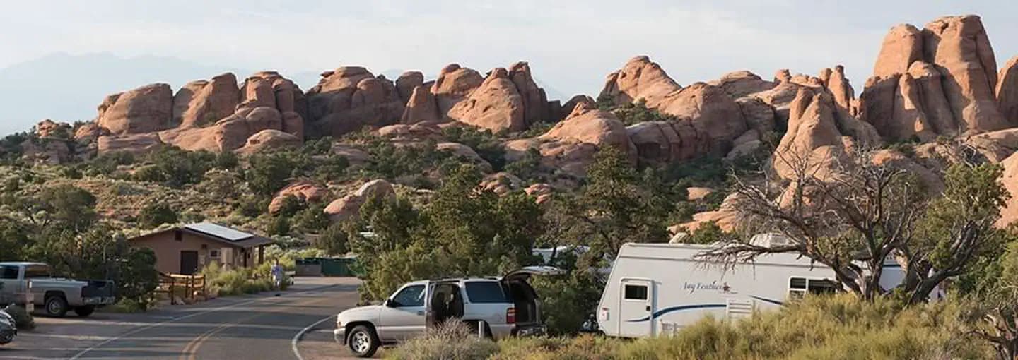
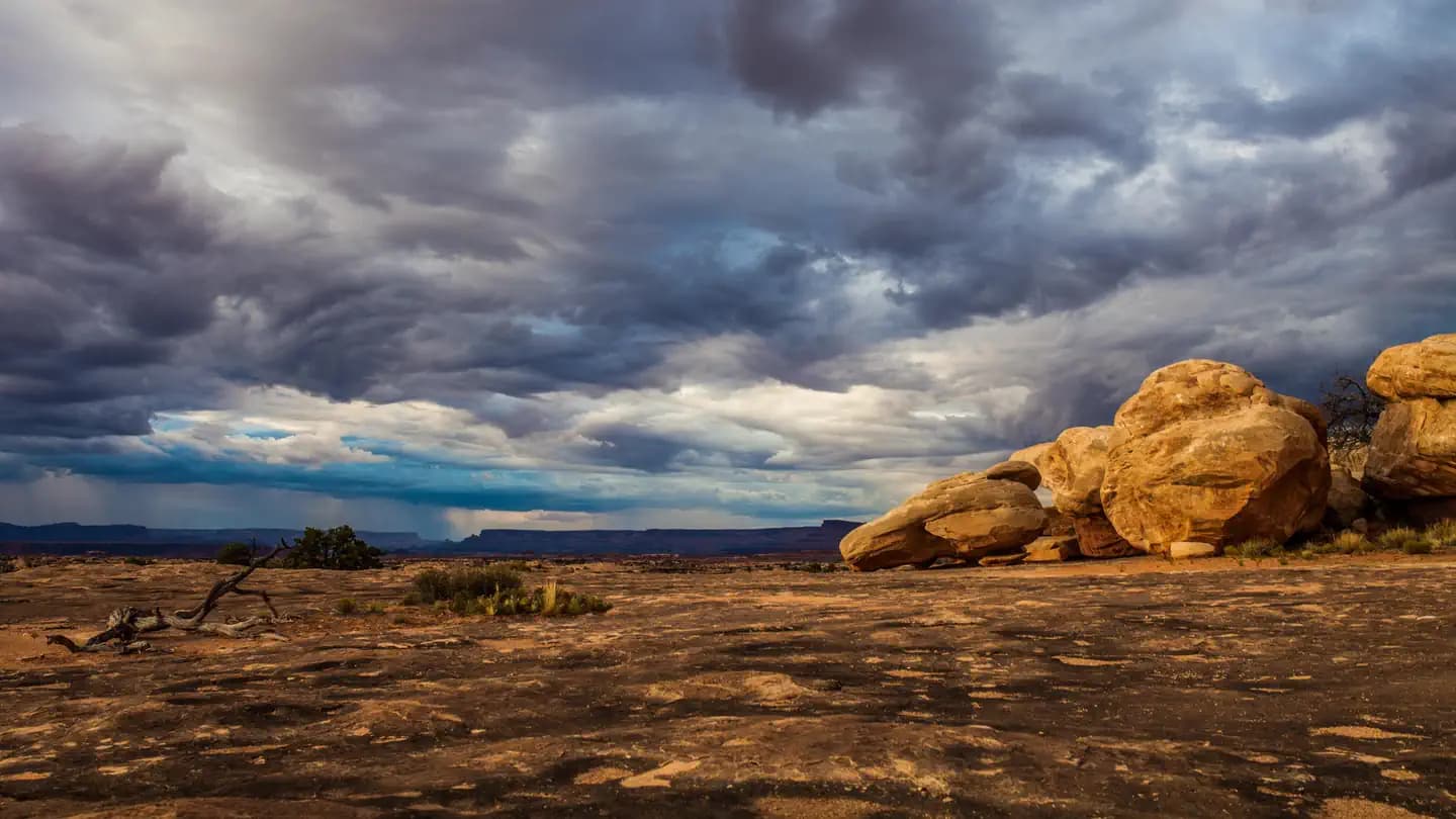
Red rock canyons, slot canyon permits, and desert wilderness
USFS wilderness areas with quota systems
Multi-day point-to-point traverses and epic long-distance trails
Multi-day rafting and river access permits
Backcountry camping and trail permits
High-altitude summit permits and technical climbing routes