Lottery9/10
Angels Landing
Required permit for the chain-assisted climb to Angels Landing—Zion's most famou...
View Angels Landing Permit permit details and availabilityPermitSnag checks Recreation.gov every 2-3 minutes. When a cancellation posts, we send an alert so you can book before the spot is gone.

Technical canyoneering through a tube-shaped slot canyon—one of Zion's most spectacular and photogenic routes.
“Descend through a natural subway tunnel carved in stone—where the canyon walls curve overhead like a sculpture gallery.”
Get reminders when the The Subway lottery opens, before the deadline, and when results post — plus optional cancellation alerts after results.
Get reminders when the The Subway lottery opens, before the deadline, and when results post — plus optional cancellation alerts after results.
Two ways to land it
We watch The Subway for cancellations 24/7 and alert you when a spot opens so you can book before it's gone.
Start free cancellation watchApply with a crew. Each person multiplies your combined odds. We coordinate invites, deadlines, and outcomes.
See plans to start a poolMost crews do both: pool for the lottery, watch for cancellations.
Better odds with a crew
The Subway is a lottery. Every friend who applies adds another entry, so a crew gets more shots at the same permit than any one of you alone.
One of you runs the pool (Pro or a $12 alert). Everyone else joins free.
Summer (June-September) offers the warmest water temperatures but also highest flash flood risk. Spring and fall are ideal with moderate temperatures. Winter is possible but requires full wetsuits.
Sign up at Recreation.gov if you don't have an account. Verify your email and add payment info ahead of time.
Permits get cancelled daily. Peak cancellation times are 24-48 hours before the trip date.
Get instant notifications when cancellations happen. We check availability every 2-3 minutes, 24/7.
Mild temperatures. Occasional rain. Wildflowers in lower elevations.
Fitness and endurance required
Climbing, scrambling, or specialized skills
Steep dropoffs and fall potential
Route finding and trail clarity
Difficulty of bailing out mid-route
Top-down: Experienced canyoneers with rappelling skills. Bottom-up: Strong hikers comfortable with river travel and scrambling.
Top-down requires canyoneering experience and rope skills. Bottom-up requires hiking experience and comfort with river wading.
Top-down route is not for beginners. Both routes unsuitable for those uncomfortable in water.
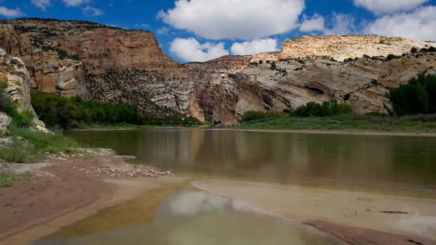
The Subway is a famous slot canyon in the Kolob Terrace section of Zion National Park, named for its tubular shape where the walls curve inward at both floor and ceiling. There are two ways to experience it: a technical top-down canyoneering route (9.5 miles) requiring rappelling skills, or a non-technical bottom-up hike (8 miles round-trip) that visits the formation without requiring technical skills.
Both routes require a Wilderness Permit obtained through the lottery system. Commercial guiding is prohibited—all groups must be self-reliant.
The Subway is one of Zion's most iconic features—a tubular slot canyon where the walls curve inward at both the floor and ceiling, creating a tunnel-like space. It has appeared in countless photographs and represents the pinnacle of sandstone erosion art. The top-down route is considered one of the finest introductory canyoneering routes in the Southwest.
From Wildcat Canyon Trailhead, the top-down route descends Russell Gulch through slickrock terrain before dropping into the Left Fork of North Creek. The first rappels are short—30 feet at most—but commit you to the canyon.
The route follows the narrowing drainage, wading through pools that grow progressively deeper. Keyhole Falls requires either a rappel or a jump into deep water. Then the canyon walls begin to curve overhead, and you enter the Subway proper—the famous tubular section where the rock forms an almost complete tunnel.
The emerald pools here are jaw-dropping, and the North Pole—a massive log wedged vertically in the slot—marks the heart of the formation. Below, the Cascades offer one last obstacle before the canyon opens and you hike out to the Left Fork Trailhead.
The first rappel commits you to the canyon. As you descend, the walls close in and the light changes—filtered, ethereal, green with reflected water. Then the canyon opens into the Subway itself: a tube of rock where walls curve over your head and the emerald pools at your feet reflect a cathedral of stone. You're standing in a space that seems designed by an artist, not carved by water.
Starting point for the technical top-down canyoneering route.
Small dirt pullout on Kolob Terrace Road. Limited spaces.
From Virgin, drive north on Kolob Terrace Road approximately 15 miles. Road may be closed in winter.
Virgin (15 miles) has a small store. Full services in Springdale (25 miles).
Primary trailhead for the non-technical bottom-up route or exit point for top-down route.
Larger parking area with vault toilet. Requires shuttle or two-car setup for top-down route.
From Virgin, drive north on Kolob Terrace Road approximately 8 miles.
Virgin (8 miles) or Springdale (20 miles).
Required and recommended gear for The Subway
Trailhead transportation options
Browse all shuttlesExperienced wilderness guides
Browse all guidesSome links may be affiliate links. Purchases support PermitSnag at no extra cost to you.
Competitive
estimated success rate
Get detailed lottery statistics and tips. Sign up to track this permit.
Apply with a crew to multiply your combined odds, and let auto win-detection tell you the moment you win — you never have to check Recreation.gov. Pool and auto win-detection are on Pro or a $12 permit alert.
12,453 permits and 8,294 campsites secured by PermitSnag users
The Subway permits use a lottery system. PermitSnag sends lottery open, deadline, and results reminders; you can also enable cancellation alerts if spots open later.
Check with the managing agency for current season dates. Weekdays generally have better availability than weekends.
This permit has a demand score of 8/10, making it highly competitive. We recommend having backup dates and using PermitSnag's cancellation alerts.
Cancellations happen daily. Set up alerts with PermitSnag to get notified the moment a spot opens up. We check availability every 2-3 minutes, 24/7.
The Subway's tubular section is sheltered from direct sunlight. Midday offers the best light penetration into the slot.
Late morning to early afternoon provides the best light in the Subway section itself. Emerald pools photograph best with soft, reflected light.
With only 80 permits per day split between top-down and bottom-up routes, the canyon is never crowded. Start early for the best light and fewest people.
Consider these alternatives if your preferred dates aren't available.
An 8-mile round-trip route that visits the Subway formation without technical canyoneering. Same permit lottery but no rappelling required.
Same spectacular destination without the technical skills. Still strenuous with river wading and boulder scrambling.
A beautiful slot canyon that enters The Narrows, requiring wading but no technical skills.
Easier permit access and no canyoneering experience required. Narrower and more intimate than The Subway.
Nearby campgrounds to complete your The Subway trip
Permit Directory
Find permits for day hikes, overnight backpacking, thru-hikes, canyoneering, and river trips across federal and state lands.
Day-use, overnight, and wilderness permits at America's crown jewels
Sierra Nevada, Lost Coast, and backcountry access
Red rock canyons, slot canyon permits, and desert wilderness
USFS wilderness areas with quota systems
Multi-day point-to-point traverses and epic long-distance trails
Multi-day rafting and river access permits
Backcountry camping and trail permits
High-altitude summit permits and technical climbing routes