Lottery9/10
Mount Whitney Overnight lottery
Multi-day permits for Mount Whitney, popular for acclimatization....
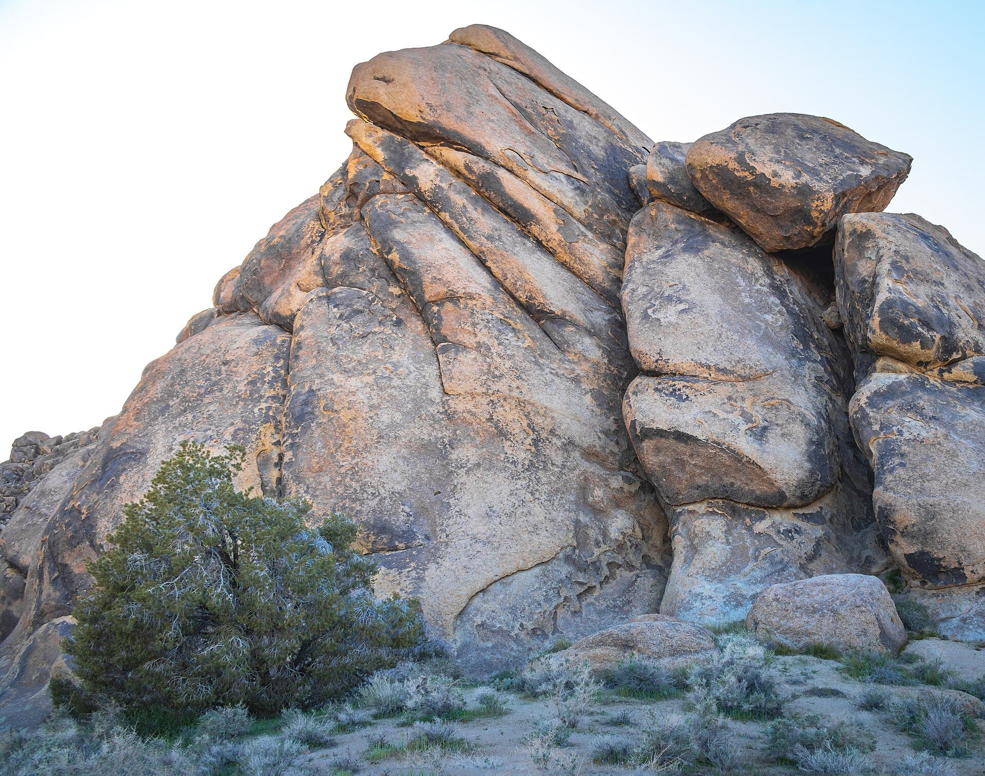
Sequoia & Kings Canyon National Parks · California
Climb the highest peak in the contiguous United States (14,505 ft). The main Whitney Trail is highly competitive.
70% of the openings our scanner caught on Mt. Whitney Day were gone within 5 minutes.
Build your full itinerary start to finish
Add your dates and get a day-by-day plan: what needs a permit, what gear to bring, and one link to share with your whole group to coordinate every step.
No permit needed to start
Mount Whitney has several separate permits for different routes and trip lengths: Mt. Whitney Overnight permit, Whitney Trail Crest exit permit, and Mountaineer's Route permit.
Source: USDA Forest Service, Inyo National Forest. Read the official permit page.
“Submit only one application to the lottery.” Published under the heading "Lottery Terms".
Checked against the agency page on August 20, 2026.
Mid-July through mid-September offers the most reliable conditions. June may have snow on the 99 Switchbacks requiring ice axe and crampons. Late September can see early season snow. Weekday permits are easier to obtain than weekends.
Trailhead (8,360 ft)
Backcountry Tips
Today
45°
29°
Mon
43°
28°
Tue
47°
27°
Wed
47°
27°
Thu
46°
28°
Fri
45°
28°
Sat
45°
26°
Sign up at Recreation.gov if you don't have an account. Verify your email and add payment info ahead of time.
Submit your application between February 1 and March 1. Apply for multiple dates to increase your odds.
Results are typically announced March 15. Check your email and your Recreation.gov account.
Permits get cancelled daily. Peak cancellation times are 24-48 hours before the trip date.
Get notified when cancellations happen. Pro and $19 single-permit alerts are checked about every minute, 24/7; free accounts are checked hourly.
Quota season opens May 1, but the mountain is still under snow. NPS states that ice axes and crampons are needed in spring and early summer.
Fitness and endurance required
Climbing, scrambling, or specialized skills
Steep dropoffs and fall potential
Route finding and trail clarity
Difficulty of bailing out mid-route
Well-conditioned hikers experienced with high altitude and very long days. Must be comfortable with significant elevation and 12+ hours of continuous hiking.
Should have experience hiking above 10,000 feet and have completed at least one 15+ mile day hike with 4,000+ feet of gain.
Those without experience at high altitude, anyone with heart or respiratory conditions, or hikers who haven't completed a 15+ mile strenuous hike.
Mount Whitney (14,505 ft) is the highest summit in the contiguous United States and the most coveted peak in American hiking. The main Whitney Trail is a non-technical Class 1 hike, but its 21.4-mile round trip with 6,656 feet of elevation gain makes it one of the most strenuous day hikes in North America.
Most successful summit attempts require starting between 2-5am to reach the summit by midday and descend before afternoon thunderstorms. The trail passes through the Whitney Zone, requiring a permit year-round.
Mount Whitney has been drawing mountaineers since Clarence King first attempted to climb it in 1871 (though he accidentally summited a nearby peak). The mountain was named for Josiah Whitney, head of the California Geological Survey. Today, it remains the most coveted summit in the Lower 48—a pilgrimage for peak baggers and a testament to human endurance.
The Whitney Trail begins at Whitney Portal (8,360 ft), climbing through a Jeffrey pine forest along the North Fork of Lone Pine Creek. At mile 2.8, you pass Lone Pine Lake—the boundary of the Whitney Zone, where your permit becomes mandatory.
The trail steepens through Bighorn Park to Outpost Camp at mile 3.5, a sheltered area popular with backpackers. Beyond, you traverse past the forbidden-to-camp Mirror Lake and climb to Trail Camp (12,039 ft), the last water source and highest legal campsite.
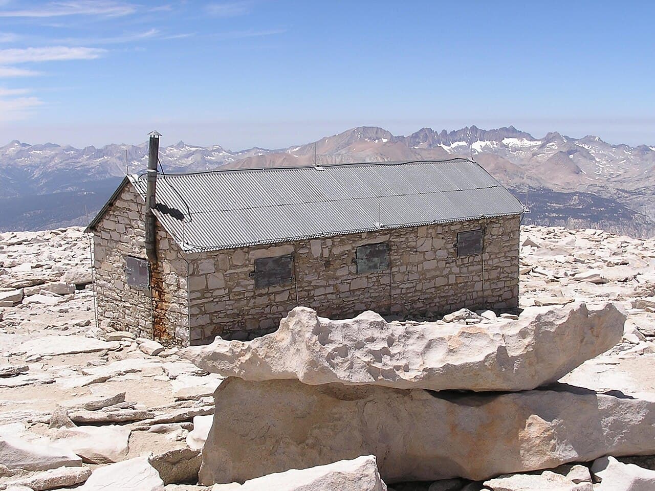
From Trail Camp, the trail attacks the headwall via the legendary 99 Switchbacks—steep, rocky zigzags that climb 1,600 feet to Trail Crest (13,645 ft), where you suddenly see the Western Sierra. The final 2 miles traverse an exposed granite ridge, passing gaps in the rock called 'The Windows' that offer vertigo-inducing views straight down. The stone summit hut appears, and then you're standing on top of the Lower 48.
The pre-dawn start from Whitney Portal is disorienting—headlamps bobbing in the darkness, the trail a faint ribbon through black forest. As light seeps into the sky, you're already above timberline, trudging across granite moonscape. The infamous 99 Switchbacks seem to go on forever, but then you crest Trail Crest and see the Western Sierra spread below you like a rumpled blanket of stone and snow. The final ridge walk to the summit is surreal—you're higher than anything else for a hundred miles, the air thin and sharp, the Owens Valley impossibly far below.
The only trailhead for the main Whitney Trail. Located at the end of Whitney Portal Road, 13 miles west of Lone Pine.
Overnight parking lot fills quickly. Arrive the evening before or use the hiker shuttle from Lone Pine.
From Lone Pine, take Whitney Portal Road west for 13 miles. Road is paved but steep and winding.
Whitney Portal Store has food, gear, and showers (seasonal). Lone Pine has full services including motels, restaurants, and an excellent mountaineering store.
Lottery concierge
Next season’s application dates aren’t published yet.
We check for them every day. Track Mt. Whitney Day now and your concierge picks them up the moment they land, then emails you when applications open, before the deadline, and when results post.
Better odds with a crew
Mt. Whitney Day is a lottery. Every friend who applies adds another entry, so a crew gets more shots at the same permit than any one of you alone.
One of you runs the pool (Pro or a $19 alert). Everyone else joins free.
Required and recommended gear for Mt. Whitney Day
Trailhead transportation options
Browse all shuttlesExperienced wilderness guides
Browse all guidesSome links may be affiliate links. Purchases support PermitSnag at no extra cost to you.
100 people/day, no published rate
estimated success rate
Get detailed lottery statistics and tips. Sign up to track this permit.
Apply with a crew to multiply your combined odds, and let auto win-detection tell you the moment you win — you never have to check Recreation.gov. Win-detection reads the result email you forward us, so it takes a one-time setup in your inbox (about two minutes, and we walk you through it). Pool and auto win-detection are on Pro or a $19 permit alert.
Apply these for the best odds
Opens the official lottery — you submit your entry. We never automate or store your Recreation.gov login.
Full lottery odds & strategy →Yes, year-round, and for day hikers too. NPS is explicit: "All hikers entering the Mt. Whitney zone, including day-hikers, are required to obtain a permit." Which agency you apply to depends on where you start. From Whitney Portal on the east side you apply to Inyo National Forest; approach from the west across the Sierra and you apply to Sequoia & Kings Canyon.
100 people per entry day for Mt. Whitney Zone day use, per Inyo National Forest, with a separate quota of 60 per day for overnight Mt Whitney Trail permits. Children count toward group size, quota and fees — there is no age exemption. Maximum group size is 15, applied year-round including day use.
February 1 through March 1 for the following season. Results post to your Recreation.gov account March 15, awarded reservations must be claimed and paid by April 21, and everything unclaimed goes on general sale at 7 am Pacific on April 22. Submit only one application per group or household or Inyo may reject all of them.
NPS gives it as "a 10.7 mile (17.1 km) trail from Whitney Portal," with the trailhead at 8,360 feet and the summit at 14,505 feet. Inyo describes the round trip as 22 miles gaining over 6,200 feet, and says to expect 12 to 14 hours to the summit and back.
Neither Inyo National Forest nor NPS publishes a success rate for the Whitney lottery, so we do not quote one. The figures that exist are capacities: 100 people a day for day use, 60 for the overnight trail. The most actionable date in the calendar is April 22 at 7 am Pacific, when every unclaimed lottery date is released to everyone.
$6 as a non-refundable reservation fee per permit, plus $15 per person for any trip entering the Whitney Zone. Inyo does not refund Mt. Whitney permits at all — no rain checks, no credits — and gives no discounts for age, military service, seniors or children. Interagency passes are not accepted for wilderness permits.
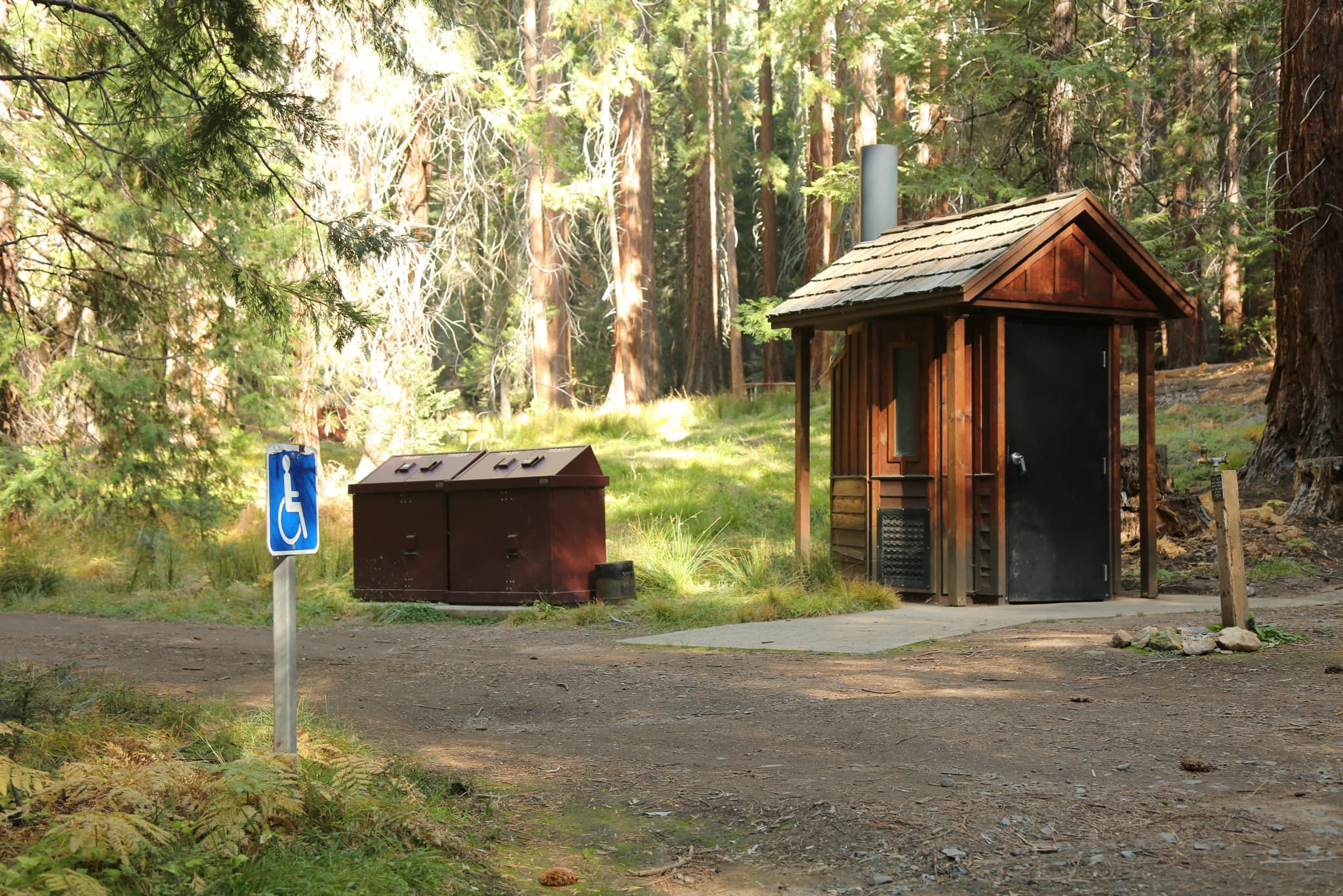
Yes. There are no restrooms along the trail, and Inyo states that "all Mt. Whitney hikers are expected to pack-out their poop." Pack-out kits are provided at the trailhead and at the visitor center, and there is a disposal box near the restroom at Whitney Portal.
At Trail Crest, 13,600 feet, roughly two miles from the summit. Park rules apply from there: pets are prohibited, no camping in the Mt. Whitney shelter, and off-trail parties on Mt. Whitney are capped at 8 people rather than 15. The summit itself sits on the boundary between Sequoia National Park and Inyo National Forest.
No active conditions reported
Sign in to report trail conditions.
Summit sunrise is extraordinary—arrive before dawn for views of the shadow of Whitney stretching across the Owens Valley.
Early morning light on the eastern face from the Alabama Hills is the classic roadside shot. For summit photography, pre-dawn to early morning offers the best visibility before afternoon haze.
Start at 2-3am to reach the summit for sunrise and have the top to yourself. Most hikers arrive between 10am-2pm.
Consider these alternatives if your preferred dates aren't available.
A shorter (12 miles RT) but more technical Class 3 route up the North Fork. Involves exposed scrambling and route-finding.
Same permit system, but route is more dangerous and requires mountaineering experience. Not recommended for hiking-only visitors.
A multi-day approach from the west via Shepherd Pass, summiting Whitney as part of a longer backpacking trip.
Much easier to get a permit (Inyo NF general wilderness permit), but requires 3-4 days and significant mileage.
California's 9th highest peak at 14,042 feet, climbed via Cottonwood Lakes. Similar elevation with far fewer crowds.
A 'fourteener' without the Whitney crowds, but lacks the prestige of climbing the highest point.
Nearby campgrounds to complete your Mt. Whitney Day trip
Articles that plan a trip around this permit.
A small favor
Google lets you pick the sites it highlights for you. Add PermitSnag and our permit pages get marked as one of yours in AI Overviews and AI Mode.
Takes less than a minute.