Reservation6/10
Yosemite May Lake permit
Wilderness permit for overnight camping starting from the May Lake trailhead in ...
Yosemite National Park · California
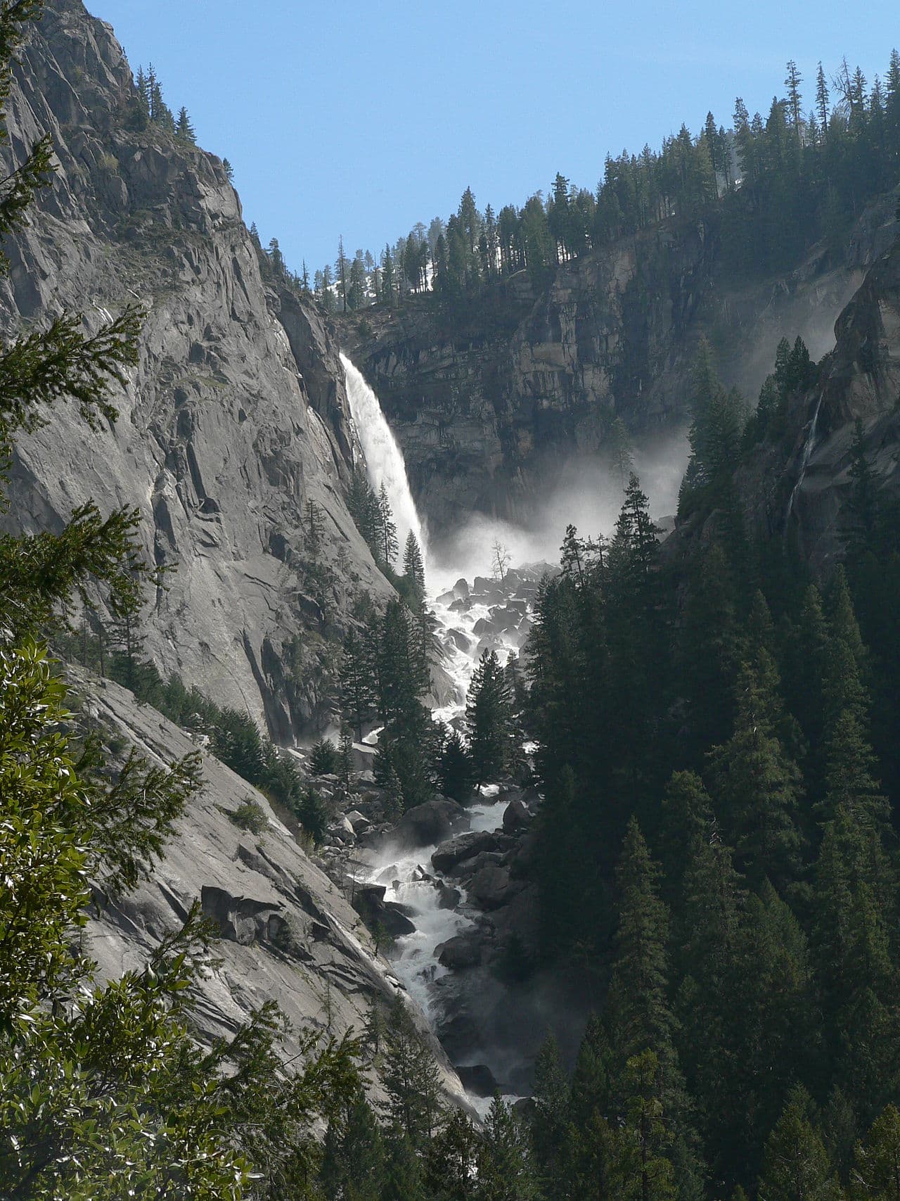
Wilderness permit for overnight camping starting from the Glacier Point to Illilouette trailhead in Yosemite National Park.
70% of the openings our scanner caught on Glacier Point to Illilouette were gone within 10 minutes.
Build your full itinerary start to finish
Add your dates and get a day-by-day plan: what needs a permit, what gear to bring, and one link to share with your whole group to coordinate every step.
No permit needed to start
The window is May 16 to October 14 in 2026, opening whenever Glacier Point Road does. June and September are the best of it. Midsummer is warm and dry in the basin, and the creek drops steadily through August.
Trailhead (5,000 ft)
Backcountry Tips
Today
62°
44°
Sun
57°
44°
Mon
66°
41°
Tue
66°
38°
Wed
68°
39°
Thu
71°
45°
Fri
74°
47°
Sign up at Recreation.gov if you don't have an account. Have your payment info ready.
Permits typically release on a rolling basis. Check the specific release time for your desired dates.
Log in a few minutes early. Have your dates, group size, and payment ready to go.
If your dates are sold out, people cancel all the time. Set up PermitSnag alerts to catch openings instantly.
Warm and dry in the basin, storms in the afternoon.
Fitness and endurance required
Climbing, scrambling, or specialized skills
Steep dropoffs and fall potential
Route finding and trail clarity
Difficulty of bailing out mid-route
Backpackers who want solitude without a hard approach, and anyone who missed the five-permit Happy Isles to Illilouette quota.
One prior overnight. The approach is downhill and the navigation is straightforward.
Half Dome hopefuls and John Muir Trail hikers, neither of which this permit allows.
Glacier Point to Illilouette is a Glacier Point Road wilderness trailhead in Yosemite National Park, dropping southeast into the Illilouette Basin and the south end of the park.
NPS sets the daily quota at 30 people: 18 reservable by lottery 24 weeks in advance and 12 released first-come, first-served one week in advance. That is one of the largest quotas in the park and by far the easiest way into the Illilouette country.
The camping rules are specific. You must travel as far as the Buena Vista Trail junction before camping, you may not camp in Little Yosemite Valley on your first night, and camping is not allowed along the Panorama Trail or at the top of Illilouette Fall. NPS lists both Half Dome and the John Muir Trail as unavailable with this trailhead. Reservations for the Wawona and Glacier Point Road area run May 16 to October 14, 2026.
NPS describes this trailhead as beginning at Glacier Point and travelling southeast toward the Illilouette Basin, to destinations in the south end of the park and beyond. It is the same basin the Happy Isles route reaches after a 2,000-foot climb and a five-permit-a-day fight, from the other direction and with six times the quota.
From Glacier Point the trail drops southeast toward the Illilouette basin. NPS requires you to travel as far as the Buena Vista Trail junction before camping, and prohibits camping in Little Yosemite Valley on your first night, along the Panorama Trail, or at the top of Illilouette Fall.
Past the Buena Vista junction the country opens toward Mono Meadow, Ottoway Lake and the Clark Range, which is as remote as Yosemite gets without a very long walk.
Glacier Point Road governs the season. NPS says the road is closed during winter and typically opens in mid May, and that if you make a reservation and the road is closed, your permit is not valid and there is no refund.
You start where the tour buses stop, walk away from the railing, and within an hour the noise is gone. The Illilouette drainage is broad, forested and almost never visited, with the Clark Range standing at the far end of it.
Required and recommended gear for Glacier Point to Illilouette
Trailhead transportation options
Browse all shuttlesExperienced wilderness guides
Browse all guidesSome links may be affiliate links. Purchases support PermitSnag at no extra cost to you.
Trailhead on the Glacier Point Road, typically open from mid May.
On the Panorama Trail side. No camping at the top.
The point NPS requires you to reach before camping.
The far end of the basin, for parties with three or more days.
NPS sets the quota at 30 people per day: 18 by lottery 24 weeks in advance and 12 first-come, first-served one week in advance.
You must travel as far as the Buena Vista Trail junction before camping. Little Yosemite Valley is off limits on the first night, and camping is not allowed along the Panorama Trail or at the top of Illilouette Fall.
No. NPS states Half Dome is not available with this trailhead, and neither is the John Muir Trail or Donohue Pass.
NPS says the road is closed during winter and typically opens in mid May, though it can open earlier or later depending on snowpack. If the road is closed on your date the permit is not valid and there is no refund.
No active conditions reported
Sign in to report trail conditions.
No questions yet
Be the first to ask about Glacier Point to Illilouette.
No trip reports yet
Be the first to share your experience at Glacier Point to Illilouette.
Write the First ReportSunset at Glacier Point before you walk, then first light on the Clark Range from inside the basin.
Morning at Illilouette Fall, before the sun clears the rim.
Everyone within a mile of Glacier Point is a day visitor. Past the Buena Vista junction you are alone.
Consider these alternatives if your preferred dates aren't available.
The same basin from Yosemite Valley, climbing past Vernal and Nevada Falls.
Only 5 permits a day and a 2,000-foot climb, but no road dependency.
A Glacier Point Road trailhead into the lake country south of the Illilouette drainage.
A lake destination instead of an open basin, on a 25-person quota.
The same trailhead on the permit that sends you to the Little Yosemite Valley campground.
Half Dome eligible, but a fixed first night at a busy campground.
Nearby campgrounds to complete your Glacier Point to Illilouette trip
A small favor
Google lets you pick the sites it highlights for you. Add PermitSnag and our permit pages get marked as one of yours in AI Overviews and AI Mode.
Takes less than a minute.