Reservation9/10
Happy Isles to Little Yosemite Valley cancellations
Wilderness permit for overnight camping starting from the Happy Isles to Little ...
Yosemite National Park · California
Wilderness permit for overnight camping starting from the Lyell Canyon (Donohue Pass eligible) trailhead in Yosemite National Park.
70% of the openings our scanner caught on Lyell Canyon (Donohue Pass eligible) were gone within 10 minutes.
Build your full itinerary start to finish
Add your dates and get a day-by-day plan: what needs a permit, what gear to bring, and one link to share with your whole group to coordinate every step.
No permit needed to start
The Tuolumne Meadows reservation season runs June 18 through October 14 in 2026, bounded by Tioga Road, which usually opens late May or early June and closes with the first significant snow. Early summer means mud, mosquitoes and snow on Donohue; late August and September give firm trail, no bugs and cold nights. Overnight parking on Tioga Road ends October 15.
Trailhead (5,000 ft)
Today
76°
68°
Sun
76°
63°
Mon
86°
65°
Tue
87°
65°
Wed
86°
63°
Thu
89°
63°
Fri
92°
66°
Sign up at Recreation.gov if you don't have an account. Have your payment info ready.
Permits typically release on a rolling basis. Check the specific release time for your desired dates.
Log in a few minutes early. Have your dates, group size, and payment ready to go.
If your dates are sold out, people cancel all the time. Set up PermitSnag alerts to catch openings instantly.
Tioga Road is usually still closed and the canyon is under snow. Outside the June 18 start of the reservation season permits are free and unreserved, but the trailhead is unreachable by car.
Fitness and endurance required
Climbing, scrambling, or specialized skills
Steep dropoffs and fall potential
Route finding and trail clarity
Difficulty of bailing out mid-route
John Muir Trail hikers who want the biggest Donohue Pass quota in the park, and anyone who wants a high-country trip that starts at 8,600 feet instead of climbing to it.
Standard backpacking for the canyon itself. Continuing south over Donohue turns it into a multi-week trip with resupply and continuous-travel permit rules.
Hikers set on the classic Happy Isles start with Vernal and Nevada Falls, and anyone who wants dramatic scenery in the first few miles — this is meadow walking.
Lyell Canyon (Donohue Pass eligible) is the Tuolumne Meadows wilderness permit that lets you walk south out of Yosemite on the John Muir Trail. NPS caps Donohue exits at 45 hikers per day and allocates 30 of them here — twice the Happy Isles to Past LYV share.
The daily quota of 30 splits the usual way: 18 through the weekly lottery 24 weeks out, 12 released seven days in advance at 7 am Pacific. No permits are set aside for walk-ups.
The trail itself is the gentlest entry to the high country in the park — 11.4 miles round trip with 300 feet of gain up the canyon, on ground the John Muir and Pacific Crest Trails share. NPS rates permit demand "Very High" anyway, because everyone hiking the JMT southbound wants one of these 30 spots.
Yosemite limits hikers exiting the park over Donohue Pass to 45 per day. Lyell Canyon holds 30 of them — double the Happy Isles allocation — which makes this the highest-capacity way onto the southbound John Muir Trail anywhere in the park. It also skips the 22 hardest in-park miles and 5,900 feet of climbing that Happy Isles hikers do before they get here.
The trailhead is marked by a John Muir Trail sign south of the Dog Lake parking area, and it starts near the Tuolumne Lodge parking lot. A short way in you cross a bridge over the Dana Fork of the Tuolumne, then reach the Lyell Fork and the pair of bridges known as Twin Bridges — three miles round trip and, in the park's words, mostly flat.
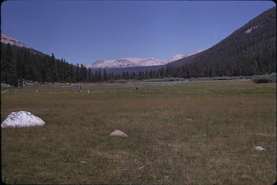
Beyond that the John Muir Trail and Pacific Crest Trail run together up the open grassy floor of Lyell Canyon, with views of the Kuna Crest and Mount Lyell. NPS gives the canyon as 11.4 miles round trip with 300 feet of gain, which is why it reads as a walk rather than a climb. Yosemite's four-trail-mile rule from Tuolumne Meadows still applies, so the first legal camp is a way up the canyon.
Then it climbs. Donohue Pass sits at 11,056 feet on the park's southern boundary and is the highest point of the Pacific Crest Trail inside Yosemite. Cross it on a Donohue Pass eligible permit and one Yosemite permit carries you the rest of the John Muir Trail, with no Whitney stamp and no permits from the forests and parks south of here. Turn left at Ireland Creek instead and you can loop out over Ireland and Evelyn Lakes and back down Rafferty Creek, 22.2 miles with 2,150 feet of gain.
Two bridges over the Lyell Fork of the Tuolumne, then miles of open grass with the river running beside you and the Kuna Crest on your left. It is the least dramatic start to a famous trail imaginable, and that is the appeal — you walk into the wilderness at 8,600 feet without earning it, and the canyon takes hours to give way to the climb toward Donohue.
Marked by a John Muir Trail sign south of the Dog Lake parking area. The trail starts near the Tuolumne Lodge parking lot and is part of both the John Muir Trail and the Pacific Crest Trail.
Park at the Tuolumne Meadows Wilderness Center or the Dog Lake parking lot. Long-term parking for the length of your trip is free and needs no reservation, and food lockers are available at trailhead parking areas. Overnight parking on Tioga Road ends October 15.
Reachable only when Tioga Road is open, typically late May through October or November. If you hold a reservation and the road is closed, the permit is not valid and there is no refund.
Tuolumne Meadows. Permits are issued at the Tuolumne Meadows Wilderness Center, 8 am to 5 pm. The post office accepts General Delivery packages roughly mid-June to mid-September.
Required and recommended gear for Lyell Canyon (Donohue Pass eligible)
Trailhead transportation options
Browse all shuttlesExperienced wilderness guides
Browse all guidesSome links may be affiliate links. Purchases support PermitSnag at no extra cost to you.
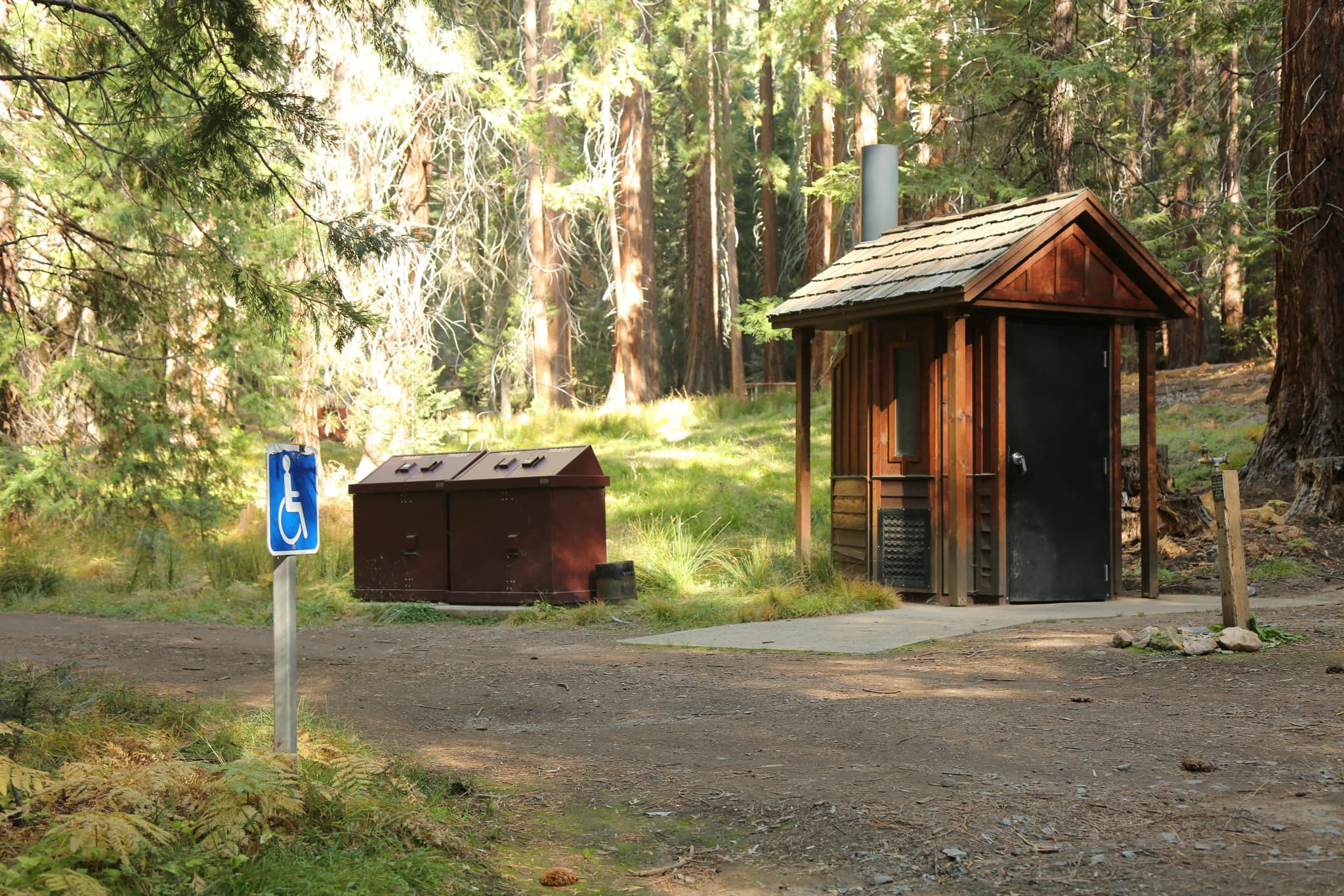
Marked by a John Muir Trail sign south of the Dog Lake parking area; the trail starts near the Tuolumne Lodge parking lot. Flush toilets.
A bridged crossing of the Dana Fork of the Tuolumne River, a short distance from the trailhead.
The two bridges at the Lyell Fork, a popular scenic destination. Three miles round trip from the trailhead.
Open grassy floor where the John Muir and Pacific Crest Trails run together, with views of the Kuna Crest and Mount Lyell.
Leaves the canyon for Ireland and Evelyn Lakes, returning down Rafferty Creek as a 22.2-mile loop.
Yosemite's southern boundary and the high point of the Pacific Crest Trail in the park. Only Donohue Pass eligible permits may cross it southbound.
30 people. Yosemite caps Donohue Pass exits at 45 a day across the two eligible trailheads and gives 30 of them to Lyell Canyon, with 15 to Happy Isles to Past LYV. Within the 30, eighteen are reservable by lottery 24 weeks in advance and twelve are released seven days out at 7 am Pacific.
It has double the quota and skips 22 miles and 5,900 feet of climbing, so on permit odds and on legs it is easier. What it skips is the part people remember: the Happy Isles trailhead at mile zero, Vernal and Nevada Falls, and the walk under the south face of Half Dome. Both permits carry you over Donohue Pass and down the rest of the trail.
Barely a hike, at first. NPS gives Twin Bridges as 3 miles round trip and mostly flat, and the full canyon as 11.4 miles round trip with 300 feet of gain. The climbing starts at the head of the canyon on the way to Donohue Pass at 11,056 feet, which most parties reach on day two or three.
At Tuolumne Meadows. A sign reading "John Muir Trail" marks it south of the Dog Lake parking area, and the trail starts near the Tuolumne Lodge parking lot. Park at the Tuolumne Meadows Wilderness Center or the Dog Lake lot. It is only reachable when Tioga Road is open.
Unpublished. Yosemite releases its wilderness lottery statistics as chart images only, with no percentages in the text, so the park states no success rate for Lyell Canyon and any figure quoted for it comes from outside NPS. The numbers you can act on are the quota — 30 a day — and the release schedule, 60% at 24 weeks and 40% at seven days.
At least four trail miles from Tuolumne Meadows, at least 100 feet from water and trail, and on durable ground rather than meadow. Campfires are prohibited above 9,600 feet. Through-hikers passing through Tuolumne Meadows may also spend one night in the backpackers' campground there without breaking the continuous-travel rule.
$10 per application and $5 per person if awarded, both non-refundable. Roughly November through April, outside the reservation season, permits are issued at permit stations with no reservation and no fee — but Tioga Road is closed then.
You lose the trip and the money. Recreation.gov's own note on this trailhead says that if you make a reservation and the road is closed, your permit is not valid and there is no refund. Tioga Road typically opens late May or early June and closes after the first significant snowfall, so early-season and late-season reservations both carry that risk.
No active conditions reported
Sign in to report trail conditions.
Evening light down the length of Lyell Canyon, when the low sun runs along the grass and the Kuna Crest goes gold on the east side.
Early morning at Twin Bridges, with the Lyell Fork still and the meadow holding mist before the sun clears the canyon wall.
The first three miles to Twin Bridges are a day-hike destination and stay busy. Past that the traffic is all through-hikers, spread thin across the day. Camp the legal four miles out and you have the canyon to yourself at both ends of the day.
Consider these alternatives if your preferred dates aren't available.
The other Donohue Pass eligible trailhead, starting at the John Muir Trail's northern terminus in Yosemite Valley.
Half the quota — 15 people a day against 30 — and 22 miles with 5,900 feet of gain before you reach Tuolumne. What you get is the classic mile-zero start and the waterfalls.
The same canyon on a permit that stays inside the park — fine for an out-and-back or the Ireland and Evelyn Lakes loop.
A much smaller quota at 6 by lottery plus 4 a week out, but a separate applicant pool. NPS marks it explicitly not eligible to exit Yosemite on the John Muir Trail.
The other Tuolumne Meadows entry onto the John Muir Trail, 7.6 miles round trip and 1,000 feet of gain into the Cathedral Range.
A 25-person quota and alpine lakes instead of meadow, but it runs north-west toward Yosemite Valley rather than south, so it cannot take you over Donohue Pass.
Also from Tuolumne Meadows, 14.4 miles round trip with 1,600 feet of gain into the lakes and peaks around Vogelsang.
A 20-person daily quota with far fewer applicants chasing it, and it links back to Lyell Canyon over Ireland and Evelyn Lakes if you want a loop.
Nearby campgrounds to complete your Lyell Canyon (Donohue Pass eligible) trip
A small favor
Google lets you pick the sites it highlights for you. Add PermitSnag and our permit pages get marked as one of yours in AI Overviews and AI Mode.
Takes less than a minute.