Reservation6/10
Great Smoky Smokies Backcountry permit
Required for all overnight camping....
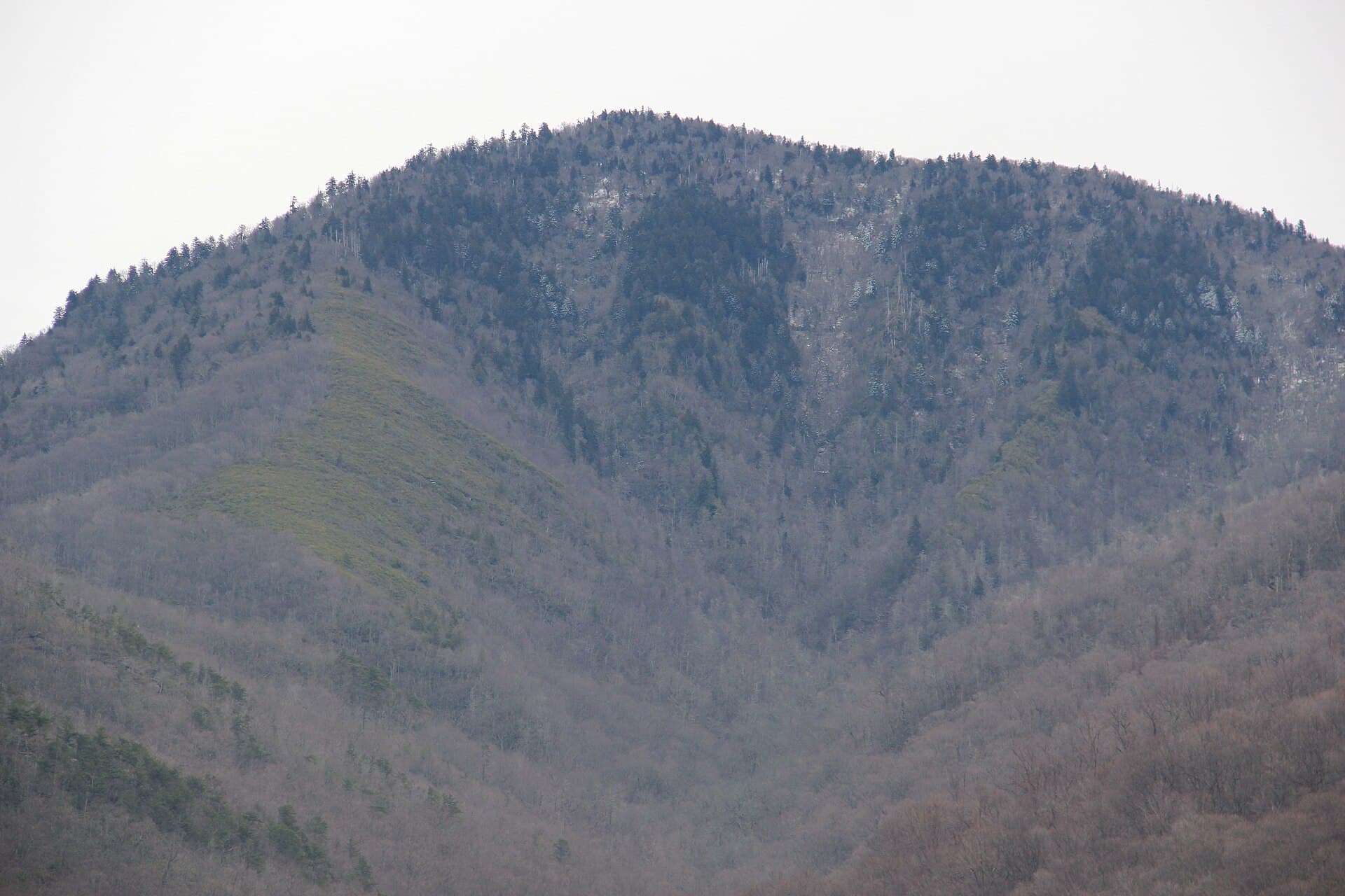
Great Smoky Mountains National Park · Tennessee
The AT shelter on top of Mount LeConte, 12 spots a night, booked as part of the park's backcountry permit.
70% of the openings our scanner caught on Mt LeConte Shelter were gone within 10 minutes.
Build your full itinerary start to finish
Add your dates and get a day-by-day plan: what needs a permit, what gear to bring, and one link to share with your whole group to coordinate every step.
No permit needed to start
Late spring through October. The summit holds rime ice for much of the winter and the Alum Cave route gets genuinely icy on the bluffs. October gives the best colour and the driest tread. Permits are available year-round.
Trailhead (5,000 ft)
Backcountry Tips
Today
73°
64°
63%
Sun
73°
62°
Mon
80°
64°
Tue
82°
60°
Wed
78°
60°
22%
Thu
77°
62°
Fri
74°
60°
28%
Sign up at Recreation.gov if you don't have an account. Have your payment info ready.
Permits typically release on a rolling basis. Check the specific release time for your desired dates.
Log in a few minutes early. Have your dates, group size, and payment ready to go.
If your dates are sold out, people cancel all the time. Set up PermitSnag alerts to catch openings instantly.
Fitness and endurance required
Climbing, scrambling, or specialized skills
Steep dropoffs and fall potential
Route finding and trail clarity
Difficulty of bailing out mid-route
Anyone with a solid day-hike in their legs. Ten miles round trip on maintained trail is the whole difficulty in summer.
Basic backpacking. The exposure rating covers the cabled bluff traverse on Alum Cave, which is short but genuinely airy when iced.
Winter parties without traction. The Alum Cave bluffs ice over and the fixed cables there are not decorative.
Great Smoky Mountains National Park requires a permit and advance reservations for all backcountry camping, and since April 30, 2026 all new permits are issued through Recreation.gov - the old smokiespermits.nps.gov portal is gone, and its domain no longer resolves. The live product is Recreation.gov permit 4675347.
The fee is $8 per person per night plus a new $6 non-refundable permit fee, and the previous $40 cap has been removed, so there is no maximum total permit cost. Permits may be obtained up to one month in advance of the first night of your trip, and the maximum on a single permit is seven nights.
The shelter rules are what distinguish this from a campsite booking. Backpackers with itineraries that include shelters are required to stay inside the shelter. You may not stay consecutive nights at any shelter - where backcountry campsites allow up to three consecutive nights, a shelter is one night and you move on. Maximum party size is 8. All odorous items - food, trash, lip balm, toothpaste, stock feed - must be hung on the bear cable system at each campsite or shelter.
Mount Le Conte is 6,593 feet, the third highest peak in the park. Five trails reach it, and the park publishes round-trip distances for each: Alum Cave 10 miles, Rainbow Falls 13, Trillium Gap 13, Bullhead 13.6, and the Appalachian Trail plus the Boulevard 16.2. It publishes no elevation gain for any of them. LeConte Lodge, at 6,360 feet west of the summit, is a separate private reservation and has nothing to do with your backcountry permit.
Two current notes. The Bullhead Trail has been closed Monday through Thursday each week since May 4, 2026, excluding federal holidays, through November 19. And the park's closures page lists the Trillium Gap Trail under bear warnings - areas where bears are active and extreme caution should be used.
One thing we will not repeat: search results widely claim the LeConte Shelter is closed for aggressive bear activity. That claim appears on no agency page, including the park's closures list updated three days before we checked, and the shelter's capacity is not published anywhere either. If you are planning around it, call the Backcountry Office on 865-436-1297.
Mount Le Conte is 6,593 feet, the third highest peak in Great Smoky Mountains National Park, and five different trails climb it. The shelter near the summit is the only way to spend a night up there without a reservation at LeConte Lodge, which is a separate private booking on the same mountain.
The park publishes round-trip distances for all five routes to the summit: Alum Cave at 10 miles, Rainbow Falls at 13, Trillium Gap at 13, Bullhead at 13.6, and the Appalachian Trail via the Boulevard at 16.2. Alum Cave is the shortest and by far the busiest. The park publishes no elevation gain for any of them.
The shelter itself has one rule that catches people out: you may not stay consecutive nights at any shelter. Backcountry campsites allow up to three consecutive nights, shelters allow one. And if your itinerary includes a shelter, you are required to stay inside it rather than pitch a tent alongside.
Spruce-fir forest at the top of the southern Appalachians, usually in cloud, with rime ice on the trees for a good part of the year. Come up Alum Cave through the arch and past the bluffs, and the last mile changes the weather entirely.
On Newfound Gap Road, US 441. NPS calls this the shortest of the five routes at 10 miles roundtrip; the lodge operator calls it the steepest and most popular.
NPS says to expect extreme crowding and limited parking and to consider a shuttle. A parking tag is required to park in the Smokies for more than 15 minutes.
Pit toilets at the Alum Cave Trailhead parking area.
On Cherokee Orchard Road. NPS gives 13 miles roundtrip, passing Rainbow Falls approximately 2.2 miles from the trailhead.
NPS says to expect extreme crowding and limited parking. Parking tag required.
Pit toilets here. NPS advises that in high water conditions you consider Bullhead Trail to Mount Le Conte instead.
On the one-way Roaring Fork Motor Nature Trail. NPS gives 13 miles roundtrip out and back on Trillium Gap Trail. The lodge operator says some people find this the easiest route, because it is the trail the llamas use to bring supplies up and is not as steep as the others.
NPS says to expect extreme crowding and limited parking. Parking tag required.
NPS gives the nearest restroom as the Rainbow Falls Trailhead, before you enter the one-way Roaring Fork Motor Nature Trail.
On Cherokee Orchard Road. NPS gives 13.6 miles roundtrip and says to follow the Old Sugarlands Trail four-tenths of a mile from the parking area to the Bullhead Trail junction on the left.
Pit toilets at Rainbow Falls Trailhead. Parking tag required.
Bullhead Trail is closed Monday through Thursday each week from May 4 to November 19, 2026 for the Bullhead Rehabilitation Project.
On US 441. NPS calls this the longest of the five at 16.2 miles roundtrip: hike 2.7 miles on the Appalachian Trail from the trailhead left of the overlook to the Boulevard Trail junction, then on to the summit.
NPS says to expect extreme crowding and limited parking. Parking tag required.
NPS publishes no starting elevation for this route. The lodge operator, not the Park Service, gives 5,048 feet and warns you are exposed to high-elevation weather the whole way.
Required and recommended gear for Mt LeConte Shelter
Trailhead transportation options
Browse all shuttlesExperienced wilderness guides
Browse all guidesSome links may be affiliate links. Purchases support PermitSnag at no extra cost to you.
The shortest route at 10 miles round trip, and the busiest trail on the mountain.
The third highest peak in Great Smoky Mountains National Park.
West of the summit at 6,360 feet, predating the park's 1934 establishment. A separate private reservation, not part of your backcountry permit.
13 miles round trip, and the route the llamas use to resupply the lodge.
Yes. Great Smoky Mountains National Park requires a permit and advance reservations for all backcountry camping, issued through Recreation.gov since April 30, 2026. It costs $8 per person per night plus a $6 non-refundable permit fee, and there is no longer a $40 cap on the total.
One. The park's rule is that you may not stay consecutive nights at any shelter. Backcountry campsites allow up to three consecutive nights, but shelters do not - you spend a night and move on.
No. The park requires backpackers whose itineraries include shelters to stay inside the shelter.
It depends which of the five trails you take. The park publishes round-trip distances of 10 miles via Alum Cave, 13 via Rainbow Falls, 13 via Trillium Gap, 13.6 via Bullhead, and 16.2 via the Appalachian Trail and the Boulevard. Alum Cave is the shortest and busiest. The park publishes no elevation gain figures for any of them.
No. LeConte Lodge sits west of the summit at 6,360 feet, predates the park's 1934 establishment, and takes its own advance reservations through its own operator. It is not part of the national park's backcountry permit system.
6,593 feet, which makes it the third highest peak in Great Smoky Mountains National Park.
No active conditions reported
Sign in to report trail conditions.
No questions yet
Be the first to ask about Mt LeConte Shelter.
No trip reports yet
Be the first to share your experience at Mt LeConte Shelter.
Write the First ReportNear the summit the best views are at Cliff Top and Myrtle Point, both marked with signs.
NPS puts Mount LeConte at 6,593 feet and the lodge at 6,360 feet, high enough that the ridge lines coming out of cloud are usually the picture.
The lodge operator says quieter times on the mountain are the bookends of the season, or May and September while schools are in session, and that high-traffic days include most weekends, holidays, summer months and the autumn leaf change in October. It also calls Alum Cave the shortest and most popular hike, so the other four routes reach the same summit with less company.
Consider these alternatives if your preferred dates aren't available.
The park's general backcountry permit, covering every designated campsite and shelter.
Same fees and rules, with campsites allowing up to three consecutive nights instead of the shelter's one.
Shenandoah's rock-scramble circuit, a day hike on a ticketed permit.
Day use rather than overnight, at $2 a head - but a real scramble rather than a walk, and the ticket is capped at 800 people a day.
High camps on Colorado's Longs Peak, topping out at the Boulderfield at 12,760 feet.
Twice the altitude and a flat $36 per trip instead of per person - and a summit route the park classifies as a climb.
Nearby campgrounds to complete your Mt LeConte Shelter trip
 Very HardIn Demand16 sites
Great Smoky Mountains National Park
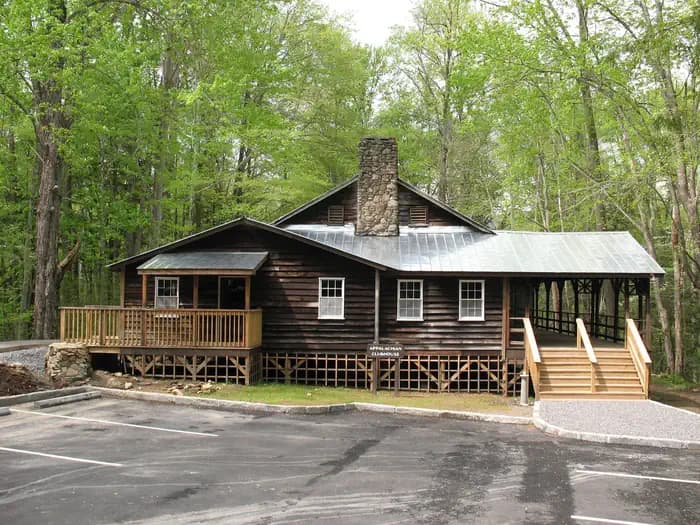 Very HardIn Demand1 sites
Great Smoky Mountains National Park
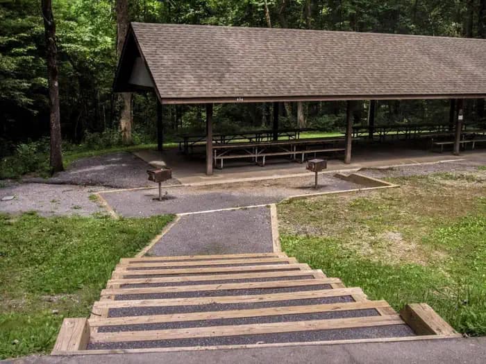 Very HardIn Demand2 sites
Great Smoky Mountains National Park
A small favor
Google lets you pick the sites it highlights for you. Add PermitSnag and our permit pages get marked as one of yours in AI Overviews and AI Mode.
Takes less than a minute.