Walk-Up7/10
GSENM Neon Canyon / Golden Cathedral permit
Home to the famous Golden Cathedral. Free overnight permit required....
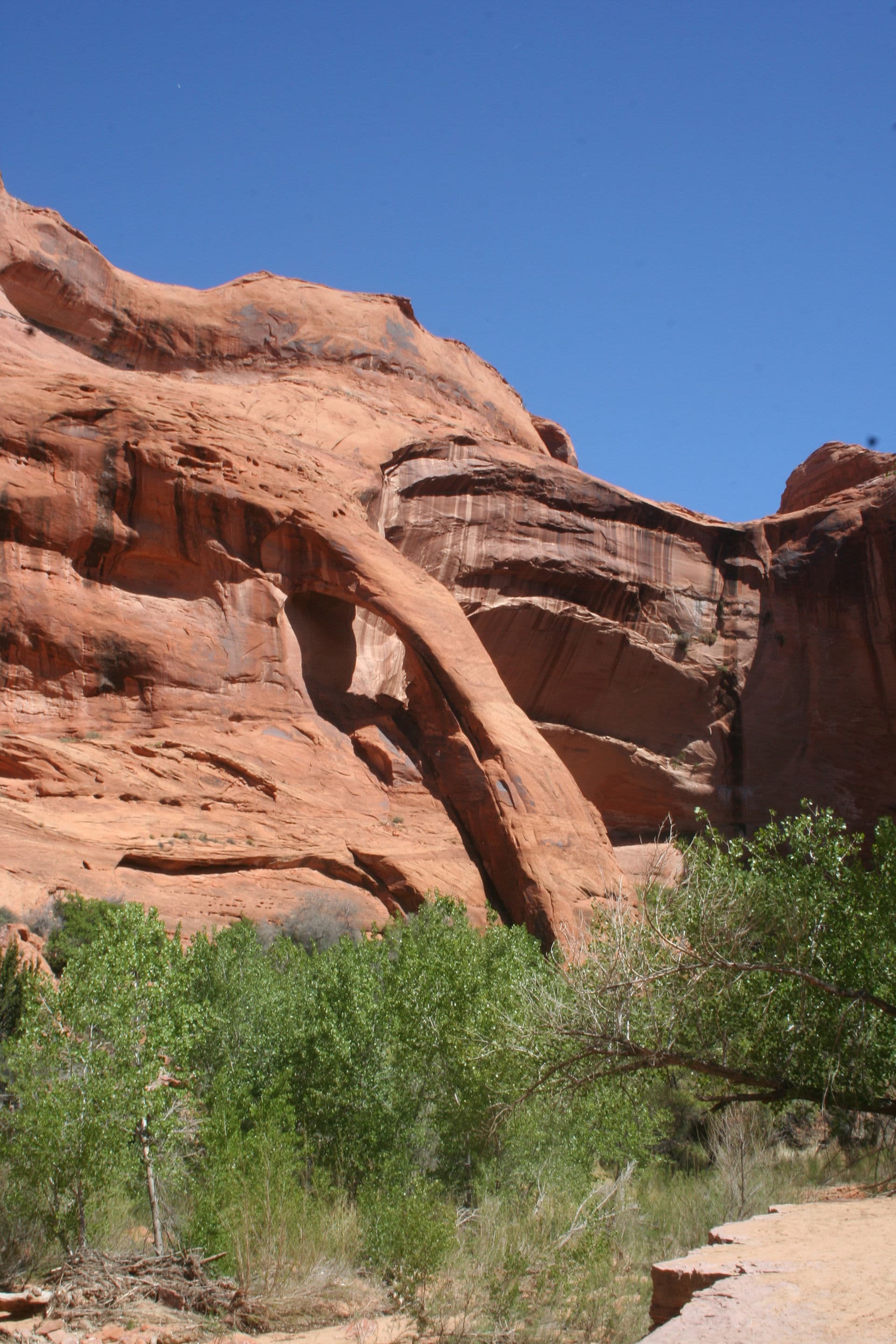
Grand Staircase-Escalante National Monument
One of the most spectacular canyon backpacking routes in Utah. Free permit required.
“Walk through an impossible desert canyon where natural bridges span 130 feet overhead and waterfalls pour into swimming holes under a ribbon of sky.”
Coyote Gulch is issued by the agency rather than through a booking calendar. Their page has the current process and any dates.
Official permit pagePlanning another trip? See the permits we watch.
Coyote Gulch is issued by the agency rather than through a booking calendar. Their page has the current process and any dates.
Official permit pagePlanning another trip? See the permits we watch.
Build your full itinerary start to finish
Add your dates and get a day-by-day plan: what needs a permit, what gear to bring, and one link to share with your whole group to coordinate every step.
No permit needed to start
You get this permit in person at the trailhead or ranger station, or by phone. There is no online reservation to race for, so availability alerts do not apply. We still track key dates and season info for your trip.
Official permit page →March-May and September-November. Spring brings waterfalls at peak flow. Summer is hot but swimmable pools provide relief. Winter is cold but beautiful.
Trailhead (4,050 ft)
Today
88°
67°
28%
Mon
86°
65°
Tue
85°
70°
Wed
86°
67°
Thu
75°
65°
27%
Fri
83°
65°
Sat
84°
67°
This permit is not sold online. Confirm where and when it is issued — and any fee — at Bureau of Land Management before your trip.
Walk-up permits are issued first-come, first-served, and quotas can fill early on weekends and holidays.
Popular trailheads may be full. Know alternative routes or dates in case your first choice is unavailable.
Fitness and endurance required
Climbing, scrambling, or specialized skills
Steep dropoffs and fall potential
Route finding and trail clarity
Difficulty of bailing out mid-route
Backpackers seeking world-class canyon scenery with moderate physical challenge.
Basic backpacking. Desert navigation helpful but not required.
Those who need well-marked trails. Anyone without high-clearance vehicle for access.
Coyote Gulch is the premier canyon backpacking route in Grand Staircase-Escalante National Monument. The canyon contains Jacob Hamblin Arch, Coyote Natural Bridge, Cliff Arch, and Stevens Arch along with waterfalls, swimming holes, and sculpted sandstone.
A free permit is required for overnight camping and is obtained by self-registration at trailheads or the Escalante Interagency Visitor Center. No quotas, no fees, no reservations.
Coyote Gulch contains more natural arches, bridges, and dramatic features per mile than almost any other canyon in the Southwest. Jacob Hamblin Arch, Coyote Natural Bridge, and Cliff Arch create a highlight reel that would be the centerpiece of any other hike. Here, they're just part of the journey.
Most hikers enter via Hurricane Wash or Red Well Trailhead, dropping into the canyon system before reaching Coyote Gulch proper. The route follows the streambed downstream, passing major features in sequence.
Jacob Hamblin Arch appears first, a massive span high on the canyon wall. Coyote Natural Bridge follows, stretching 130 feet across the wash. Cliff Arch clings to the canyon rim. Stevens Arch waits near the confluence with the Escalante River.
Camping is permitted anywhere below the rim, but the sandy benches near the bridges and the alcoves below Cliff Arch are favorites. The free permit (self-registration) allows multi-day exploration.
The canyon walls curve overhead like frozen waves. A waterfall appears around the bend, pouring into a pool that glows turquoise in the reflected light. You duck under a natural bridge 130 feet above your head, then another. Each bend reveals something new. After 15 miles, you'll still be surprised.
Required and recommended gear for Coyote Gulch
Trailhead transportation options
Browse all shuttlesExperienced wilderness guides
Browse all guidesSome links may be affiliate links. Purchases support PermitSnag at no extra cost to you.
Emergency contacts, ranger station locations, and satellite communicator tips for Coyote Gulch.
Bear canister requirements, approved container lists, and rental locations for this permit.
Coyote Gulch is not sold online. It is issued in person or by phone, so there is no reservation to book and no cancellation to catch. PermitSnag does not send alerts for it — check the official permit page for the current process.
Check with the managing agency for current season dates. Weekdays generally have better availability than weekends.
This permit has a demand score of 8/10, making it highly competitive. We recommend having backup dates and reading the official permit page for how this one is issued.
On this permit there is no cancellation queue and no alert to set, because nothing is re-released onto a calendar we could watch. Bring backup dates, and check the official permit page for the current process and any closures.
No active conditions reported
Sign in to report trail conditions.
The natural bridges photograph best in early morning when light penetrates the canyon. Jacob Hamblin Arch catches afternoon light beautifully.
Mid-morning for bridges when soft light fills the canyon. Sunset for arch silhouettes against the sky.
Weekday visits see far fewer people. Spring and fall weekends are busy but manageable.
Consider these alternatives if your preferred dates aren't available.
Shorter canyon with the famous Golden Cathedral light beam formation.
Single iconic feature vs. Coyote Gulch's many. Day trip possible.
Tight slot canyons that can be combined as a day hike or overnight.
Technical slots vs. Coyote's open canyon. Different experience.
Nearby campgrounds to complete your Coyote Gulch trip
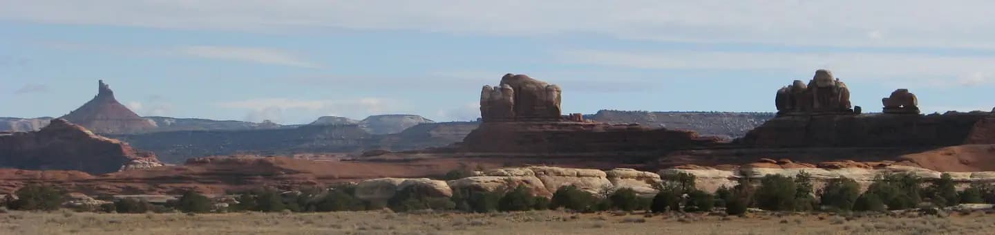 Very HardIn Demand26 sites
Canyonlands National Park
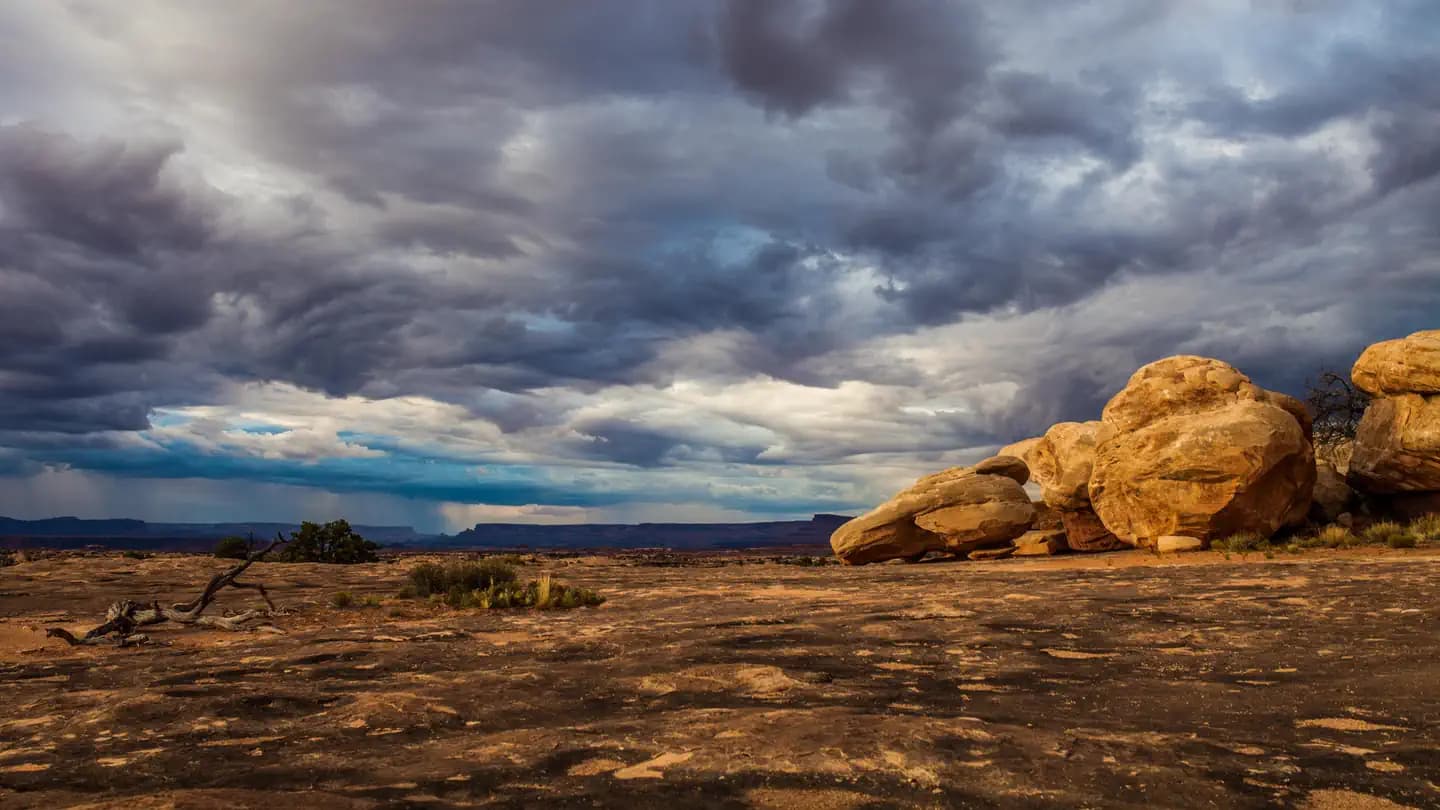 Very HardIn Demand3 sites
Canyonlands National Park
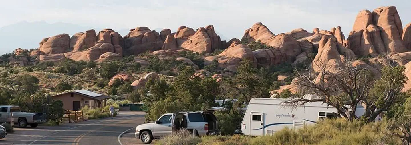 Very HardIn Demand57 sites
Arches National Park
A small favor
Google lets you pick the sites it highlights for you. Add PermitSnag and our permit pages get marked as one of yours in AI Overviews and AI Mode.
Takes less than a minute.