Walk-Up8/10
Mt. Hood Timberline Trail permit
Circle Oregon's most iconic peak on a 41-mile loop through alpine meadows, past ...
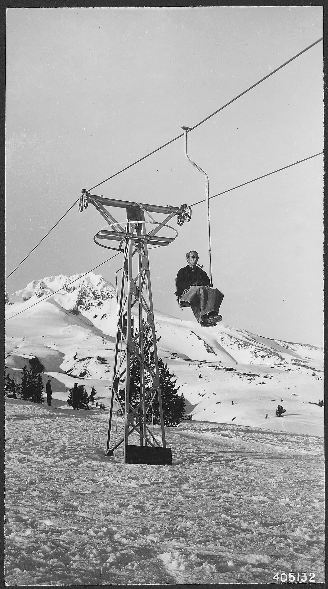
Dramatic viewpoint and historic stone shelter with close-up views of Mount Hood's glaciers.
“A stone shelter on a shoulder of Mount Hood, looking out over the watershed that supplies Portland its drinking water.”
McNeil Point is issued by the agency rather than through a booking calendar. Their page has the current process and any dates.
Official permit pagePlanning another trip? See the permits we watch.
McNeil Point is issued by the agency rather than through a booking calendar. Their page has the current process and any dates.
Official permit pagePlanning another trip? See the permits we watch.
Build your full itinerary start to finish
Add your dates and get a day-by-day plan: what needs a permit, what gear to bring, and one link to share with your whole group to coordinate every step.
No permit needed to start
You get this permit in person at the trailhead or ranger station, or by phone. There is no online reservation to race for, so availability alerts do not apply. We still track key dates and season info for your trip.
Official permit page →After the melt-out, which the Forest Service says often runs through June. That makes July through September the practical window. Earlier than that and you should be carrying traction and expecting to navigate across snow.
This permit is not sold online. Confirm where and when it is issued — and any fee — at U.S. Forest Service before your trip.
Walk-up permits are issued first-come, first-served, and quotas can fill early on weekends and holidays.
Popular trailheads may be full. Know alternative routes or dates in case your first choice is unavailable.
Under snow. The Forest Service says this trail often takes until the end of June to melt out.
Fitness and endurance required
Climbing, scrambling, or specialized skills
Steep dropoffs and fall potential
Route finding and trail clarity
Difficulty of bailing out mid-route
Hikers already committed to a long day on the Timberline Trail who want the best north-side view on the mountain.
Comfort on steep snow if you go before July, and the navigation to follow a trail that is partly buried.
Early-season hikers without traction — the Forest Service is explicit about the drifts.
McNeil Point is a stone shelter on the northwest side of Mount Hood, reached by a short trail off the Timberline Trail. Mt. Hood National Forest describes the payoff as excellent views of the Bull Run watershed and the surrounding mountains to the north.
The Forest Service publishes one persistent warning about it: this is a high-elevation trail that can take a long time to melt out for summer hiking, often through June. It tells hikers to come prepared to run into deep snow drifts here and there, and recommends snowshoes or other snow traction devices until the trail is clear.
Access is from the north side of the mountain via Lolo Pass Road. Mt. Hood National Forest publishes no permit requirement on this trail's page. It does state, on its Ramona Falls page, that free self-issued wilderness permits are required in the Mount Hood Wilderness from May 15 to October 15 where they are provided at a portal — so fill one out if there is a box at whichever trailhead you start from, and expect a Recreation Pass requirement at the trailhead as at other Mt. Hood sites.
Mt. Hood National Forest describes McNeil Point Trail as a short hike from the Timberline Trail up to the McNeil Point Shelter, with excellent views of the Bull Run watershed and the surrounding mountains to the north. The shelter is the destination, and the Bull Run is the view you cannot get any other way — the watershed is closed to public entry.
The Forest Service is specific about the shape of this one: the trail begins at the Timberline Trail and ends at McNeil Point. It is the last section of a longer day rather than a standalone trail from a parking lot.
It is also a high-elevation trail that can take a long time to melt out for summer hiking, often through June. The Forest Service tells hikers to come prepared to run into deep snow drifts here and there, and recommends snowshoes or other snow traction devices until it is clear.
Access is from the north side of the mountain: Highway 26 east towards Zigzag, north onto Lolo Pass Road / Forest Road 18 for about four miles, east onto Muddy Fork Road, east onto Forest Road 1825 and north into the McNeil Campground area.
High, open, and late-melting. Snow drifts hang on in shaded pockets here long after the rest of the mountain has dried out.
Required and recommended gear for McNeil Point
Trailhead transportation options
Browse all shuttlesExperienced wilderness guides
Browse all guidesSome links may be affiliate links. Purchases support PermitSnag at no extra cost to you.
Where McNeil Point Trail begins. This is not a trail you reach directly from a parking lot.
The destination. Mt. Hood National Forest: excellent views of the Bull Run watershed and the surrounding mountains to the north.
Emergency contacts, ranger station locations, and satellite communicator tips for McNeil Point.
Bear canister requirements, approved container lists, and rental locations for this permit.
Mt. Hood National Forest publishes no permit requirement on the McNeil Point Trail page itself. It does state, on its Ramona Falls Trail page, that free self-issued wilderness permits are required in the Mount Hood Wilderness from May 15 to October 15 when provided at a portal, so fill one out if there is a box at the trailhead you start from. Expect a Recreation Pass requirement for parking, as at other Mt. Hood trailheads.
Often not until the end of June. Mt. Hood National Forest describes it as a high-elevation trail that can take a long time to melt out for summer hiking, and tells hikers to come prepared to run into deep snow drifts here and there, recommending snowshoes or other snow traction devices until it is clear.
Mt. Hood National Forest describes excellent views of the Bull Run watershed and the surrounding mountains to the north. The Bull Run is Portland's drinking water supply and is closed to public entry, so this is one of the few vantage points over it.
From Portland: east on Highway 26 towards Zigzag, north onto Lolo Pass Road / Forest Road 18 for about four miles, east onto Muddy Fork Road, east onto Forest Road 1825, then north into the McNeil Campground area. The McNeil Point Trail itself begins up at the Timberline Trail.
No active conditions reported
Sign in to report trail conditions.
No questions yet
Be the first to ask about McNeil Point.
Evening from the shelter, looking north over the Bull Run watershed.
Clear autumn mornings, when the haze is gone and the northern peaks stack up behind the watershed.
The approach length filters most people out. Weekdays, and before the Timberline Trail crowd is moving.
Consider these alternatives if your preferred dates aren't available.
A 7-mile loop with 1,000 feet of gain to a waterfall over columnar basalt, on the same side of the mountain.
Far less climbing and no snow problem, but an unbridged glacial river crossing.
Alpine meadows on the southwest flank, reached by Trail #778 with about 2,960 feet of climbing.
A different aspect of the mountain and a trail that melts out earlier.
The full loop around Mount Hood, which is how you reach McNeil Point in the first place.
A multi-day trip with glacial river crossings instead of a single long day.
Nearby campgrounds to complete your McNeil Point trip
A small favor
Google lets you pick the sites it highlights for you. Add PermitSnag and our permit pages get marked as one of yours in AI Overviews and AI Mode.
Takes less than a minute.