Walk-Up8/10
Mt. Hood Timberline Trail permit
Circle Oregon's most iconic peak on a 41-mile loop through alpine meadows, past ...
Popular day hike or overnight to scenic 120-foot mossy waterfall on Mount Hood.
“A seven-mile loop to a waterfall that fans down a wall of columnar basalt — with an unbridged glacial river in the middle of it that the Forest Service says will never be bridged.”
Ramona Falls is issued by the agency rather than through a booking calendar. Their page has the current process and any dates.
Official permit pagePlanning another trip? See the permits we watch.
Ramona Falls is issued by the agency rather than through a booking calendar. Their page has the current process and any dates.
Official permit pagePlanning another trip? See the permits we watch.
Build your full itinerary start to finish
Add your dates and get a day-by-day plan: what needs a permit, what gear to bring, and one link to share with your whole group to coordinate every step.
No permit needed to start
You get this permit in person at the trailhead or ranger station, or by phone. There is no online reservation to race for, so availability alerts do not apply. We still track key dates and season info for your trip.
Official permit page →The trailhead gate opens April 1, though snow can delay it, and the Recreation Pass requirement runs through October 31. Early season means high, cold water at the crossing; late summer and early autumn generally mean the lowest, most manageable flow. Cross in the morning either way.
Trailhead (5,000 ft)
Backcountry Tips
Today
53°
38°
81%
Sun
40°
34°
31%
Mon
58°
36°
Tue
60°
38°
Wed
61°
41°
Thu
66°
44°
Fri
71°
48°
This permit is not sold online. Confirm where and when it is issued — and any fee — at U.S. Forest Service before your trip.
Walk-up permits are issued first-come, first-served, and quotas can fill early on weekends and holidays.
Popular trailheads may be full. Know alternative routes or dates in case your first choice is unavailable.
Gate opens April 1 if snow allows. The Sandy River runs high on snowmelt.
Fitness and endurance required
Climbing, scrambling, or specialized skills
Steep dropoffs and fall potential
Route finding and trail clarity
Difficulty of bailing out mid-route
Day hikers comfortable fording a cold, fast river without a bridge.
Experience judging a river crossing, or the willingness to turn around at one.
Children and pets — the Forest Service says so directly, because of the crossing.
Ramona Falls is a 7-mile round trip into the Mount Hood Wilderness on the Mt. Hood National Forest, gaining about 1,000 feet over the 3.5 miles to the falls. The Forest Service classifies it as challenging and does not recommend it for children or pets.
Two things are required. Free, self-issued wilderness permits are required from May 15 to October 15 where they are provided at a portal — the box is on the way in, and you fill one out and keep half. A valid Recreation Pass is required at Ramona Falls Trailhead from May 1 to October 31, or you pay $5 per vehicle per day.
The gate to the trailhead opens April 1 but may open later depending on snow, and the road in is very rough enough that the Forest Service strongly recommends a high-clearance vehicle. Check the forest's current conditions page rather than assuming; this is a road and a river crossing whose state changes.
Mt. Hood National Forest describes the Sandy River, a designated Wild and Scenic River, as a dramatic example of what a glacial-fed river can do to a landscape, with physical signs of a volcanic debris flow from over 200 years ago visible where the trail runs near it. The crossing is not an inconvenience on the way to the falls; it is the point of the place.
From the Ramona Falls Trailhead you take the Sandy River Trail one mile eastward to where it crosses the Sandy River. The Forest Service is unambiguous: there is no bridge, nor will one be installed. The Pacific Crest Trail #2000 overlaps with Ramona Falls for a couple of miles in this area.
Hikers can choose either direction around the loop — the Forest Service says it is about the same distance either way — while equestrians going to Ramona Falls stay on the southern side of the loop above the Sandy River. Overall the route is a gentle climb gaining 1,000 feet over the 3.5 miles to the falls, for a 7-mile round trip.
The two things that catch people are the crossing and the sun. Mt. Hood National Forest warns that there are large sections with no tree cover and to come prepared with sun protection and plenty of water, and separately that the trail is considered challenging and is not recommended for children and pets.
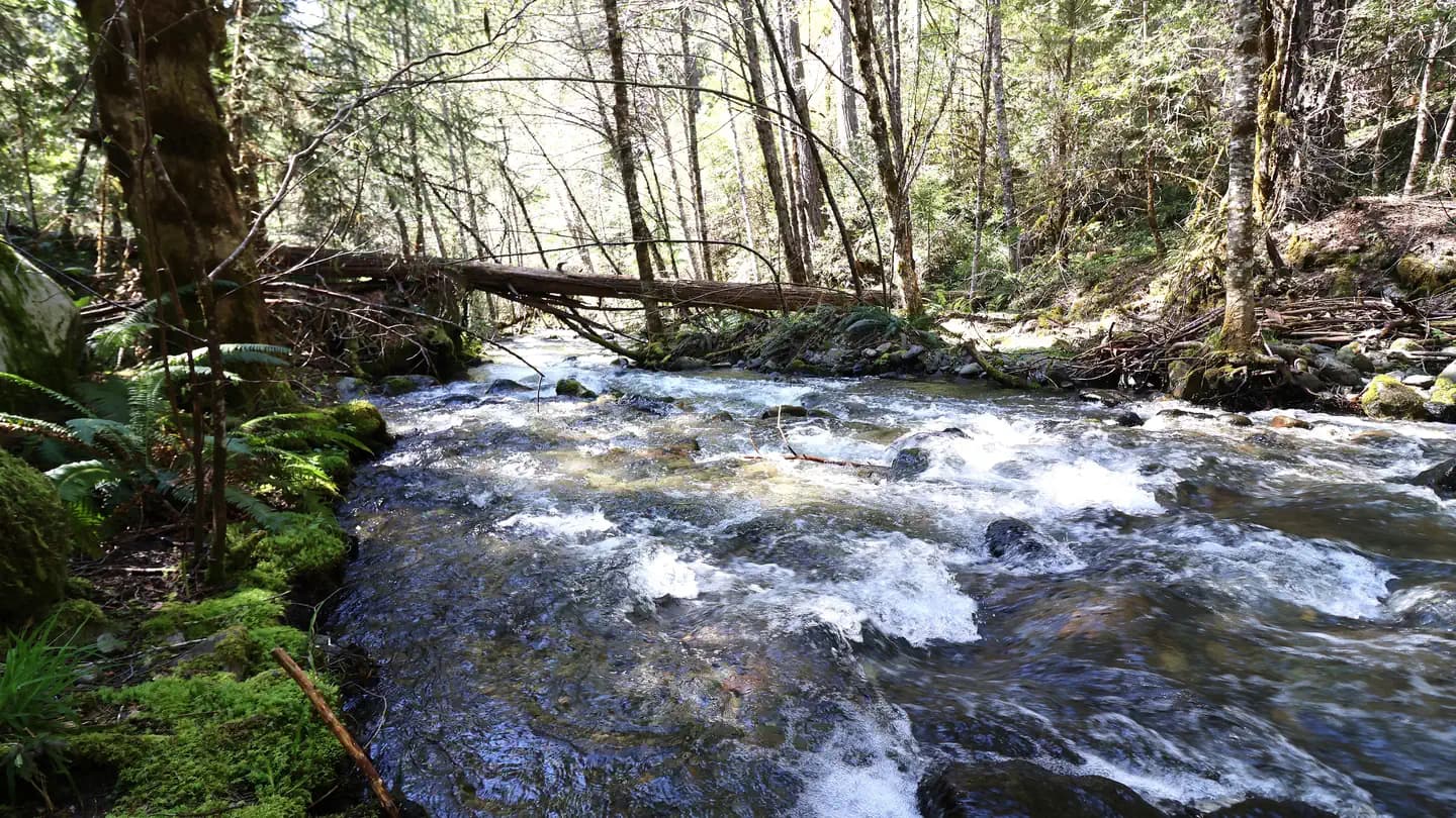
Open, sunbaked stretches with no tree cover, then the Sandy River braided across gravel, then a cool green side canyon and Ramona Falls spreading over the basalt at the end of it.
The access for the Ramona Falls loop, which enters the Mount Hood Wilderness. PCT #2000 overlaps the route for a couple of miles.
A valid Recreation Pass is required from May 1 to October 31, or $5 per vehicle per day.
The gate opens April 1 but may open later due to snow, and the road to the trailhead is very rough — Mt. Hood National Forest strongly recommends high-clearance vehicles.
Zigzag, Oregon.
Required and recommended gear for Ramona Falls
Trailhead transportation options
Browse all shuttlesExperienced wilderness guides
Browse all guidesSome links may be affiliate links. Purchases support PermitSnag at no extra cost to you.
Emergency contacts, ranger station locations, and satellite communicator tips for Ramona Falls.
Bear canister requirements, approved container lists, and rental locations for this permit.
Yes, but it is free. Mt. Hood National Forest requires free, self-issued wilderness permits from May 15 to October 15 where they are provided at a portal — you fill one out at the box and carry your half. Separately, a valid Recreation Pass is required at Ramona Falls Trailhead from May 1 to October 31, or $5 per vehicle per day.
Seven miles round trip. Mt. Hood National Forest describes the route as a gentle climb gaining 1,000 feet over the 3.5 miles to the falls, and says the loop is about the same distance in either direction.
No. The Forest Service states plainly that there is no bridge, nor will one be installed. Hikers must cross a glacial river with strong currents one mile in from the trailhead, and the Forest Service advises using extreme caution and knowing when to turn around.
Mt. Hood National Forest says it is not recommended for children and pets, because of the unbridged glacial river crossing. The trail is otherwise a gentle grade.
The gate opens April 1, but the Forest Service notes it may open later due to snow. The road to the trailhead is very rough and high-clearance vehicles are strongly recommended.
No active conditions reported
Sign in to report trail conditions.
No questions yet
Be the first to ask about Ramona Falls.
The falls hold soft light all day because of the canyon — the golden-hour shot here is the Sandy River braid, not the waterfall.
Overcast. The falls fan across dark basalt and blow out badly in direct sun.
Start early. It also gets you the lower river flow, so the two problems have the same solution.
Consider these alternatives if your preferred dates aren't available.
An alpine meadow with a view of Mount Hood, reached by Paradise Park Trail #778 from Forest Road 2639-021.
A much bigger climb and no river ford. A Recreation Pass is required at that trailhead too, May 1 to October 31.
A short hike off the Timberline Trail to the stone shelter, with views over the Bull Run watershed.
Higher, later to melt out — often through June — and no river to cross.
The Sandy River drops as glacial melt slows, which is the single biggest variable on this hike.
Shorter days, and the self-issue permit portal comes out on October 15.
Nearby campgrounds to complete your Ramona Falls trip
A small favor
Google lets you pick the sites it highlights for you. Add PermitSnag and our permit pages get marked as one of yours in AI Overviews and AI Mode.
Takes less than a minute.