Reservation7/10
Black Canyon South Rim Wilderness cancellations
One permit, one route, one entry date. Pick Gunnison or Warner, drop up to 2,722...
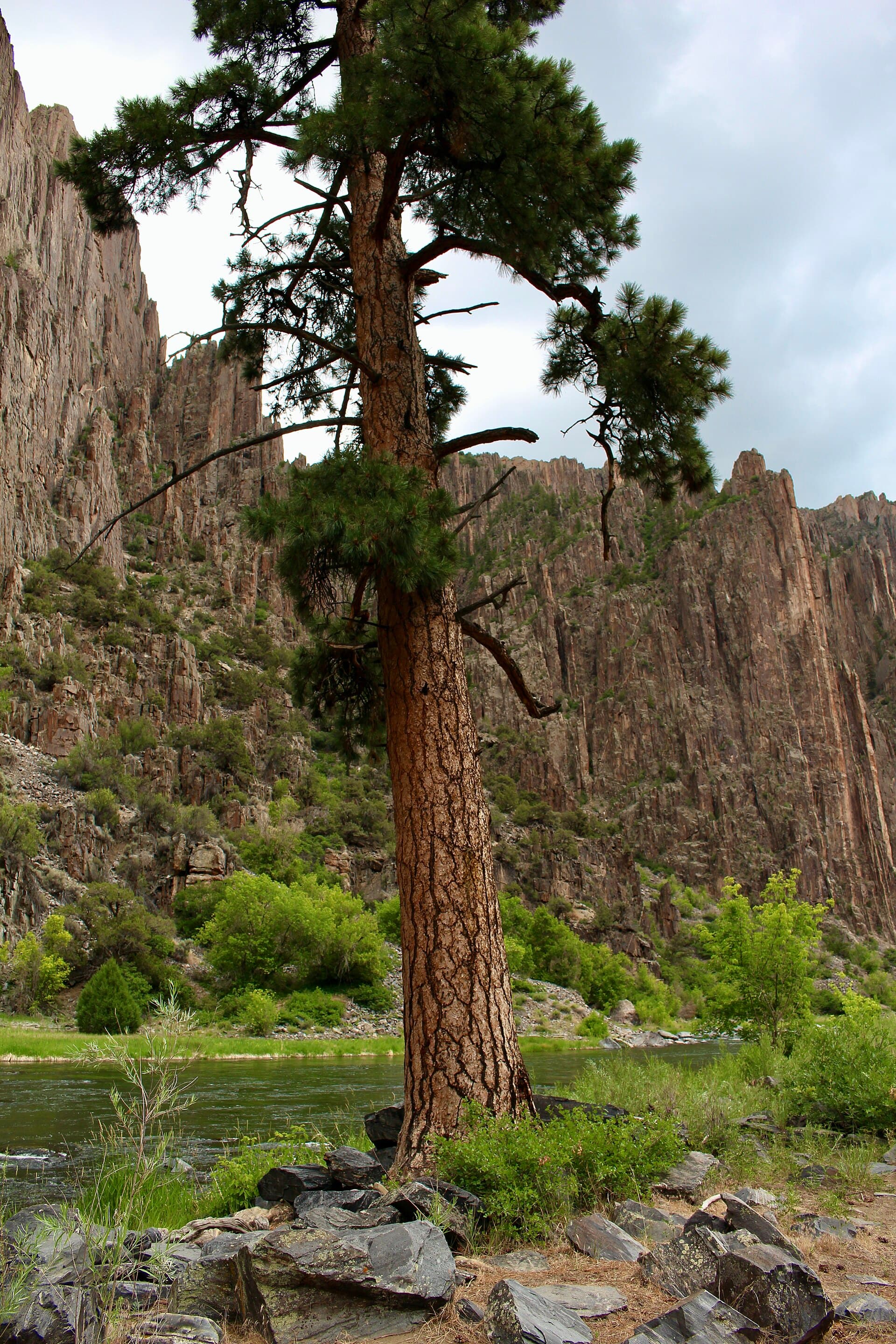
Black Canyon of the Gunnison National Park · Colorado
The gentlest way to the Gunnison River inside the park, and the smallest quota. Eight people a day, four permits, two nights maximum.
70% of the openings our scanner caught on Red Rock Canyon were gone within 5 minutes.
Build your full itinerary start to finish
Add your dates and get a day-by-day plan: what needs a permit, what gear to bring, and one link to share with your whole group to coordinate every step.
No permit needed to start
Late August through October. Snowmelt can make fishing and even approaching the river impossible earlier in the reservation season, and flooding is possible from mid-May to mid-July.
Trailhead (5,000 ft)
Backcountry Tips
Today
71°
51°
53%
Fri
69°
51°
36%
Sat
74°
51°
Sun
72°
55°
21%
Mon
65°
51°
80%
Tue
59°
43°
80%
Wed
67°
45°
30%
Sign up at Recreation.gov if you don't have an account. Have your payment info ready.
Permits typically release on a rolling basis. Check the specific release time for your desired dates.
Log in a few minutes early. Have your dates, group size, and payment ready to go.
If your dates are sold out, people cancel all the time. Set up PermitSnag alerts to catch openings instantly.
High water. Depending on snowpack and melt-off, fishing and even approaching the river may not be possible.
Fitness and endurance required
Climbing, scrambling, or specialized skills
Steep dropoffs and fall potential
Route finding and trail clarity
Difficulty of bailing out mid-route
Anglers and hikers who want to reach the Gunnison River without downclimbing a scree gully, and who do not mind wet feet.
Basic route finding. There is no marked trail and the creek crossings hide the line.
Anyone highly sensitive to poison ivy, or anyone planning more than two nights.
Red Rock Canyon sits in designated wilderness on the southwest side of Black Canyon of the Gunnison and is reserved separately from the South Rim routes. The route is 3.5 miles one way and drops 1,300 vertical feet to the Gunnison River, gradually rather than by scree gully, which is why anglers use it and why hikers pick it as an alternative to the steeper routes.
The quota is the smallest in the park: a maximum of 8 users per day and 4 permits or groups per day, with a group size limit of 4 and a maximum of 2 nights. Peak season reservations open in two windows at 8:00 am Mountain Time, April 1 for May 1 to July 31 and July 1 for August 1 to October 31. From November through April permits are first-come first-served outside the South Rim Visitor Center.
Every other way into the Black Canyon is a scramble down a scree gully. Red Rock Canyon is a walk. That makes it the anglers' route and the one hikers pick when they want the river without the 2,722 foot descent, and the park protects it with the smallest quota in the park: 8 users and 4 groups per day.
From the Red Rock Canyon parking area on Bostwick Park Road the route begins on a two-track dirt road for the first mile to the trailhead proper. From there it follows a shallow creek down into the canyon.
The route is 3.5 miles one way and gradually drops 1,300 vertical feet to the Gunnison River. It is not marked and not maintained, and numerous stream crossings can make finding the route a challenge. The lower third is thick with poison ivy, which is the thing people underestimate.
At the river campsites become visible upstream and downstream. Use the smallest site that fits your group and vacate by 11 am on the day you hike out so the next group can find a spot.
The first mile is an old double-track through ranch country and then the canyon takes over. The creek crosses under your boots again and again, poison ivy comes up shoulder high in places, and then the walls open and the Gunnison is right there, wide and green and cold, with campsites scattered up and down the bank.
The only access. Small lot at the end of 5.6 miles of dirt on Bostwick Park Road.
No water at the trailhead. Bring one liter per person for each hour of hiking or treat Gunnison River water upstream of the canyon route. Do not use the water flowing along the trail, which may contain harmful bacteria.
One vehicle per group is included with the permit. Display the permit number on the dashboard as your parking pass.
From US Highway 50 turn north on State Route 347, drive about 1.8 miles to a flat area with ranches, turn left onto Bostwick Park Road, and follow the dirt road about 5.6 miles to the parking area.
Montrose, about 30 minutes away.
Required and recommended gear for Red Rock Canyon
Trailhead transportation options
Browse all shuttlesExperienced wilderness guides
Browse all guidesSome links may be affiliate links. Purchases support PermitSnag at no extra cost to you.
Reserve on Recreation.gov permit 4675335. Reservations open at 8:00 am Mountain Time in two windows: April 1 for trips from May 1 to July 31, and July 1 for August 1 to October 31. From November through April permits are first-come first-served outside the South Rim Visitor Center.
Recreation.gov states the maximum number of users per day is 8 and the maximum number of permits or groups per day is 4. Group size is capped at 4 and the maximum stay is 2 nights.
3.5 miles one way, gradually dropping 1,300 vertical feet to the Gunnison River. The first mile follows a two-track dirt road from the parking lot before the route proper begins.
Yes if you plan to fish. Park regulations and Gold Medal Waters fishing regulations apply, and a valid Colorado state fishing license is required for anyone 16 years old and up.
A $10 permit reservation fee. The park's $30 vehicle entrance fee applies to all users of Red Rock Canyon and is valid for 7 days.
No active conditions reported
Sign in to report trail conditions.
No questions yet
Be the first to ask about Red Rock Canyon.
Late light on the canyon walls above the river, when the shadowed inner canyon still has color on top.
Overcast days are best down here. Hard sun creates contrast the canyon cannot hold.
With four permits a day this route is never crowded. Weekday nights in September are effectively private.
Consider these alternatives if your preferred dates aren't available.
The steep way to the same river, on the Gunnison and Warner routes with larger daily caps.
Much harder terrain and a bigger descent, but three nights instead of two and more permits available.
Colorado backcountry two and a half hours east with 20 permits a day instead of four.
No river and no fishing, but far easier to get.
Colorado alpine designated sites with a much bigger inventory.
Higher and colder, and busier all summer.
Nearby campgrounds to complete your Red Rock Canyon trip
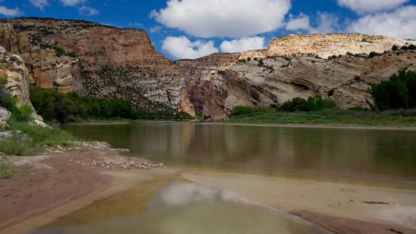 Very HardIn Demand8 sites
Dinosaur National Monument
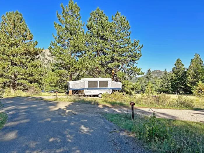 Very HardIn Demand55 sites
Rocky Mountain National Park
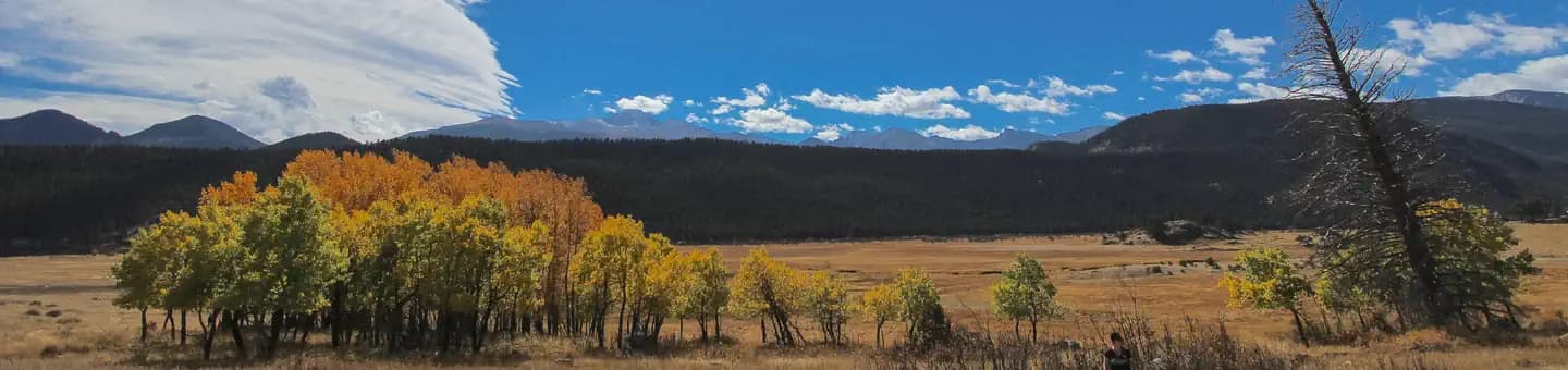 Very HardIn Demand147 sites
Rocky Mountain National Park
A small favor
Google lets you pick the sites it highlights for you. Add PermitSnag and our permit pages get marked as one of yours in AI Overviews and AI Mode.
Takes less than a minute.