Reservation6/10
Black Canyon Red Rock Canyon Wilderness cancellations
The gentlest way to the Gunnison River inside the park, and the smallest quota. ...
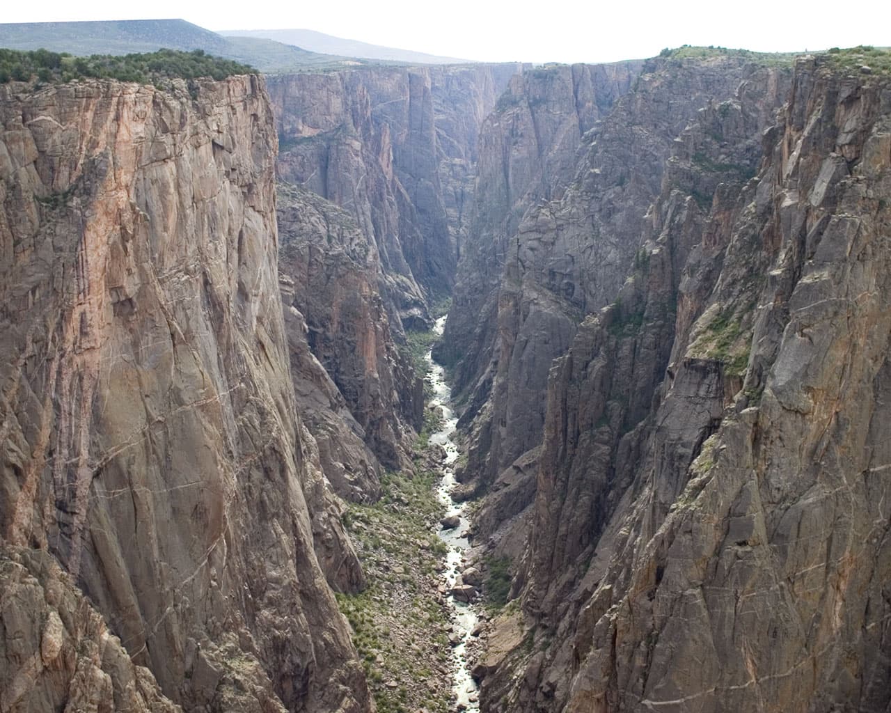
Black Canyon of the Gunnison National Park · Colorado
One permit, one route, one entry date. Pick Gunnison or Warner, drop up to 2,722 feet of loose scree to the river, and camp at the bottom for up to three nights.
70% of the openings our scanner caught on Black Canyon South Rim were gone within 5 minutes.
Build your full itinerary start to finish
Add your dates and get a day-by-day plan: what needs a permit, what gear to bring, and one link to share with your whole group to coordinate every step.
No permit needed to start
May through October, which is the reservation season. Most South Rim routes are snow-covered from November to April, when permits switch to first-come first-served at the visitor center.
Trailhead (5,000 ft)
Backcountry Tips
Today
79°
52°
Wed
72°
55°
Thu
66°
52°
60%
Fri
64°
50°
33%
Sat
74°
51°
Sun
77°
54°
Mon
60°
48°
46%
Sign up at Recreation.gov if you don't have an account. Have your payment info ready.
Permits typically release on a rolling basis. Check the specific release time for your desired dates.
Log in a few minutes early. Have your dates, group size, and payment ready to go.
If your dates are sold out, people cancel all the time. Set up PermitSnag alerts to catch openings instantly.
Snow clearing off the routes through May, with high water in the river.
Fitness and endurance required
Climbing, scrambling, or specialized skills
Steep dropoffs and fall potential
Route finding and trail clarity
Difficulty of bailing out mid-route
Scramblers comfortable on steep loose ground who can find their own way back up an unmarked gully.
Prior off-trail scrambling with a loaded pack. The park asks you to review route info and talk to a ranger if you have not done these before.
Anyone uneasy on loose rock, anyone who has not scrambled with a pack, and anyone expecting a trail.
Black Canyon issues wilderness permits for South Rim routes only. The North Rim is not available online. These are not trails: the Park Service describes primitive, rugged, very strenuous routes that follow very steep gullies and rock chutes of loose dirt and rock, unmarked from top to bottom.
Each route has its own daily cap. Recreation.gov publishes Gunnison at 15, Tomichi at 9 and Warner at 23. Maximum group size is 4 and the maximum stay is 3 nights. Peak season runs May 1 through October 31 with reservations only, opening in two windows: April 1 for trips from May 1 to July 31, and July 1 for the rest of the season, both at 8:00 am Mountain Time. From November 1 through April 30 permits are first-come first-served outside the South Rim Visitor Center under the same daily quotas.
There are no maintained or marked trails into the inner canyon of the Black Canyon. What the Park Service issues here is permission to scramble down a gully to the Gunnison River, and the daily caps are tiny: 15 people on the Gunnison Route, 23 on Warner. It is one of the smallest wilderness quotas in the National Park System.
The Gunnison Route starts at the South Rim Visitor Center and follows the Oak Flat Trail for a third of a mile before the switchbacks stop pretending to be a trail. It is 1.5 miles and a 1,800 foot vertical drop, with a chain to hold on to in the steepest section, and it is the most used way in.
The Warner Route is the long one. It leaves the Warner Point Nature Trail past marker 13 and covers 2.75 miles with a 2,722 foot vertical drop, which is the biggest descent on the South Rim and the reason it holds the largest daily quota at 23.
The Tomichi Route is 1 mile and 1,960 feet from a start about 100 yards south of the Tomichi Point overlook. It is closed to all use until further notice because of the 2025 South Rim Fire. Camping at the base of your route is allowed for up to three nights.
Going down is intuitive. Coming back up is where people get lost, which is why rangers tell you to keep turning around and memorizing trees and boulders on the way down. At the bottom the river is loud, cold and green, the walls block most of the sky, and the sun shows up for a couple of hours and then leaves.
Start of the Gunnison Route. 1.5 miles and 1,800 vertical feet to the river.
Water at the visitor center in season. The only water below the rim is the Gunnison River itself, and everything from it needs filtering.
Visitor center lot. Display your permit number on the dashboard.
Colorado Highway 347 north from US Highway 50, about 6 miles to the South Rim entrance.
Montrose, about 15 miles southwest, has everything.
Start of the Warner Route via the Warner Point Nature Trail. 2.75 miles and 2,722 vertical feet.
No water at High Point. Carry 4 liters per person per day, which is what the park recommends for these routes.
Lot at the end of South Rim Road at High Point.
Drive to the end of South Rim Road. Closed in winter beyond the visitor center.
Montrose.
Required and recommended gear for Black Canyon South Rim
Trailhead transportation options
Browse all shuttlesExperienced wilderness guides
Browse all guidesSome links may be affiliate links. Purchases support PermitSnag at no extra cost to you.
Reserve on Recreation.gov permit 4675344 during the May 1 to October 31 season. Reservations open in two windows at 8:00 am Mountain Time: April 1 for trips from May 1 to July 31, and July 1 for the rest of the season. From November 1 through April 30 permits are first-come first-served outside the South Rim Visitor Center.
Recreation.gov publishes a maximum number of hikers per day per route: Gunnison 15, Tomichi 9 and Warner 23. Maximum group size is 4 and the maximum stay is 3 nights.
No. Recreation.gov states that due to the effects of the 2025 South Rim Fire, the Tomichi route is closed to all use until further notice. The Gunnison and Warner routes remain open under the same conditions and reservation system.
The Park Service describes them as primitive, rugged and very strenuous, following steep gullies and rock chutes of loose dirt and rock with no maintained or marked trail. Round trips typically take 4 to 8 hours. Warner drops 2,722 feet in 2.75 miles and Gunnison drops 1,800 feet in 1.5 miles.
A $6 reservation fee plus $4 per person. The park's $30 vehicle entrance fee is required separately and is valid for 7 days.
No active conditions reported
Sign in to report trail conditions.
No questions yet
Be the first to ask about Black Canyon South Rim.
No trip reports yet
Be the first to share your experience at Black Canyon South Rim.
Write the First ReportSunrise light reaches the top third of the opposite wall first and then walks down it. From the bottom it is the only warm light you get.
The inner canyon is in shadow most of the day, which is the picture. Shoot the walls, not the sky.
Warner is nearly twice as long as Gunnison and holds the largest quota, which means it is the least likely to feel occupied.
Consider these alternatives if your preferred dates aren't available.
The same river on the same permit system by a gentler 3.5 mile route that drops 1,300 feet instead of 2,722.
Far easier walking, but only 8 people per day and a maximum of two nights.
Colorado backcountry two hours east with at-large camping and a much larger daily cap.
No scrambling and no route finding, but no river either.
Colorado alpine backcountry with real trails and far more sites.
Much easier terrain and much harder to get in summer.
Nearby campgrounds to complete your Black Canyon South Rim trip
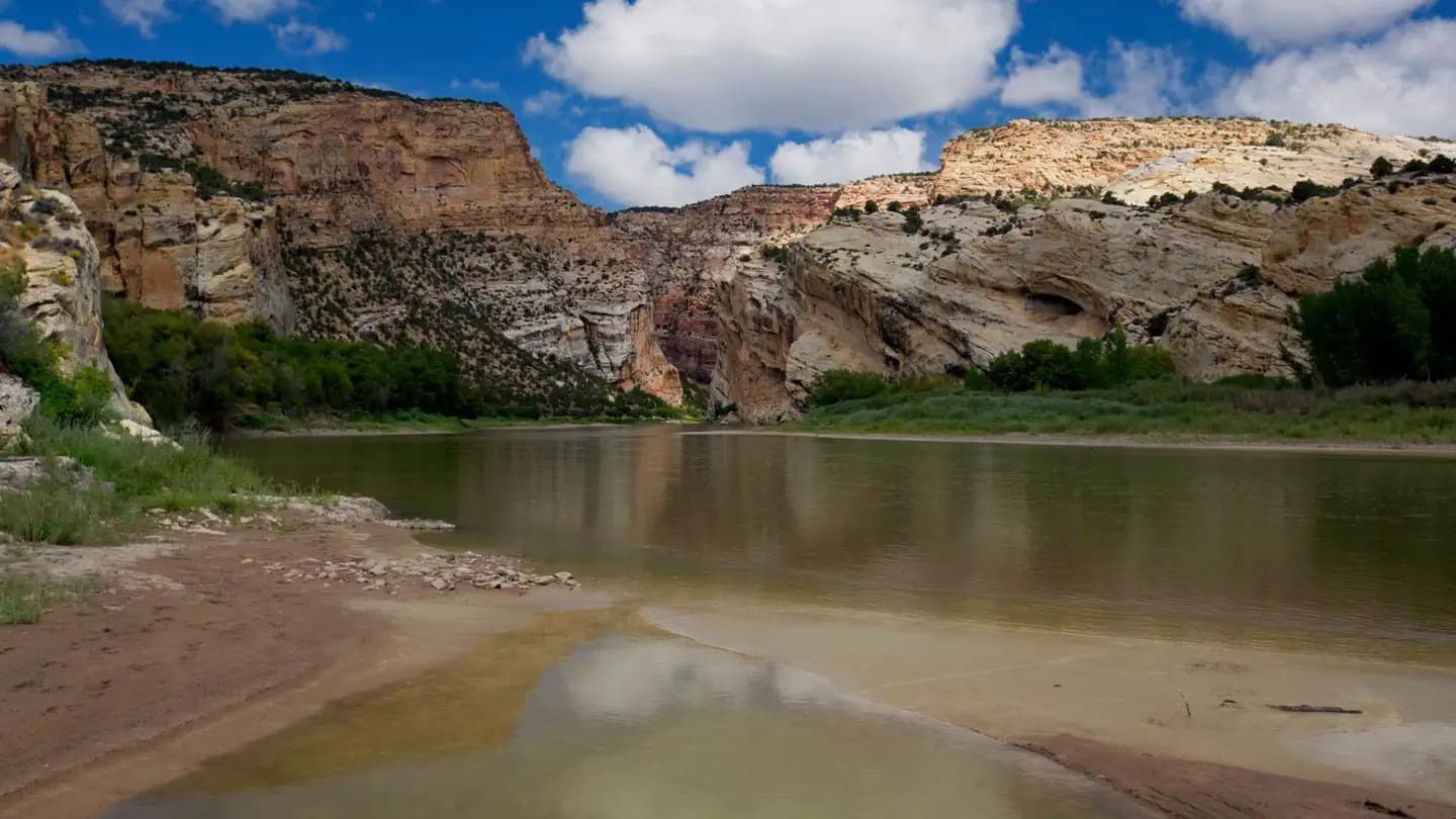 Very HardIn Demand8 sites
Dinosaur National Monument
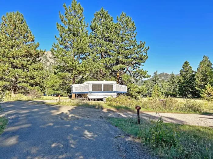 Very HardIn Demand55 sites
Rocky Mountain National Park
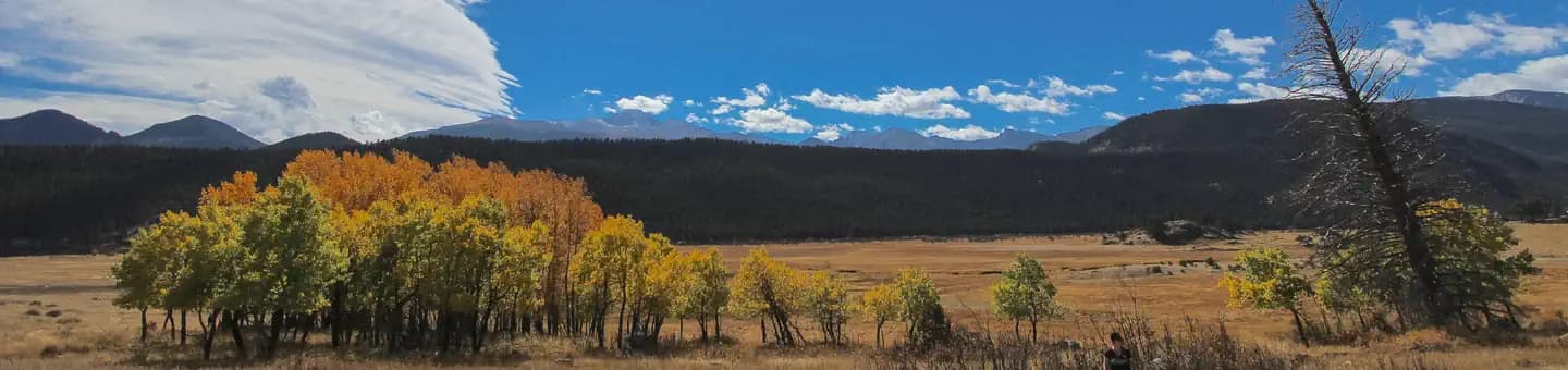 Very HardIn Demand147 sites
Rocky Mountain National Park
A small favor
Google lets you pick the sites it highlights for you. Add PermitSnag and our permit pages get marked as one of yours in AI Overviews and AI Mode.
Takes less than a minute.