GC Backcountry Permit: Route
GC Backcountry permits get cancelled and re-released through the season in Grand Canyon National Park, and they are drawn by lottery to begin with. The route covers 16.5 miles.
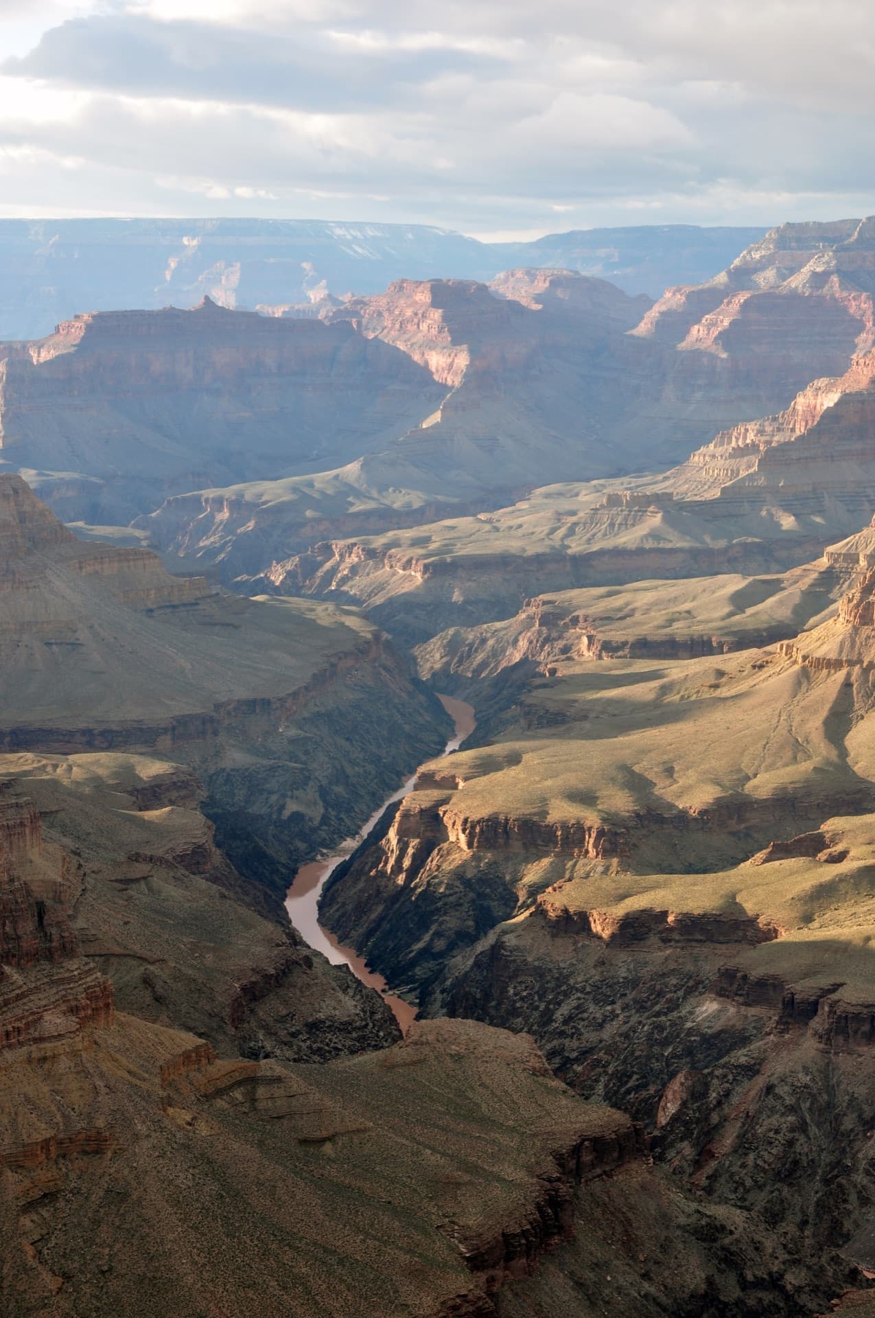
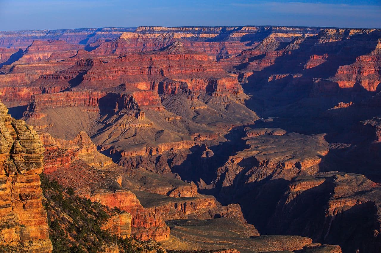
Descend through two billion years of Earth's history to camp beside the Colorado River at the bottom of one of the world's most awe-inspiring natural wonders.
This guide covers the Grand Canyon backcountry permit.
$10 + $10/night/person
Permit Cost
Set by your itinerary — NPS publishes no recommended length for this loop
Duration
16.5 miles
Distance
4,460'
Elevation Gain
strenuous
Difficulty
About GC Backcountry
A Grand Canyon backcountry permit unlocks one of Earth's most profound wilderness experiences—descending through two billion years of geologic history to camp beside the mighty Colorado River. The most popular route combines the South Kaibab Trail's dramatic ridgeline descent with the shaded Bright Angel Trail ascent. The journey from rim to river covers over 4,800 feet of elevation loss, passing through distinct life zones from ponderosa pine forest to Sonoran desert. At the bottom, the Inner Gorge's black Vishnu schist represents some of Earth's oldest exposed rock. Bright Angel Campground provides the quintessential Grand Canyon overnight experience, with the Colorado River's constant murmur and walls that seem to extend to infinity. The challenging ascent rewards hikers with a deepened appreciation for the canyon's immense scale. Do not assume corridor water: every tap down there runs off the Transcanyon Waterline, and NPS turns them off at the campgrounds and resthouses when it breaks. The live per-location status is on the park's Key Hiking Messages page - read it the morning you start.
The Grand Canyon represents one of the most complete geologic records on Earth, with exposed rock layers spanning nearly half the planet's history. Backpacking to the river provides an intimate experience of this natural wonder that day visitors can only imagine.
The GC Backcountry route
- Distance
- 16.5 miles
- Route type
- loop
- Elevation gain
- 4,460 ft
- High point
- 7,260 ft
- Low point
- 2,480 ft
- Trip length
- Set by your itinerary — NPS publishes no recommended length for this loop
- Difficulty
- strenuous
Entry points: South Kaibab Trailhead, Bright Angel Trailhead
Northern Arizona. Nearest town: Tusayan
Points along the route
- South Kaibab TrailheadMile 0, 7,260 ft
- Ooh Aah PointMile 0.9, 6,660 ft
- Cedar RidgeMile 1.5, 6,120 ft
- Skeleton PointMile 3, 5,220 ft
- The TipoffMile 4.4, 4,000 ft
- Bright Angel CampgroundMile 7, 2,480 ft
- Havasupai GardensMile 12.5, 3,800 ft
- Bright Angel TrailheadMile 16.3, 6,860 ft
GC Backcountry permit detailsandAll Grand Canyon National Park permits
The Experience
As you descend, the rim becomes a distant memory and the canyon walls close in, their layered colors shifting from white to red to black. At Phantom Ranch, the Colorado River's constant roar becomes your soundtrack. Looking up at night reveals a ribbon of stars framed by impossibly high walls—a perspective few ever witness.
The classic rim-to-river journey begins at South Kaibab Trailhead, descending the exposed ridgeline with panoramic views into the abyss. The trail drops 4,860 feet in just 6.3 miles, passing through rock layers from the Permian to the Precambrian. At the bottom, the silver bridge delivers you to Bright Angel Campground near the confluence of Bright Angel Creek and the Colorado River. The ascent via Bright Angel Trail is gentler and has the only shade of the three corridor trails, climbing past Havasupai Gardens (Indian Garden) before emerging at the rim.
What to Expect
It gets hotter as you descend — NPS puts summer highs at Phantom Ranch around 30°F above the rims, about 5.5°F per 1,000 feet
South Kaibab descent on exposed ridgeline with no water or shade
River crossing via suspension bridges at Phantom Ranch
Bright Angel ascent, the only corridor climb with taps on it - every one of them waterline-dependent
Wildlife including bighorn sheep, condors, and mule deer
Mule trains sharing corridor trails—hikers yield to mules
Get GC Backcountry Alerts
Be first to know when cancellations happen.
Permit Requirements
Backcountry permit required for all overnight stays below the rim
Permits distributed through Recreation.gov monthly lottery (4 months in advance)
Eleven people is the park-wide ceiling for one campground or use area. Sites come in two sizes everywhere — 1-6 and 7-11 — and the small ones are more numerous
Campfires prohibited throughout the backcountry
Large metal boxes are provided, and mandatory, at every site in Havasupai Gardens, Bright Angel and Cottonwood. Everywhere else you must bring your own critter-proof container
Pack out all trash and toilet paper — NPS prohibits burning or burying either
Drone use is prohibited in Grand Canyon and in all national parks
Gear & Preparation
Required Gear
- •Water, plus electrolyte replacement — NPS warns hikers can lose one to two quarts an hour to sweat
- •Electrolyte supplements (hyponatremia is a serious risk)
- •Headlamp for early starts/late finishes
- •Sturdy hiking boots with ankle support
- •Sun protection (hat, sunscreen, sun shirt)
Recommended Gear
- •Trekking poles for steep descents and ascents
- •Water filter as backup (creek water at Bright Angel)
- •Lightweight camp shoes for campground
- •Warm layers for cold canyon bottom nights
- •Gaiters for loose trail sections
Hazards & Safety
Extreme heat — NPS warns summer daytime highs can potentially top 120°F and urges special caution
Hyponatremia from over-drinking water without electrolytes
Steep, exposed trail sections with significant drop-offs
Flash flooding in side canyons during monsoon season
Rockfall in narrow sections
Limited cell service and rescue access in Inner Gorge
Best Time to Visit
Spring (March-May) and fall (September-November) offer the most comfortable temperatures. Summer sees extreme heat in the Inner Gorge that can be life-threatening. Winter hiking is possible but requires preparation for snow and ice on upper trails.
Pro Tips
Apply on the 1st of the month
Spring and fall are ideal
100+ wilderness permits, extensive backcountry experience
This guide is based on personal experience obtaining wilderness permits and is regularly updated to reflect current policies and strategies.
Frequently Asked Questions
How do I get a GC Backcountry permit?
+
Two ways. Cancelled GC Backcountry permits return to the booking system through the season, and PermitSnag alerts you the moment one opens. The other way is the lottery, so apply during the application window as well.
When is the best time to visit GC Backcountry?
+
Spring (March-May) and fall (September-November) offer the most comfortable temperatures. Summer sees extreme heat in the Inner Gorge that can be life-threatening. Winter hiking is possible but requires preparation for snow and ice on upper trails.
How long is the GC Backcountry route?
+
The route is 16.5 miles, as a loop.
How difficult is the GC Backcountry route?
+
Fit hikers with backpacking experience who can handle sustained steep terrain with significant elevation change. Good for ambitious beginners who have trained adequately.
Where does the GC Backcountry route start?
+
The permit covers 2 entry points: South Kaibab Trailhead, Bright Angel Trailhead.
What if I don't win the GC Backcountry lottery?
+
Cancelled permits return to the booking system through the season. PermitSnag watches GC Backcountry and alerts you when one opens, so a lost draw is not the end of the trip.
Don't Miss Your GC Backcountry Permit
Cancellations happen every day. PermitSnag monitors GC Backcountry availability 24/7 and alerts you the moment a spot opens up.
Get Permit Alerts