Walk-Up7/10
CT Collegiate Loop permit
160-mile loop combining the Colorado Trail's Collegiate East and West routes thr...
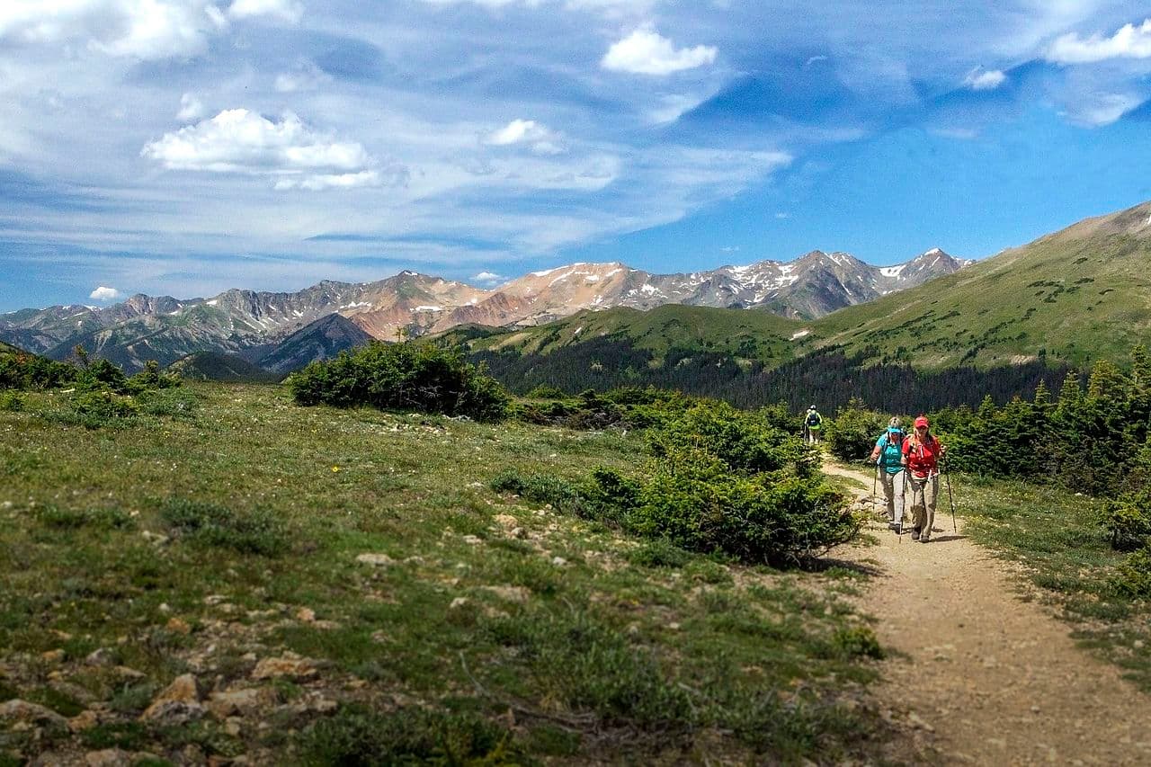
Walk 486 miles from Denver to Durango through the heart of the Rocky Mountains—crossing eight mountain ranges, six wilderness areas, and reaching heights above 13,000 feet.
“Cross the spine of the Rockies from the Mile High City to Durango—486 miles of Colorado's finest mountain scenery with frequent town access for resupply.”
CT Thru-Hike is issued by the agency rather than through a booking calendar. Their page has the current process and any dates.
Official permit pagePlanning another trip? See the permits we watch.
CT Thru-Hike is issued by the agency rather than through a booking calendar. Their page has the current process and any dates.
Official permit pagePlanning another trip? See the permits we watch.
Build your full itinerary start to finish
Add your dates and get a day-by-day plan: what needs a permit, what gear to bring, and one link to share with your whole group to coordinate every step.
No permit needed to start
You get this permit in person at the trailhead or ranger station, or by phone. There is no online reservation to race for, so availability alerts do not apply. We still track key dates and season info for your trip.
Official permit page →Late June through September. July and early August have the best weather but daily thunderstorms. Late August/September has fewer storms but shorter days and early snow possible in San Juans. Late September offers golden aspens at Kenosha Pass.
Trailhead (5,520 ft)
Backcountry Tips
Today
82°
55°
Sun
94°
62°
Mon
86°
65°
38%
Tue
72°
55°
59%
Wed
84°
56°
59%
Thu
80°
59°
49%
Fri
79°
59°
40%
This permit is not sold online. Confirm where and when it is issued — and any fee — at coloradotrail.org before your trip.
Walk-up permits are issued first-come, first-served, and quotas can fill early on weekends and holidays.
Popular trailheads may be full. Know alternative routes or dates in case your first choice is unavailable.
Fitness and endurance required
Climbing, scrambling, or specialized skills
Steep dropoffs and fall potential
Route finding and trail clarity
Difficulty of bailing out mid-route
Fit hikers ready for a multi-week expedition. Good introduction to thru-hiking due to frequent town access.
Should have completed multi-day backpacking trips and be comfortable hiking at elevation above 10,000 feet.
Those without experience hiking at altitude or unable to commit 4-6 weeks.
The Colorado Trail is a 486-mile continuous trail from Denver to Durango through the heart of the Rocky Mountains. The trail traverses eight mountain ranges, crosses six wilderness areas, and maintains an average elevation of approximately 10,300 feet with a high point of 13,271 feet at Coney Summit.
The trail offers a Collegiate Split option adding flexibility between Twin Lakes and Cottonwood Pass. When combined with this alternate and the Collegiate Loop, the total system comprises 567 miles of trail.
The Colorado Trail is Colorado's premier long-distance hiking trail and one of America's great thru-hikes. Completed in 1987, it traverses the heart of the Rocky Mountains, crossing eight mountain ranges and six wilderness areas while averaging over 10,000 feet in elevation. Unlike more remote thru-hikes, the CT offers frequent town access, making it an accessible introduction to long-distance hiking.
The CT begins at Waterton Canyon, a gentle gravel road populated by bighorn sheep. It's an easy start that belies what's to come. Through Lost Creek Wilderness and over Kenosha Pass—famous for its golden aspens—the trail works its way to the Collegiate Peaks.
At Twin Lakes, hikers choose: the Collegiate East follows the original trail at lower elevations, while the Collegiate West joins the CDT along the Continental Divide for more dramatic but more exposed terrain. Both routes rejoin at Cottonwood Pass.
The San Juan Mountains are the trail's crown jewels—over 80 miles of above-treeline travel, including Coney Summit at 13,271 feet, the trail's high point. The final descent into Durango feels like returning to civilization from another world.
Colorado changes around you as you walk. Denver's front range gives way to rolling forests, then granite peaks, then the endless above-treeline expanse of the San Juans. You learn the rhythm of Colorado summer: hike hard in the morning, find shelter by noon when the thunderstorms roll in, dry out by dinner. By the time you descend into Durango, your legs are strong, your pack feels light, and you've walked through the entire geological history of the Rocky Mountains.
Northern terminus. Easy access from Denver metro area.
Large paved lot. Free parking. Fills on busy weekends.
From Denver, take Wadsworth Boulevard south to Waterton Road.
Denver metro has all services. Littleton is closest with full amenities.
Southern terminus. Near historic downtown Durango.
Small lot. Additional parking on road shoulder.
From Durango, take Junction Street to County Road 204.
Downtown Durango (3 miles) has full services, breweries, and outdoor shops.
Required and recommended gear for CT Thru-Hike
Trailhead transportation options
Browse all shuttlesExperienced wilderness guides
Browse all guidesSome links may be affiliate links. Purchases support PermitSnag at no extra cost to you.
Emergency contacts, ranger station locations, and satellite communicator tips for CT Thru-Hike.
Bear canister requirements, approved container lists, and rental locations for this permit.
CT Thru-Hike is not sold online. It is issued in person or by phone, so there is no reservation to book and no cancellation to catch. PermitSnag does not send alerts for it — check the official permit page for the current process.
Check with the managing agency for current season dates. Weekdays generally have better availability than weekends.
This permit has a demand score of 6/10, making it moderately competitive.
On this permit there is no cancellation queue and no alert to set, because nothing is re-released onto a calendar we could watch. Bring backup dates, and check the official permit page for the current process and any closures.
No active conditions reported
Sign in to report trail conditions.
No questions yet
Be the first to ask about CT Thru-Hike.
Sunrise from the San Juan ridgelines offers the most dramatic CT photography. Kenosha Pass golden aspens in late September are iconic.
Above-treeline sections in the San Juans photograph best in early morning before afternoon clouds build.
The CT sees steady traffic June-September. The San Juan section is the most popular—weekday hiking there offers more solitude.
Consider these alternatives if your preferred dates aren't available.
Tackle the CT in sections over multiple trips. Popular sections include Kenosha Pass and the San Juan Mountains.
Sample the best without full commitment. Requires multiple trips and logistics.
The CDT shares some routing with the CT and offers a longer wilderness experience through Colorado.
More remote and challenging but less developed infrastructure.
160-mile loop combining Collegiate East and West routes with connector trails.
Complete loop without end-to-end logistics. Captures the CT's finest alpine terrain.
Nearby campgrounds to complete your CT Thru-Hike trip
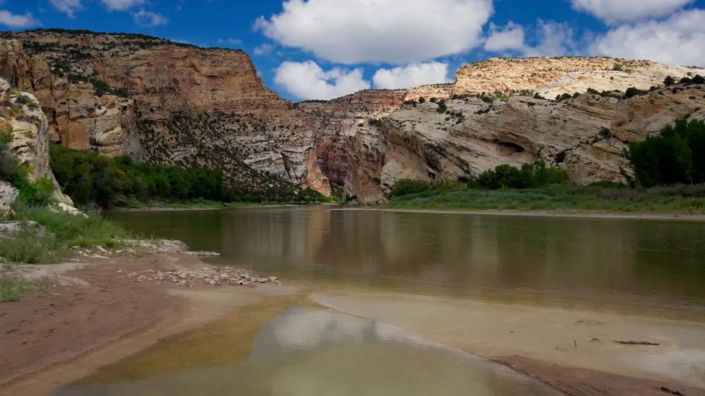 Very HardIn Demand8 sites
Dinosaur National Monument
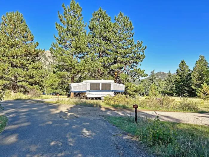 Very HardIn Demand55 sites
Rocky Mountain National Park
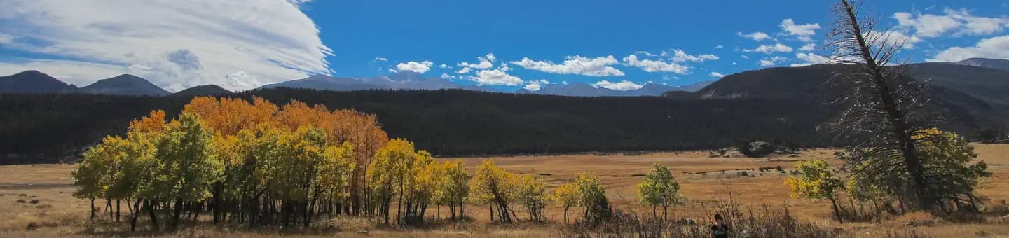 Very HardIn Demand147 sites
Rocky Mountain National Park
A small favor
Google lets you pick the sites it highlights for you. Add PermitSnag and our permit pages get marked as one of yours in AI Overviews and AI Mode.
Takes less than a minute.