Walk-Up6/10
CT Colorado Trail Thru-Hike permit
Walk 486 miles from Denver to Durango through the heart of the Rocky Mountains—c...
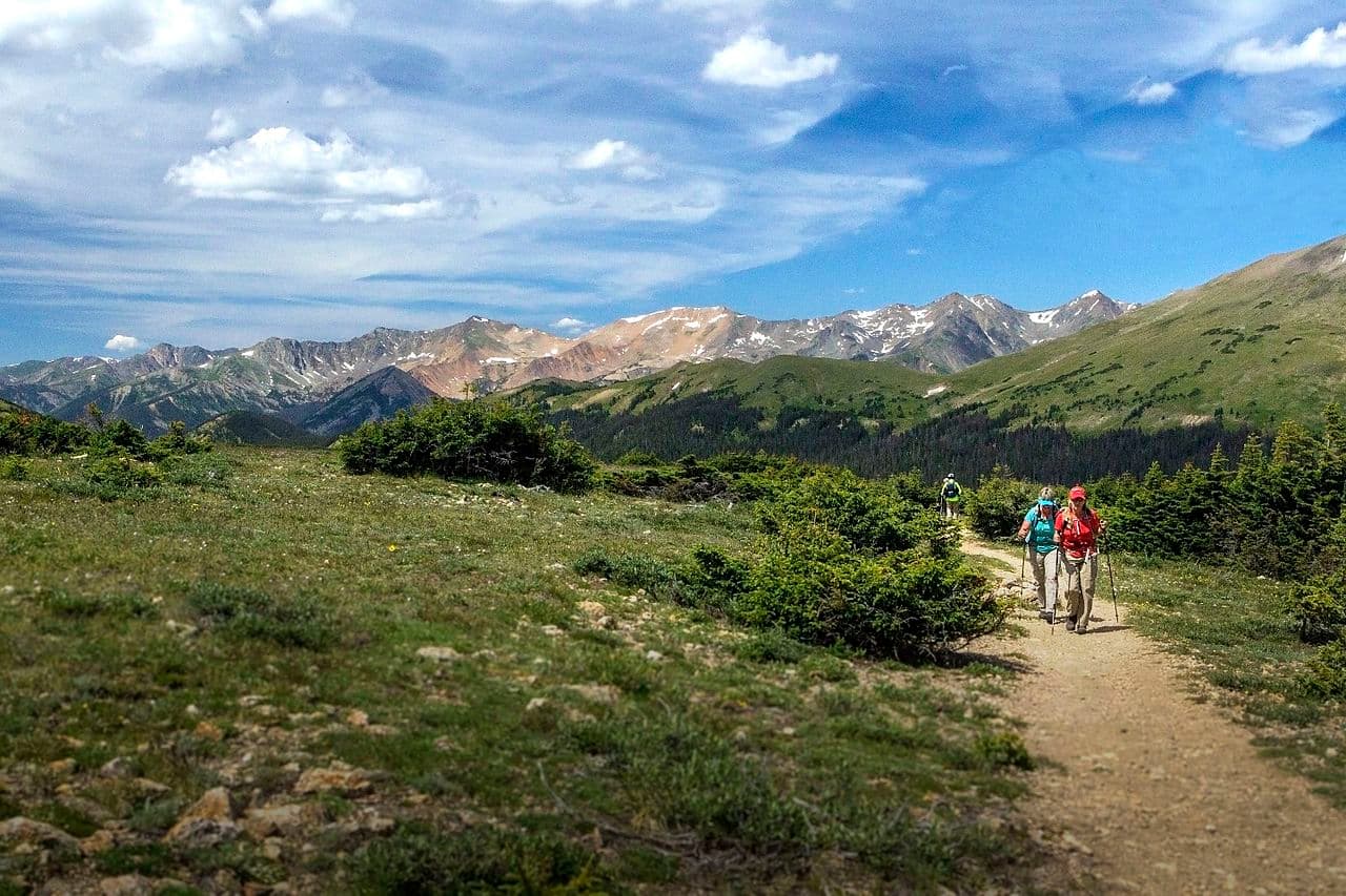
160-mile loop combining the Colorado Trail's Collegiate East and West routes through the heart of the Sawatch Range—14ers, alpine lakes, and some of the CT's finest terrain.
“A 160-mile circuit around the Collegiate Peaks that needs no permit at all - and where the real gate is snow, fire restrictions and a season the trail's own foundation calls short.”
Collegiate Loop is issued by the agency rather than through a booking calendar. Their page has the current process and any dates.
Official permit pagePlanning another trip? See the permits we watch.
Collegiate Loop is issued by the agency rather than through a booking calendar. Their page has the current process and any dates.
Official permit pagePlanning another trip? See the permits we watch.
Build your full itinerary start to finish
Add your dates and get a day-by-day plan: what needs a permit, what gear to bring, and one link to share with your whole group to coordinate every step.
No permit needed to start
You get this permit in person at the trailhead or ranger station, or by phone. There is no online reservation to race for, so availability alerts do not apply. We still track key dates and season info for your trip.
Official permit page →July and August, which the Colorado Trail Foundation calls the CT season outright. It recommends beginning no earlier than late June because high elevations and north-facing, treed slopes retain troublesome snowpack into July, and finishing no later than late September before snow becomes plentiful.
Trailhead (5,000 ft)
Backcountry Tips
Today
70°
52°
Sun
71°
52°
Mon
67°
47°
48%
Tue
68°
44°
63%
Wed
67°
44°
55%
Thu
65°
46°
50%
Fri
63°
43°
33%
This permit is not sold online. Confirm where and when it is issued — and any fee — at coloradotrail.org before your trip.
Walk-up permits are issued first-come, first-served, and quotas can fill early on weekends and holidays.
Popular trailheads may be full. Know alternative routes or dates in case your first choice is unavailable.
Fitness and endurance required
Climbing, scrambling, or specialized skills
Steep dropoffs and fall potential
Route finding and trail clarity
Difficulty of bailing out mid-route
Fit thru-hikers with altitude experience. 160 miles and more than 37,000 feet of combined gain across two routes, mostly above 10,000 feet.
Long-distance backpacking and comfort at altitude. The exposure rating reflects repeated high passes above treeline in storm season, on a trail that is otherwise well built and well marked.
Anyone starting before late June, and anyone without a plan for daily afternoon thunderstorms on exposed passes.
No permit is required to walk the Collegiate Loop. The Pike-San Isabel National Forests publish which of their wilderness areas need a self-issued trailhead permit - Holy Cross, Lost Creek and Mount Evans - and Collegiate Peaks is not among them, so there is no registration station to fill in on this route. The Colorado Trail Foundation states there is no permit required to travel the CT, though note its FAQ also carries a blanket line about self-issuing at wilderness areas that does not apply to this particular wilderness. The one piece of paperwork it does flag is a Colorado State Wildlife Area pass, which may be required to travel through the first half-mile of Segment 12 on the Collegiate East depending on your trip plan. Commercial and nonprofit groups are a separate case: they are required to obtain a special use permit through the local ranger district in advance.
The loop is 160 miles as a circuit. Collegiate West is 84.8 miles with 19,800 feet of gain across five segments; Collegiate East is 78.3 miles with 17,800 feet across parts or all of Segments 11 to 15. The Foundation publishes no loop high point and no combined gain figure.
The season is short. The Foundation's guidance is that the CT season is primarily July and August, that thru-travellers should begin no earlier than late June because high elevations and north-facing, treed slopes retain troublesome snowpack into July, and that you should finish no later than late September before snow becomes plentiful. Winter snow remains into late June with snowfields lingering into July, and it advises against travelling higher portions - generally above 10,000 feet - until late June.
Group size is capped by forest order. The Collegiate Peaks Wilderness occupancy and use order prohibits entering the area with more than 15 people per group, or a maximum combination of 25 people and pack or saddle animals in any one group. The same order requires dogs to be under physical restraint of a leash except working stock dogs or dogs used for legal hunting; prohibits camping within 100 feet of lakes, streams and National Forest System trails; prohibits campfires within 100 feet of any lake, stream or trail or above 11,000 feet in elevation; requires stock to be hitched at least 100 feet from water and trails; prohibits shortcutting switchbacks; requires weed-free forage; and prohibits storing equipment, personal property or supplies for longer than 72 hours. The order runs to December 31, 2027.
Fire restrictions are the live variable and we cannot give you today's answer. As of a late-July 2026 reading, the Pike-San Isabel National Forests had Stage 2 Fire Restrictions in effect covering the Salida and Leadville Ranger Districts among others, beginning June 30, 2026, with fire danger at both listed as Very High; the Grand Mesa, Uncompahgre and Gunnison National Forests began Stage 2 on July 1, 2026. Between them those two forests cover the whole loop, and under Stage 2 campfires are banned outright - which supersedes the wilderness order's 11,000-foot rule. Because fs.usda.gov blocks automated requests, that is the most recent verifiable state rather than the current one. Check both forests before you go.
Two Leadville Ranger District closures were also active at that reading and sit on or beside the loop's northern end: a Willow Fire Area Closure starting July 22, 2026, and an Interlaken Hotel and Annex Area closure starting June 22, 2026, at Twin Lakes. Their exact boundaries could not be verified. The Colorado Trail Foundation's own detours and closures page could not be read at all - its site blocks automated access and no 2026 archive exists - so treat any claim about what is currently open on the CT, including ours, as needing confirmation from the Foundation directly.
Resupply is straightforward: the Foundation names Twin Lakes Village, Buena Vista, Mount Princeton Hot Springs, Monarch Pass and Salida as good resupply points on or near the loop.
The Collegiate Loop joins the Colorado Trail's two Collegiate routes into a self-contained circuit: 84.8 miles of Collegiate West with 19,800 feet of gain, and 78.3 miles of Collegiate East with 17,800. The northernmost point is Twin Lakes Reservoir southwest of Leadville and the southernmost is south of Monarch Pass. The entire Collegiate West is co-located with the Continental Divide National Scenic Trail.
The Colorado Trail Foundation publishes both halves segment by segment. Collegiate West: CW01 Twin Lakes to Sheep Gulch, 9.9 miles; CW02 to Cottonwood Pass, 25.9; CW03 to Tincup Pass Road, 16.1; CW04 to Boss Lake Trailhead, 16.9; CW05 to the ridge above South Fooses Creek, 16.0. Total 84.8 miles and 19,800 feet of gain. Collegiate East: part of Segment 11 from Twin Lakes to Clear Creek Road, 7.8 miles; Segment 12 to Silver Creek Trailhead, 18.7; Segment 13 to Chalk Creek Trailhead, 22.4; Segment 14 to US Highway 50, 20.8; part of Segment 15 to South Junction, 8.6. Total 78.3 miles and 17,800 feet of gain.
The Foundation does not publish a high point for the loop, and we are not going to borrow one - the widely quoted 13,271 feet just below Coney Summit belongs to Segment 22 in the San Juans, which is nowhere near this loop. Nor does it publish a combined elevation gain for the circuit; the two route figures above are what exist.
Bikes are restricted: parts of both routes are closed to bike traffic including where the trail passes through the Collegiate Peaks Wilderness, and only CW01, CW04 and CW05 are open to bikes.
High and open on the west side - Hope Pass, Lake Ann Pass, the Alpine Tunnel - and quieter, lower, more forested on the east. Two weeks of walking that never leaves the Sawatch.
A major access point for the Colorado Trail near Buena Vista. The Forest Service says hikers generally use the area during the summer months for day hiking and backpacking into the Collegiate Peaks Wilderness to the north, and that it is a popular trailhead for winter recreationists.
The Forest Service says a paved parking area and toilet facility are available, with ample parking.
From Buena Vista, travel west on County Road 306 for approximately 9 miles. The trailhead is on the right side of the road; watch for a sign and turn into the paved parking area.
Buena Vista, Colorado.
An access point to the Collegiate Peaks Wilderness named by the Forest Service in the Pike and San Isabel National Forest listing.
An access point to the Collegiate Peaks Wilderness named by the Forest Service in the same listing.
An access point named by the Forest Service, with Collegiate Peaks Campground listed as nearby access to it.
An access pairing named by the Forest Service in the same wilderness listing.
Required and recommended gear for Collegiate Loop
Trailhead transportation options
Browse all shuttlesExperienced wilderness guides
Browse all guidesSome links may be affiliate links. Purchases support PermitSnag at no extra cost to you.
Emergency contacts, ranger station locations, and satellite communicator tips for Collegiate Loop.
Bear canister requirements, approved container lists, and rental locations for this permit.
No. The Pike-San Isabel National Forests require self-issued trailhead permits in only three wilderness areas - Holy Cross, Lost Creek and Mount Evans - and Collegiate Peaks is not one of them. The Colorado Trail Foundation also states there is no permit required to travel the CT. Commercial and nonprofit groups do need a special use permit from the local ranger district.
160 miles as a circuit. The Collegiate West route is 84.8 miles across five segments with 19,800 feet of elevation gain; the Collegiate East route is 78.3 miles with 17,800 feet. The Colorado Trail Foundation publishes no combined elevation-gain figure for the loop and no loop high point.
July and August. The Colorado Trail Foundation says the CT season is short and primarily those two months, recommends beginning no earlier than late June because high elevations and north-facing treed slopes retain troublesome snowpack into July, and recommends finishing no later than late September before snow becomes plentiful.
Fifteen people per group, or a maximum combination of 25 people and pack or saddle animals in any one group. That comes from the Collegiate Peaks Wilderness occupancy and use order, which runs to December 31, 2027. The forest-wide statement is the same: group size is limited to 15, and stock groups are limited to 25 with a maximum of 15 people.
Only sometimes, and possibly not at all. The wilderness order prohibits campfires within 100 feet of any lake, stream or National Forest System trail, and above 11,000 feet in elevation. On top of that, as of a late-July 2026 reading both governing forests - Pike-San Isabel and the GMUG - had Stage 2 Fire Restrictions in effect, under which campfires are banned outright. Check both forests before you go; automated checks of their pages are blocked, so we cannot tell you today's stage.
The Colorado Trail Foundation names Twin Lakes Village, Buena Vista, Mount Princeton Hot Springs, Monarch Pass and Salida as good resupply points on or near the loop. Collegiate West's list is Twin Lakes Village, Buena Vista, Monarch Pass and Salida; Collegiate East adds Mount Princeton Hot Springs.
Not all of it. Parts of both the Collegiate East and West routes are closed to bike traffic, including where the trail passes through the Collegiate Peaks Wilderness. Of the western segments, only CW01, CW04 and CW05 are open to bike use.
No active conditions reported
Sign in to report trail conditions.
No questions yet
Be the first to ask about Collegiate Loop.
The Forest Service is blunt about the pressure here: it says the beauty of this place and its ease of access ensure torrents of visitors, especially on weekends, and to expect to be inundated by people and their dogs on any fourteener trail.
Consider these alternatives if your preferred dates aren't available.
The full Denver-to-Durango trail, of which the Collegiate routes are the middle.
Several times longer, with the same absence of a permit requirement and the same short season.
Designated-site wilderness camping two hours north in Rocky Mountain National Park.
A permit, a $36 per-trip fee and assigned sites - but bear canisters required and no wondering where you will sleep.
A high, largely off-trail traverse of Wyoming's Wind River Range.
Far harder navigation and far more off-trail ground, with a similarly short high-country season and no permit.
Nearby campgrounds to complete your Collegiate Loop trip
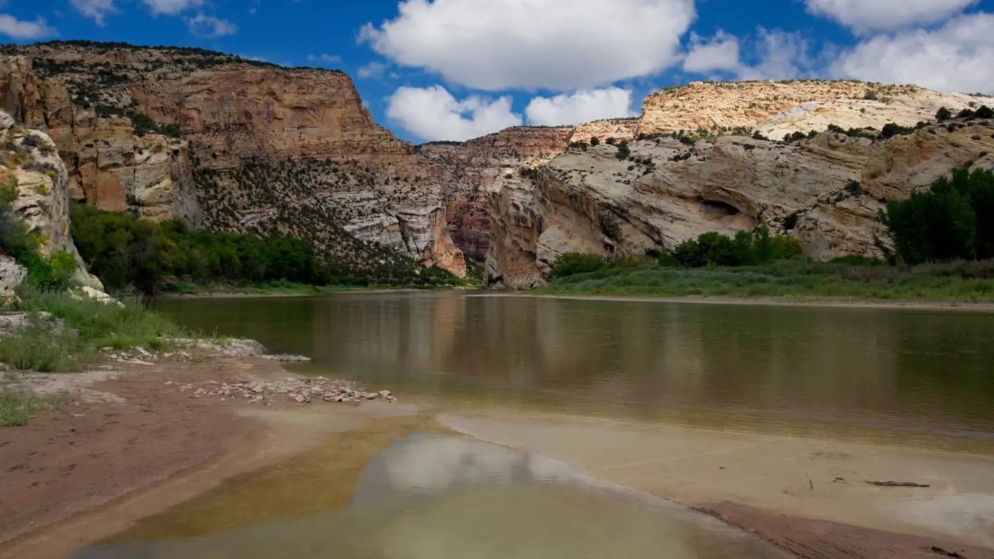 Very HardIn Demand8 sites
Dinosaur National Monument
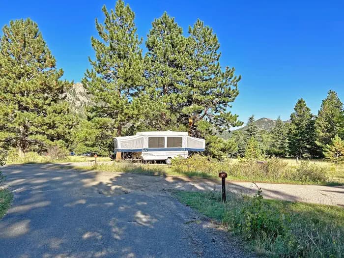 Very HardIn Demand55 sites
Rocky Mountain National Park
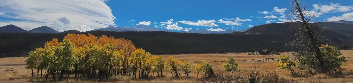 Very HardIn Demand147 sites
Rocky Mountain National Park
A small favor
Google lets you pick the sites it highlights for you. Add PermitSnag and our permit pages get marked as one of yours in AI Overviews and AI Mode.
Takes less than a minute.