Lottery8/10
Grand Canyon hiking permits
Required for all overnight camping below the rim....
Grand Canyon National Park · Arizona
North Rim corridor campground.
70% of the openings our scanner caught on Cottonwood were gone within 10 minutes.
Build your full itinerary start to finish
Add your dates and get a day-by-day plan: what needs a permit, what gear to bring, and one link to share with your whole group to coordinate every step.
No permit needed to start
Late May through June, and mid-September through October. Highway 67 opens May 15 and closes December 1, so the season is fixed at the top. Midsummer at 4,080 feet is hot and the monsoon puts flash-flood risk on the lower trail from July. For 2026 specifically, plan any rim-to-rim before October 15 - the trail closes north of the campground at 11:59 pm that night.
Trailhead (5,000 ft)
Today
82°
64°
Sun
81°
63°
Mon
81°
61°
Tue
80°
68°
Wed
80°
66°
Thu
82°
66°
Fri
84°
70°
Sign up at National Park Service if you don't have an account. Verify your email and add payment info ahead of time.
Submit your application between The 16th of each month, four months before your start month and 5 pm MST on the 1st of the following month. Apply for multiple dates to increase your odds.
Results are typically announced Up to 750 applicants are awarded a booking timeslot; everyone else gets access on the 1st of the next month. Check your email and your National Park Service account.
Permits get cancelled daily. Peak cancellation times are 24-48 hours before the trip date.
Get notified when cancellations happen. Pro and $19 single-permit alerts are checked about every minute, 24/7; free accounts are checked hourly.
Nothing happens until May 15, when Highway 67 opens. The trailhead sits at 8,241 feet and can still be cold.
Fitness and endurance required
Climbing, scrambling, or specialized skills
Steep dropoffs and fall potential
Route finding and trail clarity
Difficulty of bailing out mid-route
Hikers with a long climb already in their legs. 4,161 feet over 6.8 miles is the steepest sustained corridor climb in the park, and the nearest ranger is at Manzanita.
Several loaded overnights and comfort with a 4,000-foot climb. The trail is maintained and obvious, but the Ribbon Falls ford and the burned section above Supai Tunnel both want judgement.
First-time backpackers, and anyone hoping to link it to the river in a single day in summer. The lower North Kaibab is where the park's flash-flood warnings are pointed.
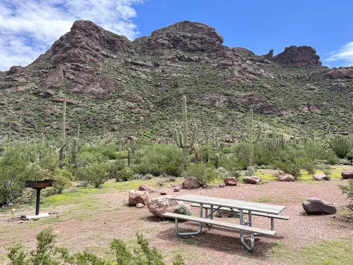
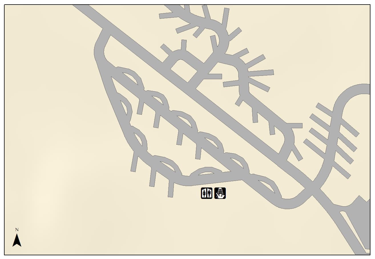
Cottonwood Campground is the corridor's north-side halfway house: 6.8 miles below the North Kaibab Trailhead at 4,080 feet, with an emergency phone, toilets, picnic tables, pack poles and metal food storage cans. The park calls it a small campground and publishes no site count. There is no ranger station here - the nearest is at Manzanita Rest Area, 1.4 miles up-trail. Recreation.gov sells a standard division, a large group division and a stock/Arizona Trail site.
Access is seasonal at the top rather than the bottom. North Rim roads and services close December 1 and Highway 67 stays shut until May 15, so the trailhead is simply unreachable by vehicle for half the year, and last-minute in-person permits for this campground exist only between May 15 and October 31.
Then there is the closure that changes everything. From 11:59 pm on October 15, 2026 the park closes the North Kaibab Trail from the Redwall Bridge - about 2.5 miles north of Manzanita - to the northern end of Cottonwood Campground, and states plainly that traditional rim-to-rim hiking will not be possible beginning October 16, 2026, through approximately February 2027. Recreation.gov has already created a Cottonwood division accessed from the South Rim to handle it.
Water is the other thing to get right. The park's mileage table gives Cottonwood a mid-May to mid-October window for the tap, but that is what the campground is plumbed for, not what is running. Water here comes off the Transcanyon Waterline, and the park publishes a live per-location status on its Key Hiking Messages page because, in its own words, these statuses are current but can change suddenly due to breaks in the waterline. On August 9, 2026 that page read water OFF due to pipeline break at Cottonwood, at Manzanita and at Bright Angel Campground, and all water off on the North Rim itself. Its own North Kaibab handout puts it bluntly: potable water stations should be considered a gift and not relied upon.
Every rim-to-rim hiker passes through here, and most of the ones who enjoy it sleep here. The North Kaibab is 14 miles from trailhead to the Colorado River, with more vertical than either South Rim trail, and Cottonwood is the one designated campground in the middle of it. It is also the campground that goes away for a while: from 11:59 pm on October 15, 2026 the park closes the North Kaibab between the Redwall Bridge and the north end of Cottonwood Campground, and traditional rim-to-rim hiking stops until roughly February 2027.
From the North Kaibab Trailhead at 8,241 feet the trail drops fast through Coconino Sandstone, past Supai Tunnel and the Redwall Bridge, then down the Roaring Springs drainage. Manzanita Rest Area sits 1.4 miles above camp with a toilet, shaded benches and the corridor's ranger station. Cottonwood Campground is at 4,080 feet, 6.8 miles from the trailhead by the park's mileage table - though the same handout's sidebar says 7 miles.
Below camp it is 1.6 miles to Ribbon Falls, where the bridge is gone and you have to find a place to ford the creek, and then 7.2 more miles to Bright Angel Campground and the river. That makes Cottonwood the natural first night of a north-to-south rim-to-rim, and the natural last night coming the other way.
Warmer than the rim by a long way and drier than the river. The canyon here is wide enough to see sky, with Bright Angel Creek running past camp and the walls stepping back in terraces. It is a quieter place than the South Rim corridor - fewer people, no ranger station, and a long way from anywhere in either direction.
The normal approach. Recreation.gov gives Cottonwood Campground as 6.8 miles and 4,161 feet of descent from here.
NPS says parking here is limited and is restricted to vehicles under 22 feet in length.
Highway 67 only. NPS says it is not possible to reach the trailhead by vehicle before May 15, and Recreation.gov says all North Rim roads and services are closed for the winter from December 1 through May 14.
The General Store adjacent to the North Rim Campground. NPS says that during the 2026 season there is no potable water on the North Rim and overnight lodging is not available there.
The southern approach, 7.2 miles and 1,600 feet below Cottonwood. From 11:59 p.m. on October 15, 2026 this becomes the only way in: NPS closes the North Kaibab Trail between Redwall Bridge and the northern end of Cottonwood Campground through approximately February 2027, and Recreation.gov already lists a Cottonwood division labelled as accessed from the South Rim.
Lottery concierge
Next season’s application dates aren’t published yet.
We check for them every day. Track Cottonwood now and your concierge picks them up the moment they land, then emails you when applications open, before the deadline, and when results post.
Better odds with a crew
Cottonwood is a lottery. Every friend who applies adds another entry, so a crew gets more shots at the same permit than any one of you alone.
One of you runs the pool (Pro or a $19 alert). Everyone else joins free.
Required and recommended gear for Cottonwood
Trailhead transportation options
Browse all shuttlesExperienced wilderness guides
Browse all guidesSome links may be affiliate links. Purchases support PermitSnag at no extra cost to you.
Competitive
estimated success rate
Get detailed lottery statistics and tips. Sign up to track this permit.
Apply with a crew to multiply your combined odds, and let auto win-detection tell you the moment you win — you never have to check National Park Service. Win-detection reads the result email you forward us, so it takes a one-time setup in your inbox (about two minutes, and we walk you through it). Pool and auto win-detection are on Pro or a $19 permit alert.
Yes. All overnight camping below the Grand Canyon rim requires a backcountry permit, issued through Recreation.gov. It costs $10 plus $15 per person per night, with park entrance fees charged separately on arrival.
6.8 miles by the park's trail-distance table, from a trailhead at 8,241 feet down to 4,080 feet. The same North Kaibab handout describes it as 7 miles in its sidebar. The climb back out is 4,161 feet, which is more vertical than either South Rim corridor trail.
There is a tap fed by the Transcanyon Waterline, and the park publishes a mid-May to mid-October window for it - but that is what the site is plumbed for, not what is flowing. On August 9, 2026 the park's Key Hiking Messages page read water OFF due to pipeline break at Cottonwood, at Manzanita and on the North Rim. The park's own advice for this trail is to treat the taps as a gift and not rely on them, so carry a filter or chemical treatment and plan to draw from Bright Angel Creek.
Only until October 15. The park closes the North Kaibab Trail from the Redwall Bridge to the northern end of Cottonwood Campground at 11:59 pm on October 15, 2026, and states that traditional rim-to-rim hiking will not be possible from October 16, 2026 through approximately February 2027. Recreation.gov has added a Cottonwood division reachable from the South Rim for the closure period.
May 15 to November 30. North Rim roads and services close December 1 and Highway 67 stays closed until May 15, so there is no vehicle access to the trailhead in winter. Last-minute in-person permits for this campground are sold only between May 15 and October 31.
The park does not publish a number - it describes Cottonwood only as a small campground. Recreation.gov sells a standard division, a large group division and a stock/Arizona Trail site, and its waitlist listing holds one site for up to four people from May 15 to October 31.
It is 1.6 miles below camp, but there is no longer a bridge from the main trail, so you have to find a suitable place to ford Bright Angel Creek. Do not attempt it when the creek is running high.
No active conditions reported
Sign in to report trail conditions.
No questions yet
Be the first to ask about Cottonwood.
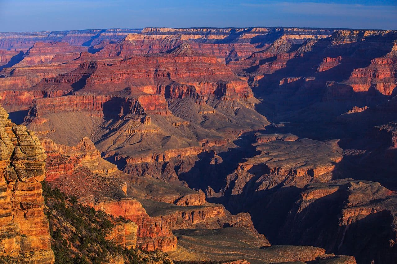
Late light on the terraces above camp, and first light hitting the Redwall on the climb out.
Ribbon Falls is in shade most of the day and photographs best under flat overcast or mid-morning bounce light off the far wall.
Rim-to-rim traffic moves through in the morning and again in late afternoon. The middle of the day at camp is usually empty, and Ribbon Falls belongs to whoever walks down after dinner.
Consider these alternatives if your preferred dates aren't available.
The river campground 7.2 miles below Cottonwood, beside Phantom Ranch at 2,480 feet.
The destination for most rim-to-rim itineraries, and by the park's own description the most requested below-rim campground in the park - so much harder to draw. Same waterline, and it read water OFF due to pipeline break on August 9, 2026.
The corridor's other halfway campground, 4.5 miles down the Bright Angel Trail from the South Rim.
Reachable year-round and easier to reach from Phoenix or Flagstaff, with a ranger station on site. Busier, and a shorter climb - 3,060 feet against Cottonwood's 4,161.
The full corridor traverse, with Cottonwood as the standard north-side night.
The trip most people are actually planning when they book this campground. Not possible from 11:59 pm on October 15, 2026 until roughly February 2027.
Nearby campgrounds to complete your Cottonwood trip
A small favor
Google lets you pick the sites it highlights for you. Add PermitSnag and our permit pages get marked as one of yours in AI Overviews and AI Mode.
Takes less than a minute.